
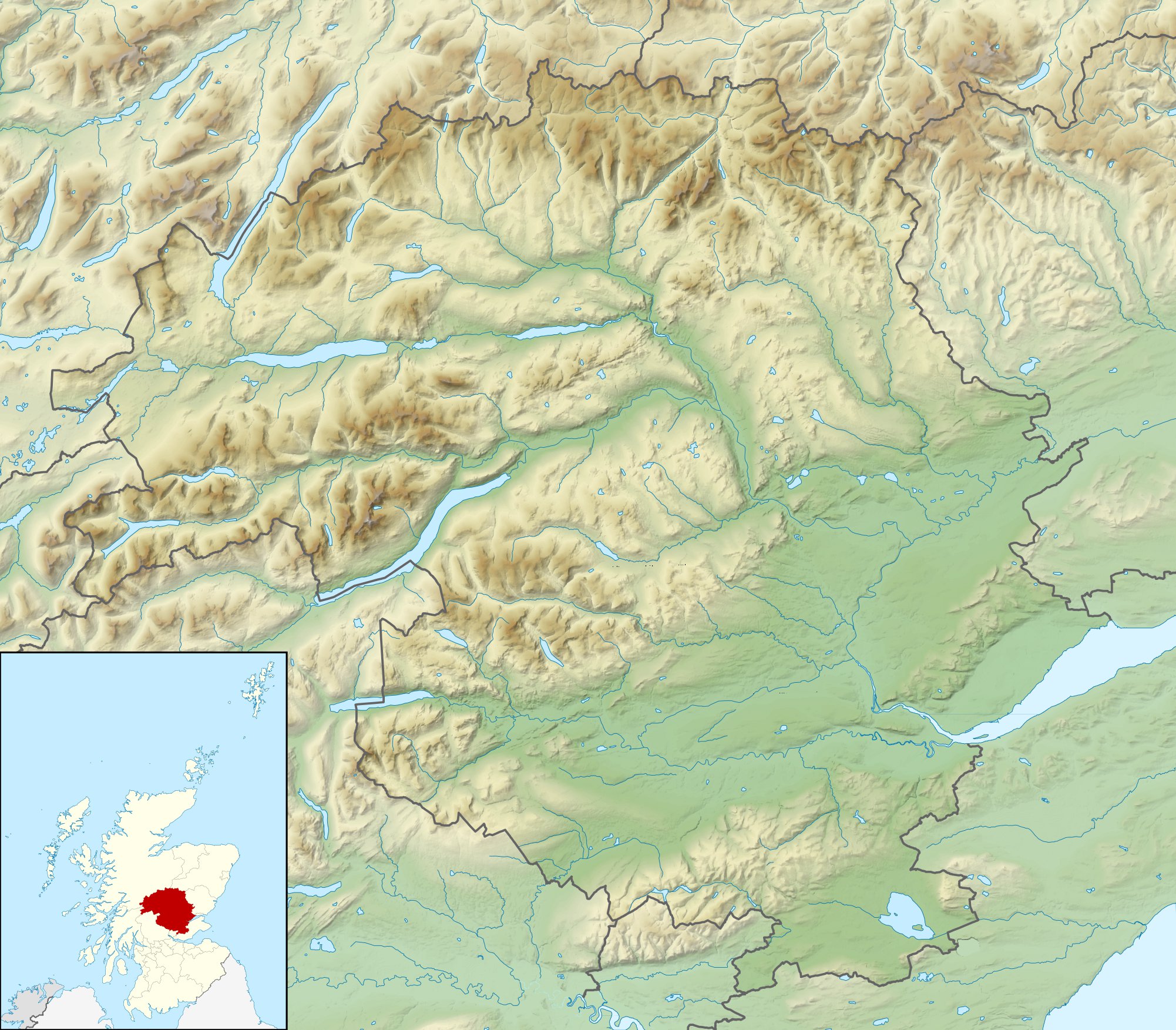
Image: Perth and Kinross UK relief location map
Description: Relief map of Perth and Kinross, UK. Equirectangular map projection on WGS 84 datum, with N/S stretched 180% Geographic limits: West: 4.80W East: 2.95W North: 57.00N South: 56.10N
Title: Perth and Kinross UK relief location map
Credit: Ordnance Survey OpenData. Relief data from Land-Form Panorama product. Administrative borders and coastline data from Boundary-Line product. All other geographic data from Meridian 2 product. Inset derived from derived from File:Scotland location map.svg by NordNordWest.
Author: Nilfanion, created using Ordnance Survey data
Permission: This file is licensed under the Creative Commons Attribution-Share Alike 3.0 Unported license. Attribution: Contains Ordnance Survey data © Crown copyright and database right You are free: to share – to copy, distribute and transmit the work to remix – to adapt the work Under the following conditions: attribution – You must attribute the work in the manner specified by the author or licensor (but not in any way that suggests that they endorse you or your use of the work). share alike – If you alter, transform, or build upon this work, you may distribute the resulting work only under the same or similar license to this one. http://creativecommons.org/licenses/by-sa/3.0 CC BY-SA 3.0 Creative Commons Attribution-Share Alike 3.0 truetrue
Usage Terms: Creative Commons Attribution-Share Alike 3.0
License: CC BY-SA 3.0
License Link: http://creativecommons.org/licenses/by-sa/3.0
Attribution Required?: Yes
Image usage
The following 46 pages link to this image:
- A' Bhuidheanach Bheag
- Black Loch (Perth and Kinross)
- Dunalastair Water
- Fingask Loch
- Loch Beanie
- Loch Benachally
- Loch Bhac
- Loch Broom (Perth and Kinross)
- Loch Con
- Loch Derculich
- Loch Eigheach
- Loch Errochty
- Loch Faskally
- Loch Fender
- Loch Freuchie
- Loch Garry (Dalnaspidal)
- Loch Hoil
- Loch Kennard
- Loch Leven (Kinross)
- Loch Loch
- Loch Lyon
- Loch Moraig
- Loch Ordie
- Loch Rannoch
- Loch Scoly
- Loch Skiach
- Loch Tay
- Loch Tilt
- Loch Tummel
- Loch Turret
- Loch nan Eun
- Loch of Butterstone
- Loch of Clunie
- Loch of Craiglush
- Loch of Drumellie
- Loch of the Lowes
- Lochan Saorach
- Lochan Sròn Smeur
- Monk Myre
- Pond of Drummond
- Rae Loch
- Schiehallion
- Stormont Loch
- Tullibardine Castle
- White Loch, Perth and Kinross
- Template:Location map Scotland Perth and Kinross
