List of rock formations of New Zealand facts for kids
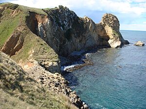
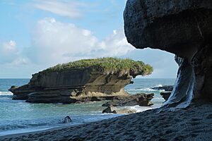
New Zealand is a land of incredible natural beauty, and many of its most amazing sights are its rock formations. These unique shapes in the land are created by a mix of powerful natural forces. Imagine the land being pushed up from below, while wind, rain, and waves constantly wear it down. The type of rock also plays a big part!
For example, waves and rivers can easily carve through softer rocks like sandstone, but harder rocks like basalt stand strong. Sometimes, water can even dissolve rocks like limestone, creating cool caves and special landscapes called karst. Other formations are built up by things like hot springs or volcanoes. This list explores some of New Zealand's most famous and interesting rock formations, showing off the power of nature!
Contents
North Island's Amazing Rocks
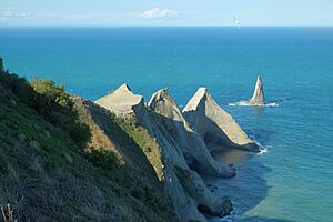
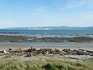
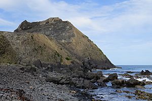
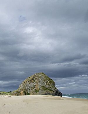
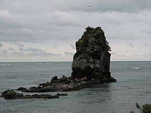
Cape Kidnappers (Hawke's Bay): This impressive headland has been shaped by the ocean's waves, creating a tall, isolated rock column known as a sea stack.
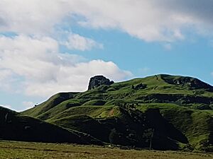
Castle Craig Rock (Waikato): This rock looks like an old castle, carved by natural erosion over time.
Castlepoint (Wellington, Wairarapa): The waves here have sculpted the coastline into interesting shapes.
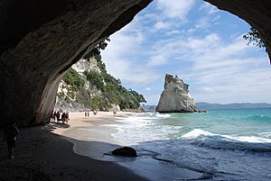
Cathedral Cove (Waikato, Coromandel Peninsula): A stunning natural archway and sea cave, carved by the ocean. It's a very popular spot for visitors!
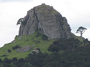
The Dome of Saint Paul (Northland, Whangaroa): This dome-shaped rock is made of igneous rock (formed from cooled lava) and has been shaped by erosion.
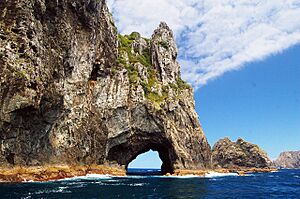
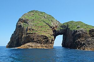
Hole in the Rock (Northland, Piercy Island): This limestone island features a famous natural arch, carved by waves. It's a major tourist attraction in the Bay of Islands.
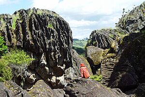
Horeke basalts, Wairere Boulders (Northland): These unique basalt boulders were once part of a lava flow. As softer rock underneath eroded away, the lava broke into these corrugated, rounded shapes.
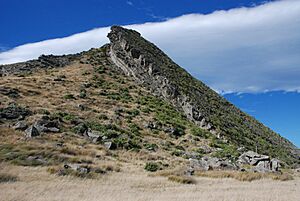
Kupe's Sail (Wellington, Wairarapa, Palliser Bay): This rock formation looks like a sail. It's a harder layer of rock that sticks out because the softer rock around it has worn away.
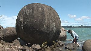
Koutu Boulders (Northland): These large, round boulders have been exposed by wave erosion along the coast.
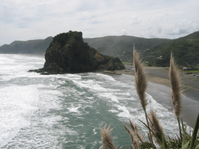
Lion Rock (Auckland, Piha): A prominent island with steep cliffs made of volcanic rock, shaped by the powerful waves. It looks a bit like a crouching lion!
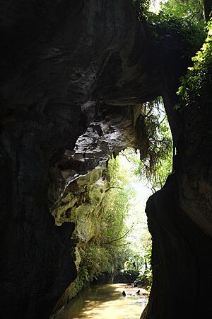
Mangapohue Natural Bridge (Waikato): This natural bridge was formed by erosion, especially in a karst landscape where water dissolves limestone.
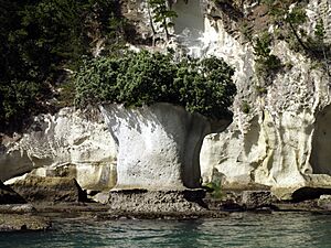
Natural Vase (Coromandel Peninsula): This rock has been shaped by wave erosion to resemble a vase.
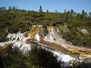
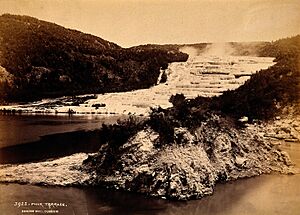
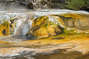
Orakei Korako (Bay of Plenty): This geothermal area features beautiful terraces like the Golden Fleece Terrace and Rainbow Terrace. They are formed when minerals from hot spring water cool and harden.
Pink and White Terraces (Bay of Plenty, Mount Tarawera): These were once magnificent geothermal terraces, famous for their colours. They were thought to be destroyed by the 1886 eruption of Mount Tarawera, but some parts might still be buried.
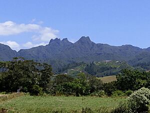
The Pinnacles (Waikato, Coromandel Peninsula): These tall, pointy spires are made of hard volcanic rock (andesite lava) that remained standing while the softer surrounding rocks eroded away.
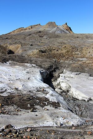
Pinnacle Ridge and Cathedral Rocks (Wanganui-Manawatu, Mount Ruapehu): These are impressive rock spires made of andesite, found near the summit of Mount Ruapehu.
Poor Knights Islands (Northland): These islands feature natural arches carved by the waves.
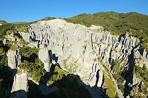
Putangirua Pinnacles (Wellington, Wairarapa): These amazing pinnacles are formed by erosion of sedimentary rock, creating a landscape that looks like something from another planet.
- Te Kaukau Point (Wellington, Wairarapa): The coastline here has been shaped by wave erosion.
- Three Sisters and Elephant Rock (Taranaki): These sea stacks and a natural arch are famous for how they have changed over time due to wave erosion.
Waimangu Volcanic Rift Valley (Bay of Plenty): This geothermal area includes interesting formations like Cathedral Rocks and Warbrick Terrace, shaped by hot springs.
Waro Limestone Reserve (Northland, Hikurangi): This reserve features unique limestone rock formations created by terrestrial erosion.
Young Nick's Head (Gisborne): This headland has been shaped by the constant action of waves.
South Island's Cool Formations
Blackhead (Otago, Dunedin): This area features rock spires and sea stacks made of volcanic rock, with cool patterns called columnar jointing.
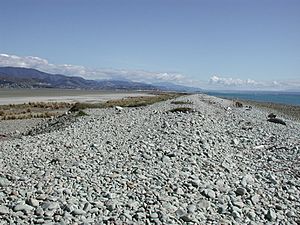
Boulder Bank (Nelson): This long natural bank is made of boulders, shaped by waves and the way sediments are deposited.
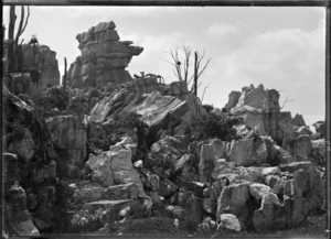
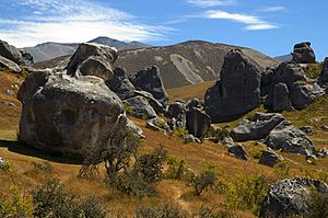
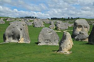
Castle Hill (Canterbury): This area is famous for its large, weathered limestone boulders, which look like the ruins of an old castle.
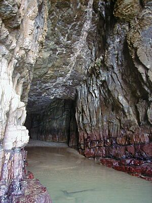
Cathedral Caves (Otago, The Catlins): These impressive sea caves have been carved out by wave erosion.
Cook's Head Rock (Otago): This rock formation has been shaped by the ocean's waves.
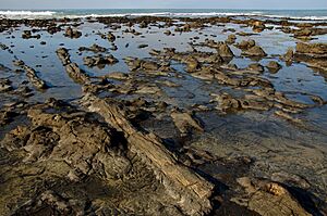
Curio Bay (Southland, The Catlins): This bay is home to a petrified forest, where ancient trees have turned into rock over millions of years due to wave erosion.
Elephant Rocks (Otago, Waitaki Valley): These large, rounded rocks look like a herd of elephants, shaped by natural erosion of sedimentary rock.
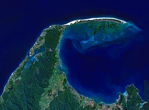
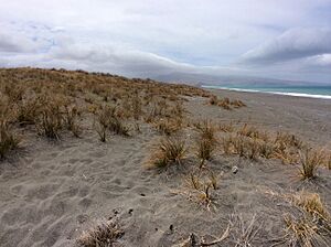
Farewell Spit (Tasman): This very long sandspit is formed by wave erosion and the deposition of sand.
Huriawa Peninsula (Otago, Karitane): This peninsula features natural arches and sea stacks, all shaped by wave erosion.
Kaitorete Spit (Canterbury): Another long spit formed by wave erosion and deposition.
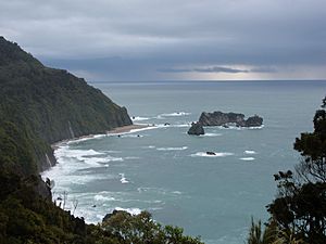
Knights Point (West Coast): This area has dramatic cliffs and sea stacks, formed by a combination of land uplift and strong erosion from the sea.
- Lion's Head Rock (Otago, Sandfly Bay): This sea stack has been shaped by wave erosion and resembles a lion's head.
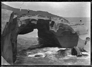
Lovers Leap and The Chasm (Otago, Sandymount): These formations include a natural arch, carved by wave erosion.
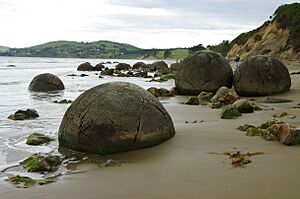
Moeraki Boulders (Otago): These famous, perfectly round boulders are made of hard calcite. They have been exposed by wave erosion from softer mudstone cliffs. You can even see some still stuck in the cliff!
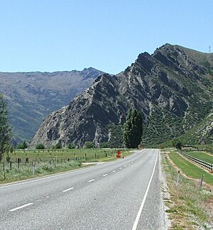
Nevis Bluff (Otago, Kawarau Valley): A very steep cliff face made of mica schist, formed by land being pushed up and then eroded by the river.
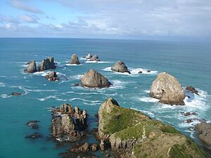
Nugget Point (Otago, The Catlins): This prominent headland has several sea stacks, which are tall rock columns standing in the sea. The near-vertical rock layers create steep cliffs.
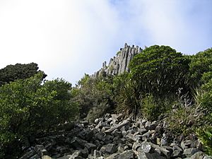
- The Obelisk (The Old Man; Kopuwai) (Otago, Old Man Range / Kopuwai): This formation is shaped by "freeze-thaw weathering," where water freezes and expands in cracks, breaking the rock apart.
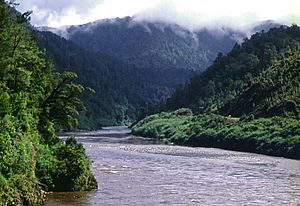
The Old Man of the Buller (West Coast, Buller River): A distinctive rock formation along the Buller River.
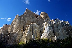
Omarama Clay Cliffs (Otago, Ahuriri Valley): These impressive cliffs are made of clay and have been shaped by glacial erosion.
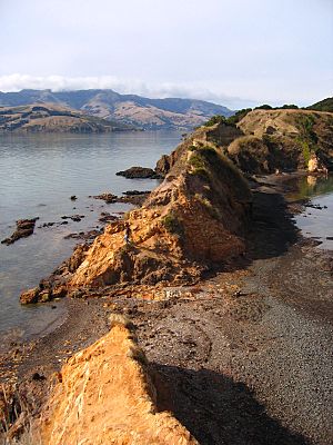
Ōnawe Peninsula (Canterbury, Banks Peninsula): This peninsula has been shaped by wave erosion.
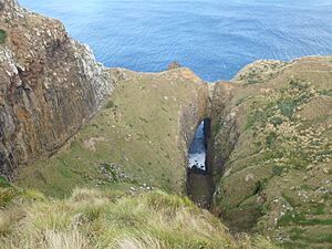
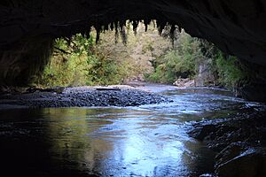
Oparara Basin Arches (West Coast): Here, groundwater has eroded through limestone and granite, creating amazing caves and natural arches.
The Organ Pipes (Otago, Dunedin): These volcanic rock spires look like organ pipes because of their unique basaltic columnar jointing.
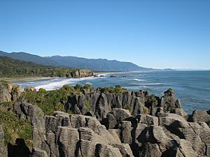
Pancake Rocks (West Coast, Punakaiki): These rocks look like stacks of pancakes! They are a coastal karst landscape, where layers of limestone have been shaped by waves and pressure.
The Pyramids (Otago, Dunedin): These sea stacks resemble pyramids, shaped by wave erosion.
Rapanui (Shag Rock) (Canterbury, Christchurch): This sea stack was partly damaged during the 2011 Christchurch earthquake.
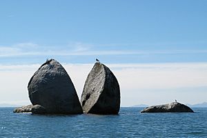
Split Apple Rock (Tasman): This granite boulder looks like a giant apple split in half! It was divided along a natural crack by wave erosion.
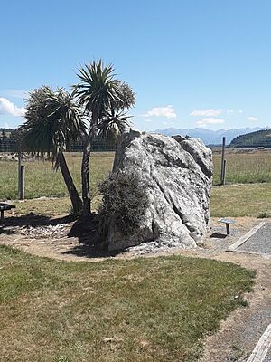
Te Anau glacial erratic (Southland, Te Anau): This huge boulder is a "glacial erratic," meaning it was carried about 50 kilometres from the Fiordland mountains by a glacier in the past and then left behind when the ice melted.
Truman Track (West Coast, Punakaiki): This area features sea cliffs made of sandstone and mudstone, with a raised platform along the shore, all shaped by wave erosion.
Tunnel Beach (Otago, Dunedin): This spot has sandstone sea cliffs and a natural bridge, plus a tunnel carved by people.
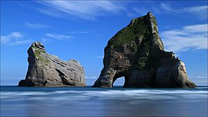
Wharariki Beach (Tasman): This beautiful beach features natural arches carved by the waves.
Formations elsewhere
- Gog and Magog (Stewart Island / Rakiura): These are volcanic plugs, which are the hardened cores of ancient volcanoes that have been exposed by erosion.
- Ohira Bay basalt columns (Chatham Island): These are columns of volcanic rock (basalt) that have been exposed by erosion.
Maps
See also
- List of caves of New Zealand
- List of rock formations
- Stratigraphy of New Zealand
- Geomorphology
 | Janet Taylor Pickett |
 | Synthia Saint James |
 | Howardena Pindell |
 | Faith Ringgold |


