Pumicestone Channel facts for kids

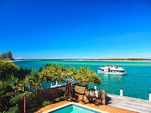
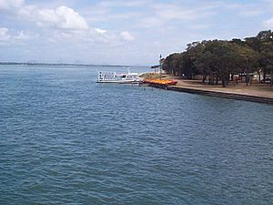
The Pumicestone Channel, also known as the Pumicestone Passage, is a narrow waterway in Queensland, Australia. It is about 45 kilometers long. This passage runs between Bribie Island and the mainland. Its northern end is at Caloundra. Its southern end is at Deception Bay.
This waterway is an estuary. This means fresh water from 11 creeks mixes with ocean tides here. The tides flow both ways. The channel is deepest and widest at both its northern and southern ends. Sometimes, when tides are very high and waves are big, ocean water flows into the passage. This happens through sandy channels at the northern tip of Bribie Island.
History of Pumicestone Channel
Explorer Matthew Flinders first mapped this channel in 1799. He called it 'Pumice-stone River'. He saw lots of pumice stone along its shores. Flinders was the first European explorer to enter Moreton Bay. He explored the bay for two weeks on his ship, the Sloop H. M. 'Norfolk'. During this time, he named Point Skirmish and Pumice-stone River.
In January 2022, a natural event changed Bribie Island. A breakthrough occurred, splitting the island into two parts. The main channel for Pumicestone Passage moved south. Since then, the Caloundra Bar has filled with sand. These changes have raised concerns about the water quality at the northern end of the passage.
Wildlife and Environment
The Pumicestone Passage Marine Park was created in 1986. It is now part of the Moreton Bay Marine Park. This park stretches from the southern entrance near Bribie Island and Sandstone Point. It goes north to the Caloundra bar. The marine park is over 35 kilometers long. It covers an area of 63 square kilometers.
Bribie Island has suburbs like Bongaree, Woorim, Bellara, Banksia Beach, and White Patch. You can reach Bribie Island by an 800-meter-long bridge over the Pumicestone Passage. The marine park has 24 islands. It is surrounded by 240 kilometers of shoreline.
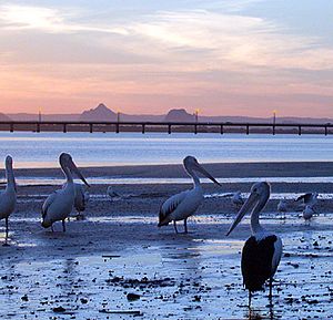
About 80 percent of the channel is less than two meters deep. Dugongs often visit these waters. They come to eat the seagrass meadows on the channel's bottom. Dolphins and turtles also live here. Over 350 species of birds call the channel home. The area has many different habitats. These include mangroves, saltmarshes, sand flats, mud flats, and coastal dunes.
The channel is part of the Moreton Bay and Pumicestone Passage Important Bird Area. This area is important because it supports many migratory waders, also known as shorebirds.
See also
 In Spanish: Pasaje Pumicestone para niños
 | Charles R. Drew |
 | Benjamin Banneker |
 | Jane C. Wright |
 | Roger Arliner Young |


