
Rahway River Parkway facts for kids


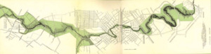
The Rahway River Parkway is a special green space, like a long, green hallway, that follows the Rahway River and its smaller streams in Union County, New Jersey. It was created in the 1920s and was one of the very first projects of the Union County Parks Commission. The famous Olmsted Brothers firm, whose father Frederick Law Olmsted designed New York City's Central Park, planned this parkway. Today, a bigger plan called the Rahway River Greenway aims to connect even more green areas along the river. Many of the bridges crossing the river are quite old, built in the late 1800s or early 1900s. You can even find parts of the East Coast Greenway (a long trail for walking and biking) that use paths and roads within the parkway.
Contents
History: How the Rahway River Parkway Began
The idea for the Rahway River Parkway started in 1919. James E. Warner, who was the Union County Sheriff, wanted to "save" the river. He wrote to a local newspaper, The Cranford Citizen, suggesting the river area become a memorial for young men who died in World War I. Other newspapers like The Rahway Record and The Westfield Leader also supported this idea. The Elizabeth Daily Journal even said it was "a duty rather than an opportunity." The Rahway Women's Club also sent a letter supporting the plan to the Union County Board of Freeholders (local government leaders).
Creating the Park Commission
The Elizabeth Chamber of Commerce helped create the Union County Park Association. This group pushed for a special park commission to be formed. In April 1921, a judge named James J. Bergen was asked to appoint a temporary group to study if a park commission was possible. On April 30, this temporary group was named and given $10,000 and two years to finish their study. But they worked very fast! They finished in just five months and returned most of the money ($8,391). Their report urged everyone to act quickly before all the open land was built on. On November 8, 1921, voters were asked to approve a permanent five-member Park Commission and give them $2.5 million to spend on parks. The Parkway was then built between 1921 and 1929, following the plans of the Olmsted Brothers.
Exploring the Rahway River Parkway

The Rahway River actually starts as four different streams. These streams eventually meet in Rahway, and from there, the river flows as one big waterway to the Arthur Kill. The longest part, called the West Branch, flows for 24 miles from Verona. Another part, the East Branch, starts in West Orange and Montclair. It joins the West Branch in Springfield, forming the main part of the river. Other streams like Nomahegan Brook and Black Brook also join in.
The original Rahway River Parkway stretched for about seven miles. It includes the streams and the main river as it flows through towns like Union, Westfield, Springfield, Cranford, Kenilworth, Winfield, Clark, and Rahway. In Rahway, two more branches, Robinsons Branch and the South Branch, join the river. The parkway includes many county and town parks, plus trails along the riverbanks. Some of these trails are part of the East Coast Greenway. The river continues into Linden, Woodbridge, and Carteret, which also have parks along it. These newer parks are part of the 21st-century Rahway River Greenway Plan.
Parks and Fun Spots Along the Rahway River
The Rahway River Parkway is home to many parks and interesting places. Here are some of them:
| Park or Feature | Location | What to Know |
|---|---|---|
| Larchmont Reservation | Union | A natural area to explore. |
| Rahway Valley Railroad Bridge | Union and Springfield | An old railroad bridge crossing the river. |
| Meisel Avenue Park | Springfield | A local park for recreation. |
| Black Brook Park | Kenilworth | Named after Black Brook, which flows into the Rahway River. |
| Echo Lake Park | Westfield and Springfield | A large park with a lake. |
| Lenape Park | Westfield, Springfield, Kenilworth, and Cranford | A long park connecting several towns. |
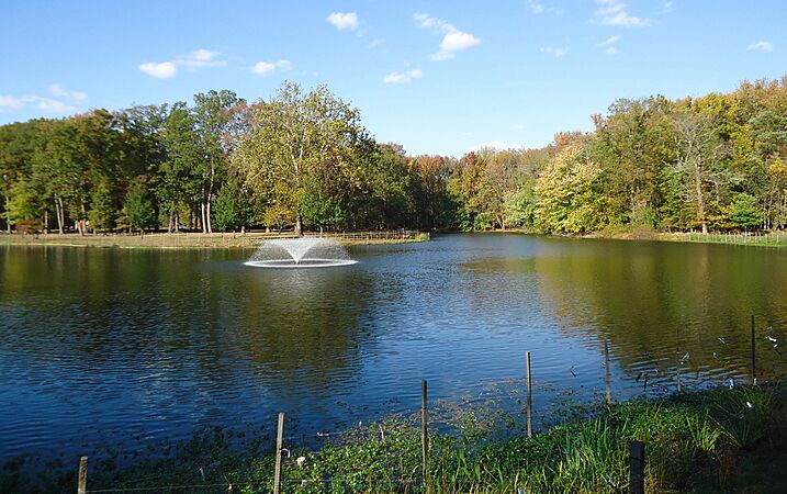
| Nomahegan Park | Cranford | A popular park with a lake and open spaces. |
| Memorial Park | A park dedicated to remembrance. | |
| Hampton Park | Another community park in Cranford. | |
| MacConnell Park | A smaller park along the river. | |
| Girl Scout Park | A park often used by local Girl Scout troops. | |
| Cranford Canoe Club | A historic club where people enjoy canoeing and kayaking on the river. | |
| Hanson Park | A lovely park in Cranford. | |
| 9/11 Memorial Park / Josiah Crane Park | A park that serves as a memorial and a historical site. | |
| Sperry Park | Named for William Miller Sperry, this park is also home to the Crane-Phillips House. | |
| Droescher's Mill Park | Named after the historic Droescher's Mill. | |
| Mohawk Park | A park with natural beauty. | |
| Big Bend Lake | A lake that is part of the parkway system. | |
| Bloodgoods Pond | Clark | Named after Bloodgoods Felt Mill, an old factory. |
| Jacksons Pond | Another pond in the parkway system. | |
| Rahway River Park | Clark and Rahway | A large park along the main stem of the Rahway River. |
| Rahway Cemetery | Rahway | A historic cemetery, also near the Merchants' and Drovers' Tavern. |
| Squires Island | A small island in the river. | |
| Bezega Wetland Observation Park | A great place to observe wetlands and wildlife. | |
|
|
||
| Wheatena Park | Rahway | Named after the Wheatena company. |
| Lower Essex Street Park | A park located on Lower Essex Street. | |
|
|
||
| Waterfront Park | Rahway | A park right on the river's edge. |
| Rahway Yacht Club | A club for boating enthusiasts. | |
| Hawk Rise Sanctuary | Linden | A wildlife sanctuary, great for birdwatching. |
| Joseph Medwick Park | Carteret | Named for the famous baseball player Joe Medwick. |
Images for kids
- Rahway River
-
Lake Nomahegan
-
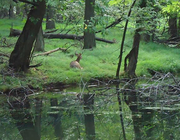
Wildlife in Springfield
-
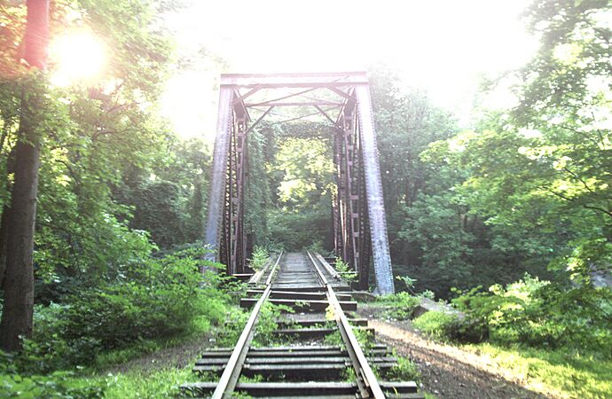
Rahway Valley Railroad Bridge
-
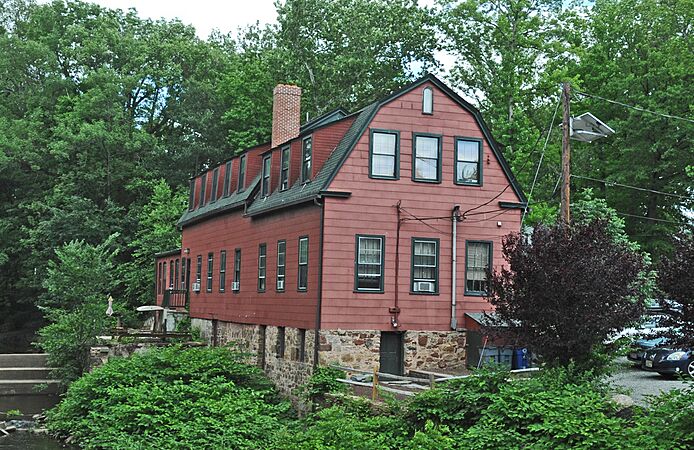
Droescher's Mill
-
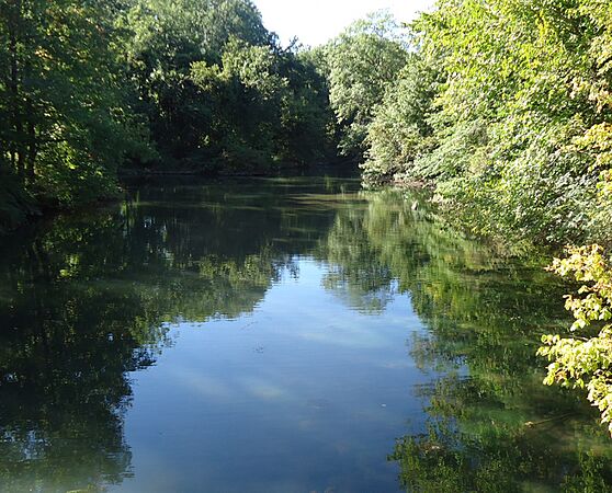
From footbridge in Cranford
-
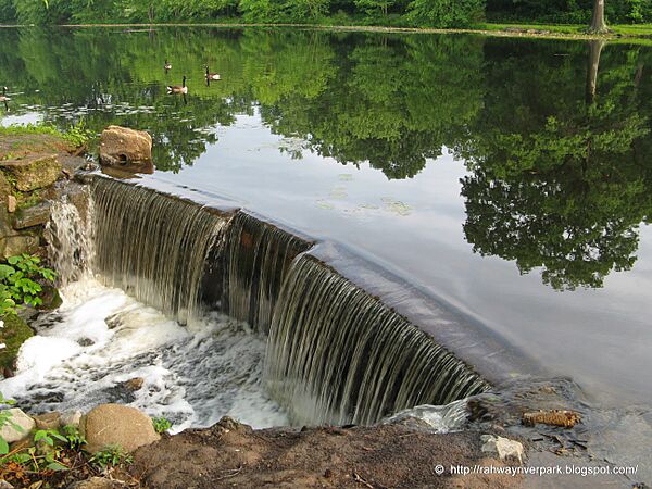
Dam in Union
-
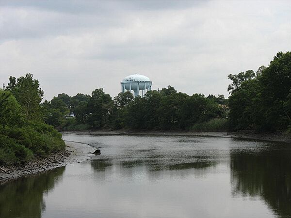
Rahway Water Tower
-
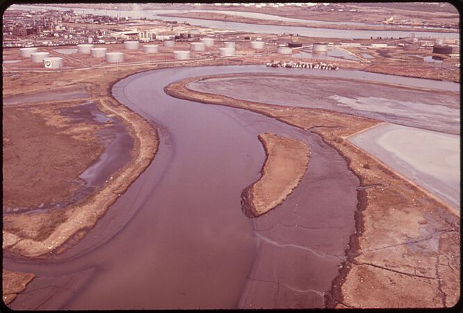
Tidal flats


