
Florida State Road A1A facts for kids
Quick facts for kids
|
||||
|---|---|---|---|---|
| Lua error in Module:Infobox_road/map at line 15: attempt to index field 'wikibase' (a nil value). | ||||
| Route information | ||||
| Maintained by FDOT | ||||
| Length | 328.92 mi (529.35 km) | |||
| Existed | 1945 renumbering (definition)–present | |||
| Major junctions | ||||
| South end | Bertha Street in Key West | |||
|
||||
| North end | ||||
| Location | ||||
| Counties: | Monroe, Miami-Dade, Broward, Palm Beach, Martin, St. Lucie, Indian River, Brevard, Volusia, Flagler, St. Johns, Duval, Nassau | |||
| Highway system | ||||
| Florida State and County Roads Interstate • US • SR (Pre-1945) • Toll • County
|
||||


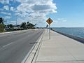
State Road A1A is a road in the U.S. State of Florida. The road starts in Key West and ends in Callahan. It is the main road through most towns in Florida along the Atlantic Ocean.
Images for kids
-
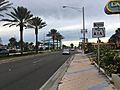
The beginning of SR A1A (mile marker 0) at Bertha Street in Key West
-
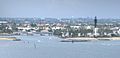
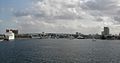
SR A1A crossing the Hillsboro Inlet between Pompano Beach and Hillsboro Beach
-
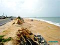
Scenic stretch of SR A1A in Flagler Beach
-
SR A1A northbound past the eastern terminus of US 92 in Daytona Beach
-
Northern terminus of SR A1A in Callahan
-
SR A1A as it runs over the 17th Street Causeway in Ft. Lauderdale.
-
SR A1A as it runs over the South Causeway in New Smyrna Beach.
-
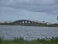
SR A1A as it runs over the Halifax River in Port Orange.
-

SR A1A in Daytona Beach
-
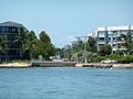
SR A1A in Key West
-
SR A1A in Boca Raton
-

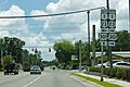
SR A1A sign in St. Augustine
-
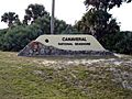
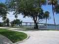
Entrance of Canaveral National Seashore from CR A1A.


.jpg)


See also
 In Spanish: Carretera Estatal de Florida A1A para niños
