
Image: East Riding of Yorkshire UK location map

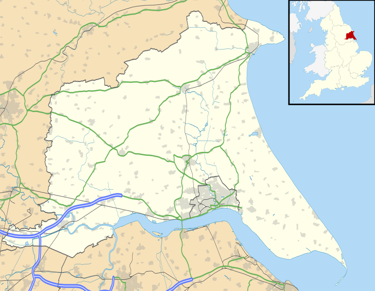
Description: Map of the East Riding of Yorkshire, UK with the following information shown: Administrative borders Coastline, lakes and rivers Roads and railways Urban areas Equirectangular map projection on WGS 84 datum, with N/S stretched 165% Geographic limits: West: 1.11W East: 0.25E North: 54.20N South: 53.56N
Title: East Riding of Yorkshire UK location map
Credit: Ordnance Survey OpenData. Administrative borders and coastline data from Boundary-Line product. All other geographic data from Meridian 2 product. Inset derived from England location map.svg by Spischot.
Author: Nilfanion, created using Ordnance Survey data
Permission: This file is licensed under the Creative Commons Attribution-Share Alike 3.0 Unported license. Attribution: Contains Ordnance Survey data © Crown copyright and database right You are free: to share – to copy, distribute and transmit the work to remix – to adapt the work Under the following conditions: attribution – You must give appropriate credit, provide a link to the license, and indicate if changes were made. You may do so in any reasonable manner, but not in any way that suggests the licensor endorses you or your use. share alike – If you remix, transform, or build upon the material, you must distribute your contributions under the same or compatible license as the original. https://creativecommons.org/licenses/by-sa/3.0 CC BY-SA 3.0 Creative Commons Attribution-Share Alike 3.0 truetrue
Usage Terms: Creative Commons Attribution-Share Alike 3.0
License: CC BY-SA 3.0
License Link: https://creativecommons.org/licenses/by-sa/3.0
Attribution Required?: Yes
Image usage
The following 43 pages link to this image:
- Bempton Cliffs
- Beverley
- Bridlington
- Brough, East Riding of Yorkshire
- Burton Fleming (archaeological site)
- Church of All Saints, Pocklington
- Church of St Michael and All Angels, Garton on the Wolds
- Cottam, East Riding of Yorkshire
- Cowlam
- Danes Graves
- Driffield
- Flamborough
- Flamborough Head Lighthouse
- Fort Paull
- Goole
- Hedon
- Hessle
- Hornsea
- Howden
- Hull Castle
- Londesborough Barracks
- Market Weighton
- Octon, East Riding of Yorkshire
- Pocklington
- Preston, East Riding of Yorkshire
- RAF Holmpton
- Rawcliffe, East Riding of Yorkshire
- Riplingham
- Risby, East Riding of Yorkshire
- Rudston Monolith
- Skipsea Castle
- Sledmere
- South Cave
- Spurn
- St Charles Borromeo, Hull
- St Patrick's Church, Patrington
- Stamford Bridge, East Riding of Yorkshire
- Wauldby
- Wenlock Barracks
- Wetwang Slack
- Whitton Island
- Wilberfoss
- Withernsea
