Mount Field (New Hampshire) facts for kids
Quick facts for kids Mount Field |
|
|---|---|

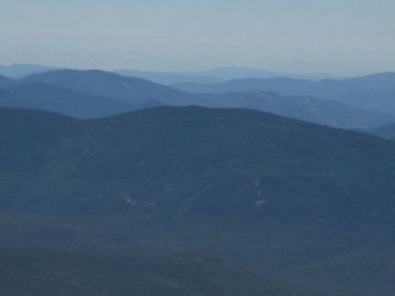
Mount Field as seen from below the summit of Mount Jefferson
|
|
| Highest point | |
| Elevation | 4,327 feet (1,319 m) |
| Prominence | 1,681 ft (512 m) |
| Listing | White Mountain 4000-Footers |
| Geography | |
| Location | Grafton County, New Hampshire, U.S. |
| Parent range | White Mountains, Willey Range |
| Topo map | USGS Crawford Notch (NH) |
Mount Field is a beautiful mountain found in Grafton County, New Hampshire. It's part of the famous White Mountains in the United States. Mount Field is the tallest peak in the Willey Range.
This mountain got its name from Darby Field. He was a person who, way back in 1642, was the first known climber to reach the top of Mount Washington. Mount Field has two other mountains nearby: Mount Tom to its northwest and Mount Willey to its southwest.
Where the Water Flows
Mount Field is special because water from its slopes flows in three different directions. These areas are called watersheds. A watershed is like a big bowl where all the rain and snowmelt collect and drain into a single river or lake.
Rivers and Their Journeys
- On the northeast side, water from Mount Field flows into the Saco River. This river eventually reaches the Gulf of Maine in Maine.
- On the south side, water goes into the North Fork Pemigewasset River. This leads to the Pemigewasset River and then the Merrimack River. The Merrimack River finally reaches the ocean in Massachusetts.
- On the west side, water drains into the Zealand River. This river joins the Ammonoosuc River, then the Connecticut River, and finally flows into Long Island Sound in Connecticut.
This means that a single raindrop falling on Mount Field could end up in three different parts of the Atlantic Ocean!
 | Sharif Bey |
 | Hale Woodruff |
 | Richmond Barthé |
 | Purvis Young |

