South Hampton Roads facts for kids

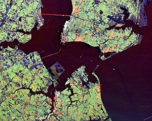
South Hampton Roads is a special area in the southeastern part of Virginia, a state in the United States. It is part of a bigger area called the Virginia Beach-Norfolk-Newport News Metropolitan Area. Around 1.7 million people call this place home.
The whole area, including the water, is often called Hampton Roads. The land part of Hampton Roads is split into two sections. These are South Hampton Roads on the south side and the Virginia Peninsula on the north side. People who live here often call South Hampton Roads "the Southside."
In 2010, the Hampton Roads area was the fifth largest in the southeastern United States. It was also the second largest between Washington, D.C. and Atlanta, Georgia. The name "Hampton Roads" was chosen for political reasons. For many years, locals called the area "Tidewater." Even the local baseball team was called the Tidewater Tides for a long time. They are now known as the Norfolk Tides.
Contents
Military Bases in South Hampton Roads
South Hampton Roads is home to many important United States military bases. These bases play a big role in the area's history and economy.
Portsmouth's Historic Bases
The cities of Portsmouth has two very important and historic military bases. These are Norfolk Naval Shipyard and Naval Medical Center, Portsmouth. The shipyard started as the Gosport Shipyard on November 1, 1767. It was the first place in the county with a dry dock, which is a special area to repair ships.
Its name was changed after the American Civil War. Even though it's in Portsmouth, it was named Norfolk. This was because there was another U.S. Navy shipyard in Portsmouth, New Hampshire. Portsmouth also has several smaller military bases.
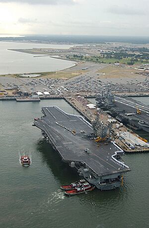
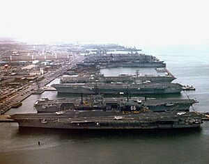
Norfolk is home to Naval Station Norfolk. This is the main base for the United States Navy's Atlantic Fleet. The base was built in 1917. It is known as the largest naval facility in the world.
Virginia Beach's Air and Amphibious Centers
Virginia Beach has two major Navy bases: Naval Air Station Oceana (NAS Oceana) and Naval Amphibious Base Little Creek (NAB Little Creek). NAS Oceana is the biggest employer in Virginia Beach. Both of these bases, like the Norfolk Navy Base, are said to be the largest of their kind in the world.
Virginia Beach also has NAVSEA Dam Neck. It is also home to Joint Expeditionary Base East.
Chesapeake's Support Facilities
St. Julien's Creek Annex is a U.S. Navy base located in Chesapeake. It sits along the Elizabeth River and began in 1849. Today, it is part of the larger Norfolk Navy Base. Chesapeake is also home to U.S. Naval Auxiliary Landing Field Fentress. This field helps with training for NAS Oceana.
How Local Governments Changed
From Colonial times through the first 150 years of the United States, South Hampton Roads was always changing. Local governments often changed because the population grew. As more people moved in, counties were divided, and new towns were created. Some towns grew big enough to become cities.
In 1871, changes were made to the state constitution. One important change made all cities in Virginia independent cities. This meant they were no longer part of the counties they were once in.
In the second half of the 1900s, many cities, counties, and towns in South Hampton Roads joined together. Many smaller towns and cities combined to form a few larger cities. This kind of joining of rural areas and cities is unique in Virginia. These changes created some of Virginia's largest cities by land area. They also have a lot of farming.
Current Cities, Counties, and Towns
The South Hampton Roads region today has five independent cities, two counties, and five towns.
Independent Cities
- Chesapeake (used to be Norfolk County)
- Norfolk
- Portsmouth
- Suffolk
- Virginia Beach (used to be Princess Anne County)
Counties
Incorporated Towns
- Surry County
- Town of Claremont
- Town of Dendron
- Town of Surry (this is also where the county government is located)
- Isle of Wight County
 | Frances Mary Albrier |
 | Whitney Young |
 | Muhammad Ali |


