Xinjiang facts for kids
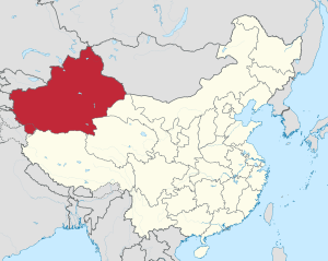
Xinjiang is a large region in the northwest part of China. It is a huge area, about 1.6 million square kilometers, which is like one-sixth of China's total land! Even though it's so big, not many people live there.
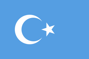
Most of the people living in Xinjiang are Uyghurs. They are a group of people who speak a language similar to Turkish.
Xinjiang is very important because it was once at the center of the famous Silk Road in China. The Silk Road was an ancient network of trade routes that connected the East and West. Many years ago, this area was sometimes called "Chinese Turkestan" because of the many Turkic people who lived there.
Xinjiang shares borders with many places. To the south, it borders the Tibet Autonomous Region and a part of Jammu and Kashmir. To the southeast, it borders Qinghai and Gansu provinces. To the east, it borders Mongolia. To the north, it borders Russia. And to the west, it borders Kazakhstan, Kyrgyzstan, Tajikistan, and Afghanistan. It also borders Pakistan and the Kashmir region to the southwest.
Ürümqi is the capital city of Xinjiang. It is also the biggest city in Western China. Ürümqi holds a special world record: it is the city farthest away from any ocean! It's about 2,500 kilometers from the nearest coastline.
Land and Nature
Xinjiang has different types of land. The Tian Shan Mountains run from east to west, dividing the region into two main parts.
Northern Xinjiang
In the north, you'll find a dry grassland area called Dzungaria.
Southern Xinjiang
To the south of the mountains is the Tarim Basin. This area is mostly a desert, but it has green spots called oases around its edges. One of the biggest deserts in Xinjiang is the Taklamakan Desert. In the eastern part of the region, there's also a very low area called the Turpan Depression.
Major Cities
Besides Ürümqi, other important cities in Xinjiang include Turpan, Kashgar, Karamay, Yining, and Shihezi.
Images for kids
-
The Roman and Han Empires, around AD 1
-
A Sogdian man on a Bactrian camel. Sancai ceramic statuette, Tang dynasty
-
Mongol states from the 14th to the 17th centuries: the Northern Yuan dynasty, Four Oirat, Moghulistan and Kara Del
-
Yakub Beg, ruler of Yettishar
-
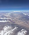
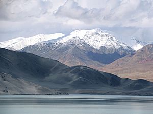
Close to Karakoram Highway in Xinjiang.
-
Statue of Mao Zedong in Kashgar
-
Wind farm in Xinjiang
-
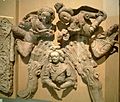
Sogdian donors to the Buddha, 8th century fresco (with detail), Bezeklik, Eastern Tarim Basin
-
A mosque in Ürümqi
-
People sporting in snow by a statue of bodhisattva Guanyin in Wujiaqu
See also
 In Spanish: Sinkiang para niños


