
Image: Australia Northern Territory relief location map
Size of this preview: 431 × 599 pixels. Other resolutions: 172 × 240 pixels | 1,339 × 1,862 pixels.
Original image (1,339 × 1,862 pixels, file size: 802 KB, MIME type: image/png)
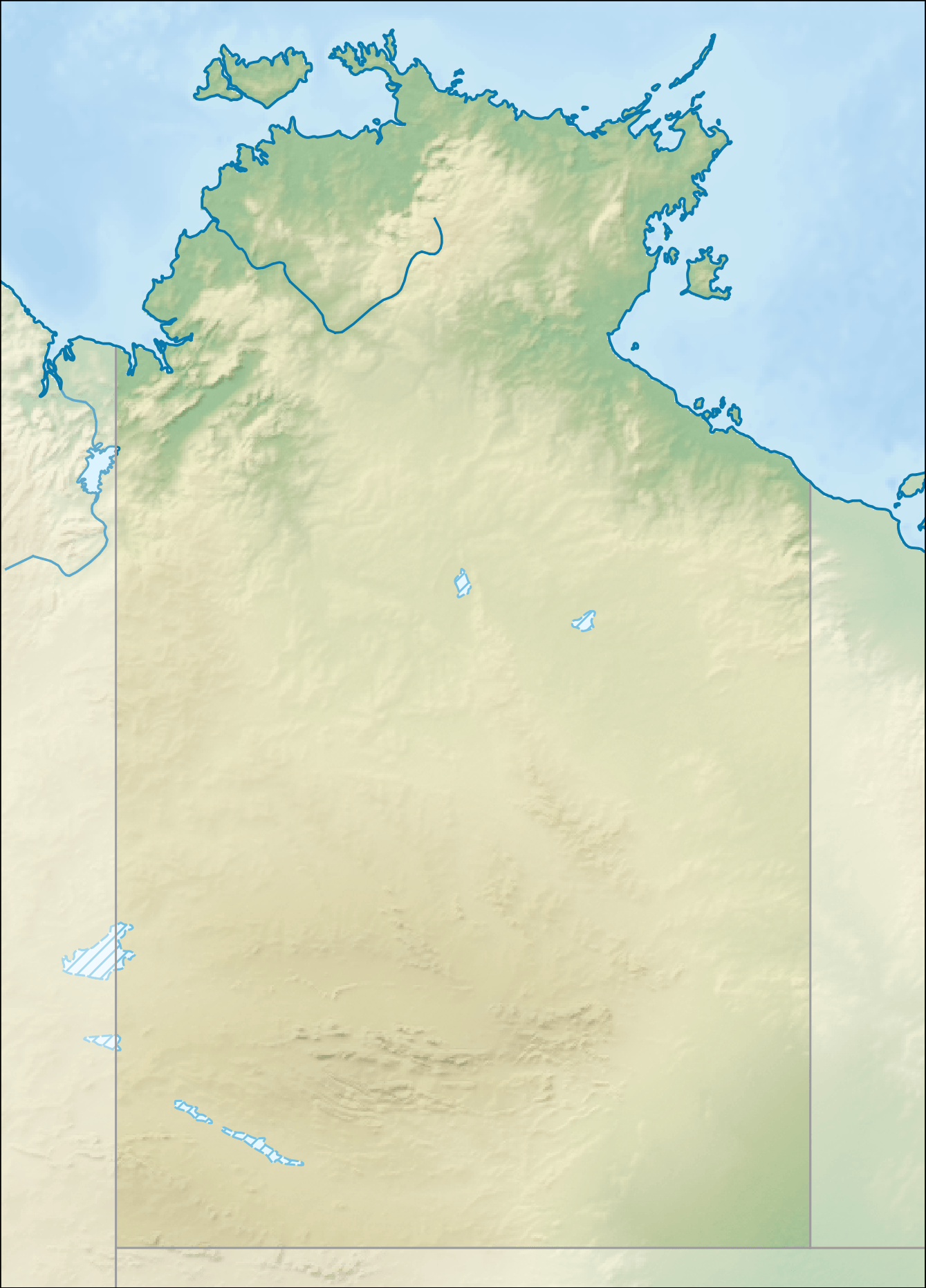
Description: Relief location map of the Northern Territory, Australia Equidistant cylindrical projection, latitude of true scale 17.75° S (equivalent to equirectangular projection with N/S stretching 105 %). Geographic limits of the map: N: 10.6° S S: 26.5° S W: 127.5° E E: 139.5° E
Title: Australia Northern Territory relief location map
Credit: DEM: CleanTOPO 2 Shaded relief, coastline, boundaries, rivers and lakes: Natural Earth
Author: Tentotwo
Usage Terms: Creative Commons Attribution-Share Alike 3.0
License: CC BY-SA 3.0
License Link: http://creativecommons.org/licenses/by-sa/3.0
Attribution Required?: Yes
Image usage
The following 71 pages link to this image:
- Alligator Rivers
- Anna's Reservoir Conservation Reserve
- Arnold River (Northern Territory)
- Beagle Gulf
- Billy Goat Hill (Alice Springs)
- Blackmore River
- Blackmore River Conservation Reserve
- Blyth River (Northern Territory)
- Bonaparte Basin
- Buckingham River
- Bullwaddy Conservation Reserve
- Calvert River
- Cape Don Light
- Caranbirini Conservation Reserve
- Casuarina Coastal Reserve
- Channel Point Coastal Reserve
- Charles Darwin National Park
- Connells Lagoon Conservation Reserve
- Corroboree Rock Conservation Reserve
- Elizabeth River (Northern Territory)
- Emery Point Light
- Ewaninga Rock Carvings Conservation Reserve
- Fish River Station
- Fitzmaurice River
- Fogg Dam Conservation Reserve
- Goomadeer River
- Goyder River
- Groote Eylandt
- Henbury Meteorites Conservation Reserve
- Honeymoon Gap
- Illamurta Springs Conservation Reserve
- Kakadu National Park
- Karlu Karlu / Devils Marbles Conservation Reserve
- Kata Tjuta
- Keep River
- Kelly Hills
- Kintore Caves Conservation Reserve
- Koolatong River
- Kuyunba Conservation Reserve
- Lake Mary Ann
- Limmen Bight River
- Litchfield National Park
- Liverpool River
- Mac Clark (Acacia peuce) Conservation Reserve
- Madjedbebe
- Mary River National Park
- McArthur River
- Mount Leisler
- Mount Sonder
- Mount Unapproachable
- Moyle River
- Native Gap Conservation Reserve
- Nourlangie Rock
- Ormiston Pound
- Point Charles Light
- RAAF Base Darwin
- Rainbow Valley Conservation Reserve
- Robinson River (Northern Territory)
- Rosie River
- Serpentine Gorge
- Shoal Bay Coastal Reserve
- Simpsons Gap
- Top End
- Towns River
- Uluru
- Uluṟu-Kata Tjuṯa National Park
- Walker River (Northern Territory)
- Wessel Islands
- Wickham River
- Wildman River
- Template:Location map Australia Northern Territory

All content from Kiddle encyclopedia articles (including the article images and facts) can be freely used under Attribution-ShareAlike license, unless stated otherwise.