Northwest Hills Planning Region, Connecticut facts for kids
The Northwest Hills Planning Region is a special area in Connecticut, United States. Think of it like a group of towns and cities that work together. This region is served by the Northwest Hills Council of Governments (NHCOG). This council helps the towns in the region plan for the future.
In 2022, these planning regions started to take the place of traditional counties in Connecticut for official numbers and statistics. By 2024, they will fully replace them.
Quick facts for kids
Northwest Hills Planning Region
|
||
|---|---|---|
|
Planning region
|
||
| Northwest Hills Council of Governments (NHCOG) | ||
|
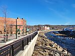
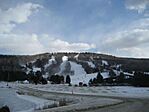
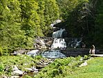
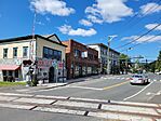
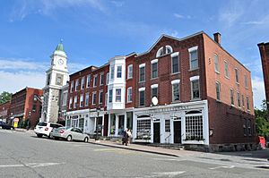
From top left: Naugatuck River in Torrington, Mohawk Mountain Ski Area, Kent Falls State Park, Main Street in North Canaan, West Street in Litchfield
|
||
|
||
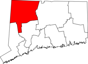
Location within the U.S. state of Connecticut
|
||
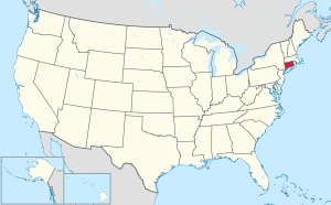 Connecticut's location within the U.S. |
||
| Country | ||
| State | ||
| Founded | 2013 | |
| Largest city | Torrington | |
| Other cities | Winsted | |
| Area | ||
| • Total | 786.6 sq mi (2,037 km2) | |
| Population
(2020)
|
||
| • Total | 112,503 | |
| Time zone | UTC−5 (Eastern) | |
| • Summer (DST) | UTC−4 (EDT) | |
| Congressional districts | 1st, 5th | |
Contents
About the Northwest Hills Region
The Northwest Hills Planning Region covers a large area of 786.6 square miles. It is home to many people and different communities. The biggest city in this region is Torrington. Another important city is Winsted.
The Northwest Hills Council of Governments (NHCOG) was started in 2013. Its main job is to help the towns in the region work together. They plan for things like transportation, land use, and economic growth. This helps all the communities in the region thrive.
Population of the Region
| Historical population | |||
|---|---|---|---|
| Census | Pop. | %± | |
| 2020 | 112,503 | — | |
| 2022 (est.) | 113,234 | ||
| U.S. Decennial Census | |||
Understanding the demographics means looking at the people who live in an area. This includes how many people there are. According to the 2020 United States census, about 112,503 people lived in the Northwest Hills Planning Region.
The census is like a big count of everyone in the country. It happens every ten years. This helps us understand how communities are growing and changing over time.
Towns and Cities in the Region
The Northwest Hills Planning Region includes many different towns and cities. These are called municipalities. They all work together as part of the region.
Cities
- Torrington
- Winsted (which is also part of the town of Winchester)
Towns
 | Leon Lynch |
 | Milton P. Webster |
 | Ferdinand Smith |


