Perthshire facts for kids
| Perthshire | |
| Motto: Pro Lege et Libertate ('For Law and Liberty') |
|
 Perthshire within Scotland |
|
| Geography | |
| Status | Local government county (until 1975) Land registration county (1996–) |
| 1975 area | 2,528 sq mi (6,550 km2) (5th) |
| HQ | Perth (county town and administrative centre) |
| Chapman code | PER |
| History | |
| Succeeded by | Tayside Region |
Quick facts for kids Politics |
|
|---|---|
| Governance | County: Perthshire County Council (1890–1929) Perth and Kinross County Council (1929–1975) Modern: Perth and Kinross Council (1996–) Lieutenancy: Lord Lieutenant of Perth and Kinross |
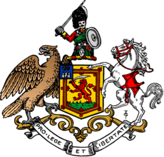 Coat of arms of the county council |
|
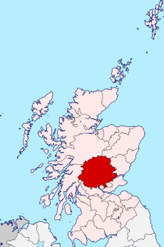
Perthshire, also known as the County of Perth, is a special area in central Scotland. It's called a "historic county" because it has a long history, and a "registration county" because it's still used for things like land records.
Perthshire stretches from a flat area called Strathmore in the east to high mountains in the north and west. It shares borders with many other counties in Scotland. People sometimes call it "the big county" or "the Shire" because it's one of the largest historic counties in Scotland. You can find all sorts of landscapes here, from rich farming lands to tall mountains in the Highlands.
Contents
How Perthshire Was Governed
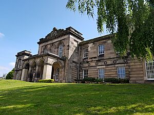
Perthshire was managed by its own council from 1890 to 1975. This council, called Perthshire County Council, first met in the Perth Sheriff Court. Later, in 1930, it joined with the nearby small county of Kinross-shire to form a combined council. Their main office was then at the County Offices in Perth.
In 1975, the way local government worked in Scotland changed. Perthshire was split up and became part of two new larger areas: the Central and Tayside Regions.
- Some western parts of Perthshire, like Callander and Aberfoyle, became part of the Stirling District in the Central Region.
- The area around Muckhart joined the Clackmannan District, also in the Central Region.
- A small part, Longforgan, went to the City of Dundee District in the Tayside Region.
- Most of the rest of Perthshire joined with Kinross-shire to create the Perth and Kinross District Council in Tayside.
Then, in 1996, there was another big change. The districts became single, independent council areas. Most of historic Perthshire is now part of the Perth and Kinross council area. Some smaller parts are in the Stirling and Clackmannanshire council areas.
Changing Borders
Before the 1890s, Perthshire's borders were a bit messy. Some parts of the county were completely separate from the main area, like small islands of land. For example, the parishes of Culross and Tulliallan were located far away, surrounded by other counties.
To make things simpler, a special group decided to move these separate areas. Culross and Tulliallan were moved to Fife, and another area called Logie became part of Stirlingshire.
Perthshire's Coat of Arms
The coat of arms for Perthshire was created around 1800. It was given to the county by the Earl of Kinnoull, who was from Perthshire and also in charge of the official heraldry in Scotland.
The shield on the coat of arms looks a lot like the Scottish royal arms. This shows that Perthshire was an important place for Scottish kings and queens, as it was home to the old royal capital, Scone. The top part of the shield even shows Scone Palace with the Crown of Scotland on it.
The crest (the part above the shield) shows a Highland soldier. This is a nod to the famous Black Watch army regiment, which was formed in Perthshire. The animals supporting the shield are an eagle and a warhorse. The eagle comes from the coat of arms of the city of Perth.
Towns and Burghs
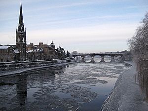
In the 1890s, Perthshire had several important towns, called "burghs," that had their own local governments. The largest was the Royal Burgh of Perth, which was even called a city. Other towns included Auchterarder, Aberfeldy, and Blairgowrie.
In 1930, burghs were divided into two types: "large burghs" and "small burghs." Only Perth became a large burgh, meaning it had more power. The other towns became small burghs, with fewer responsibilities. Later, in 1947, Pitlochry also became a small burgh.
Local Divisions
The county was also divided into smaller areas called "civil parishes." These were used for local administration. In 1930, these parishes were grouped into five larger "districts" to help manage the county:
- Central District
- Eastern District
- Highland District
- Perth District
- Western District
Perthshire's Geography
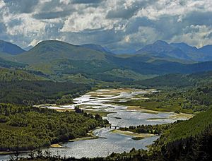
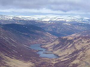
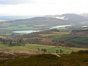
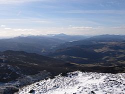
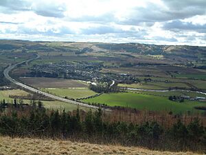
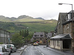
Perthshire is mostly a mountainous and hilly area, part of the Grampian Mountains. It's filled with many beautiful lochs (lakes) and glens (valleys). The highest point is Ben Lawers, which stands at 1,214 meters (3,983 feet) tall, making it one of Scotland's highest peaks.
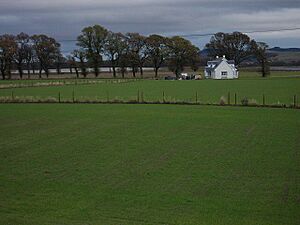
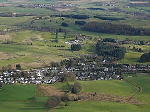
Most of Perthshire's towns are small. The larger ones are found in the flatter southeast part of the county. In the south, you'll find the Ochil Hills, and part of the Sidlaw Hills also stretches into Perthshire. The county also touches the Firth of Tay in the southeast, which leads out to the North Sea. Along the northern shore of the Firth of Tay is the Carse of Gowrie, a very flat area used for farming.
Rivers of Perthshire
Perthshire is home to many important rivers that flow through its glens and valleys:
Lochs and Reservoirs
Perthshire has many beautiful lochs (lakes) and reservoirs (man-made lakes). Some of the most well-known include:
Mountains of Perthshire
The county is famous for its impressive mountains, which are part of the Scottish Highlands:
- Ben Lawers (the highest point)
- Ben Vorlich
- Ben Vrackie
- Schiehallion
Glens and Straths (Valleys)
Perthshire is also known for its many glens (narrow valleys) and straths (wider valleys), often carved by rivers:
- Glen Almond
- Glen Lyon
- Glen Shee
- Strath Tay
- Strath Earn
Towns and Villages
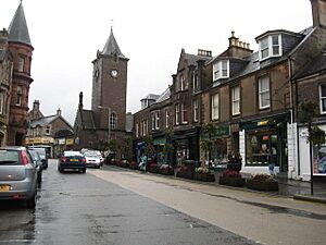
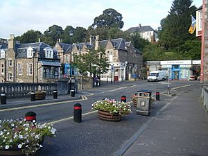
Perthshire has many towns and villages, each with its own character. The largest town is Perth. Other notable places include:
- Aberfeldy
- Auchterarder
- Blairgowrie
- Callander
- Coupar Angus
- Crieff
- Doune
- Dunblane
- Dunkeld
- Pitlochry
- Scone
Getting Around: Transport
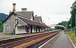
Perthshire is connected by important railway lines. The Highland Main Line links Perth to Inverness in the north. In the far west, the West Highland Line crosses the border with Argyllshire. There are also train lines in the southeast that connect Perth to towns in Fife and Stirlingshire.
Parliamentary Representation
Since 1708, Perthshire has sent representatives to the House of Commons in the Parliament of the United Kingdom.
From 1708 to 1885, the town of Perth had its own representative, while the rest of the county shared one. After 1885, Perthshire was given three seats in Parliament.
In 1918, Perthshire and Kinross-shire were combined for parliamentary purposes and divided into two areas:
- The Perth constituency (later called Perth and East Perthshire) included the city of Perth and the eastern parts of the county.
- The Kinross and Western Perthshire constituency covered Kinross-shire and the western and highland parts of Perthshire.
These areas were used until 1983. Today, Perthshire is mainly covered by two constituencies, each with its own Member of Parliament:
- Ochil and South Perthshire
- Perth and North Perthshire
Famous Places to Visit
Perthshire is home to many interesting and historic sites:
- Blair Castle: A grand castle with a long history.
- Dunkeld Cathedral: A beautiful old cathedral.
- Gleneagles Hotel: A famous luxury hotel and golf resort.
- Scone Palace: The historic crowning place of Scottish kings.
- The Hermitage: A beautiful woodland walk with waterfalls.
- Birnam Wood and Dunsinane Hill: Places made famous in Shakespeare's play Macbeth.
Notable People from Perthshire
Many well-known people have come from Perthshire, including:
- Alan Cumming: A famous actor.
- David Douglas: A botanist who explored North America and has a tree named after him (the Douglas fir).
- Niel Gow: A famous traditional Scottish fiddler.
- Stephen Hendry: A world champion snooker player.
- Ewan McGregor: A well-known actor.
- J. K. Rowling: The author of the Harry Potter books.
- Rory Stewart: A politician and writer.
- Robert Stirling: The inventor of the Stirling engine.
Schools in Perthshire
Perthshire has a variety of schools, both public and private:
- Blairgowrie High School
- Breadalbane Academy
- Glenalmond College
- Morrison's Academy
- Perth Academy
- Perth Grammar School
- Perth High School
- Strathallan School
|
See also
 In Spanish: Perthshire para niños
 | Chris Smalls |
 | Fred Hampton |
 | Ralph Abernathy |


