
Image: NZ-Northland plain map2
No higher resolution available.
NZ-Northland_plain_map2.png (378 × 423 pixels, file size: 12 KB, MIME type: image/png)
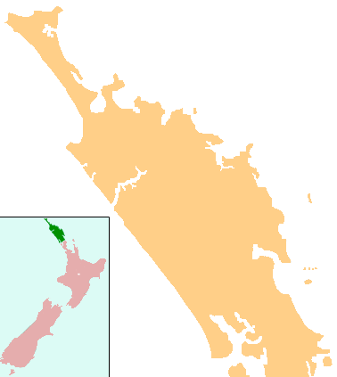
Description: Locator map for Northland, New Zealand
Title: NZ-Northland plain map2
Credit: combination of Image:NZ-NI plain map.png and Image:Position of Northland.png
Author: Grutness, based on work by User:Gadfium
Permission: public domain. Copied from en:Image:NZ-Northland plain map2.png
Usage Terms: Public domain
License: Public domain
Attribution Required?: No
Image usage
The following 61 pages link to this image:
- Aranga, New Zealand
- Arapohue
- Bream Bay
- Brynderwyn Range
- Bulrush Lake (Northland)
- Dargaville
- Half Mile Lagoon
- Kaihu
- Kaikohe-Bay of Islands volcanic field
- Kaikohe Aerodrome
- Kaikohe Hill
- Kaitaia Airport
- Kaiwaka
- Kauri Museum
- Kerikeri Airport
- Kokopu, New Zealand
- Lake Heather
- Lake Kaiiwi
- Lake Kihona
- Lake Morehurehu
- Lake Ngakapua
- Lake Ngakeketa
- Lake Ngatu
- Lake Rotokawau (Aupouri Peninsula)
- Lake Rotokawau (Karikari Peninsula)
- Lake Rotopokaka
- Lake Taharoa
- Lake Te Kahika
- Lake Waimimiha
- Lake Waiparera
- Lake Waiporohita
- Lake Ōmāpere
- Mangamuka
- Mangawhai
- Matakohe
- Maungaturoto
- Mount Manaia
- Ngawha Springs
- Omanaia
- Onerahi Causeway
- Oromahoe
- Pakotai
- Paparoa
- Pipiwai
- Poroti
- Pouto Peninsula
- Purua
- Ruawai
- Tangiteroria
- Tangowahine
- Tauraroa
- Te Kōpuru
- Tinopai
- Titoki, New Zealand
- Umawera
- Waiotira
- Whananaki
- Whangape Harbour
- Whangarei Airport
- Whangaroa Harbour
- Whangārei

All content from Kiddle encyclopedia articles (including the article images and facts) can be freely used under Attribution-ShareAlike license, unless stated otherwise.