
Image: Cambridgeshire UK location map

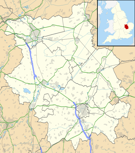
Description: Map of Cambridgeshire, UK with the following information shown: Administrative borders Coastline, lakes and rivers Roads and railways Urban areas Equirectangular map projection on WGS 84 datum, with N/S stretched 160% Geographic limits: West: 0.53W East: 0.55E North: 52.75N South: 51.99N
Title: Cambridgeshire UK location map
Credit: Ordnance Survey OpenData. Administrative borders and coastline data from Boundary-Line product. All other geographic data from Meridian 2 product. Inset derived from England location map.svg by Spischot.
Author: Nilfanion, created using Ordnance Survey data
Permission: This file is licensed under the Creative Commons Attribution-Share Alike 3.0 Unported license. Attribution: Contains Ordnance Survey data © Crown copyright and database right You are free: to share – to copy, distribute and transmit the work to remix – to adapt the work Under the following conditions: attribution – You must attribute the work in the manner specified by the author or licensor (but not in any way that suggests that they endorse you or your use of the work). share alike – If you alter, transform, or build upon this work, you may distribute the resulting work only under the same or similar license to this one. http://creativecommons.org/licenses/by-sa/3.0 CC BY-SA 3.0 Creative Commons Attribution-Share Alike 3.0 truetrue
Usage Terms: Creative Commons Attribution-Share Alike 3.0
License: CC BY-SA 3.0
License Link: http://creativecommons.org/licenses/by-sa/3.0
Attribution Required?: Yes
Image usage
The following 77 pages link to this image:
- Alconbury
- Arrington
- Bainton, Cambridgeshire
- Bar Hill
- Bartlow
- Bretton, Peterborough
- Burnt Fen
- Burwell Castle
- Cambourne
- Cambridge Blackfriars
- Cambridge Castle
- Castor, Cambridgeshire
- Chatteris
- Cheveley Castle
- Comberton
- Conington, Huntingdonshire
- Dogsthorpe, Peterborough
- Duxford
- Elm, Cambridgeshire
- Elton Hall
- Ely, Cambridgeshire
- Etton, Cambridgeshire
- Eye, Cambridgeshire
- Fen Drayton
- Fengate, Peterborough
- Fletton
- Ford Wood
- Gamlingay
- Gault Wood
- Godmanchester
- Graveley, Cambridgeshire
- Great Chishill
- Hampton, Peterborough
- Hilton, Cambridgeshire
- Huntingdon
- Ickleton Priory
- Kimbolton Castle
- Kirtling Tower
- Littleport
- Longthorpe, Peterborough
- Longthorpe Tower
- March, Cambridgeshire
- Maxey Castle
- Melbourn
- Mepal
- Milton, Cambridgeshire
- New Connexions Free Church, Ely
- Northborough, Cambridgeshire
- Orton, Peterborough
- Our Lady & Saint Charles Borromeo Church
- Parish Church of St Peter and St Paul, Wisbech
- Paston, Peterborough
- Peterborough Castle
- RAF Bassingbourn
- RAF Waterbeach
- RAF Wyton
- Ramsey, Cambridgeshire
- Shepreth
- Soham
- Somersham
- St Ives, Cambridgeshire
- St John's Church, Little Gidding
- St Mary's Street drill hall, Huntingdon
- St Neots
- St Olga Ukrainian Catholic Church
- St Peter-in-Ely
- Sutton, Peterborough
- Swaffham Prior
- Thorney Abbey
- Thriplow
- Trumpington bed burial
- Whittlesey
- Wisbech
- Woodcroft Castle
- Woodston, Peterborough
- Yaxley, Cambridgeshire
- Template:Location map United Kingdom Cambridgeshire
