New Southgate facts for kids
Quick facts for kids New Southgate |
|
|---|---|
 Betstyle Circus |
|
| OS grid reference | TQ286922 |
| London borough | |
| Ceremonial county | Greater London |
| Region | |
| Country | England |
| Sovereign state | United Kingdom |
| Post town | LONDON |
| Postcode district | N11 |
| Dialling code | 020 |
| Police | Metropolitan |
| Fire | London |
| Ambulance | London |
| EU Parliament | London |
| UK Parliament |
|
| London Assembly |
|
New Southgate is a lively residential area in North London, England. It sits across three different parts of London: a small piece of Barnet, a bit of Enfield, and a small corner of Haringey. It's a place where different neighborhoods, like Bounds Green, meet.
The name "New Southgate" became popular around 1873. Before that, this area was known as Colney Hatch. However, from 1851, Colney Hatch became strongly linked to a large hospital built there called the Colney Hatch Lunatic Asylum. People started using "New Southgate" more to create a fresh identity for the area, separate from the hospital's old name. Even the local train station, New Southgate railway station, changed its name many times to reflect this shift. The hospital closed in 1993, and its land is now home to two housing areas: Princess Park Manor and Friern Village.
Contents
Exploring New Southgate: Parks and Homes
New Southgate is mostly a low-rise area, meaning buildings are not very tall. It has many parks, playgrounds, and schools. Most homes here have gardens, which helps keep the population spread out. The area crosses three London boroughs: Barnet, Enfield, and Haringey. It's often seen as a part of Southgate and is included in an election area called Southgate Green.
Understanding the N11 Postcode
The postcode for New Southgate is N11. This postcode area also covers parts of nearby Arnos Grove, Bounds Green, and Friern Barnet. The number "11" comes from the main post office for this area being in New Southgate.
A Glimpse into New Southgate's Past
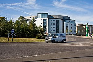
The name "New Southgate" first appeared in the 1850s. Before that, much of this area was a small village called Betstile. It was centered around a crossroads where Betstile House and Betstile Lodge stood. Today, you can still find "Betstyle Road" and "Betstyle Circus," keeping the old name alive.
The northern and eastern parts of Betstile became part of the Municipal Borough of Southgate in 1881. Southgate itself had grown from smaller villages within the parish of Edmonton. A church, Christ Church, Southgate, was built in Southgate in 1862, serving the growing number of homes, including those around Betstile.
The Story of Colney Hatch
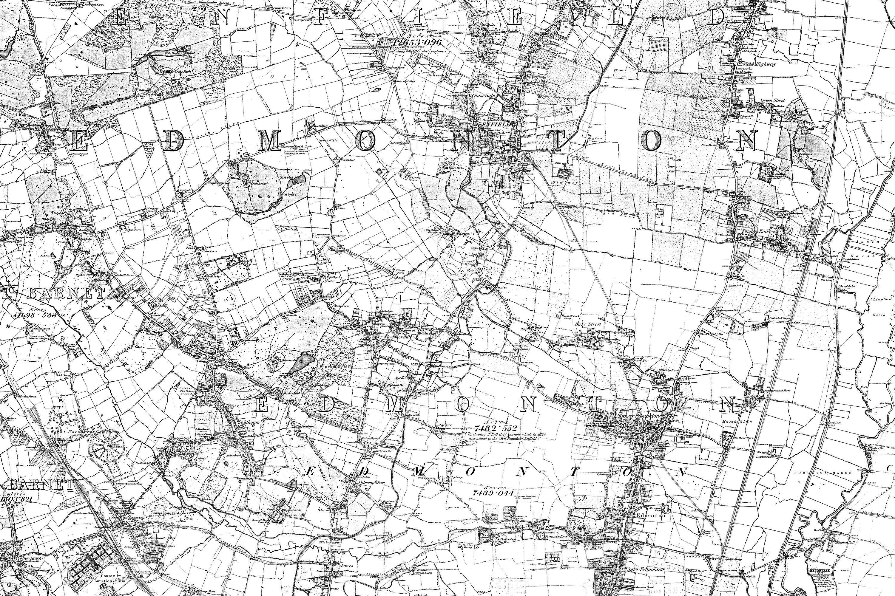
The western parts of New Southgate were known as Colney Hatch for a long time, from 1409 until the 20th century. This area didn't change much until a large hospital was built. In 1882, Colney Hatch was described as a small village that grew to support the hospital staff.
However, after 1851, the name Colney Hatch slowly started to disappear from schools and churches. Residents wanted to distance themselves from the social stigma linked to the large mental health hospital, the Colney Hatch Lunatic Asylum. This huge hospital treated people with mental health conditions for many decades.
Even though the name Colney Hatch was used on official maps, people preferred "New Southgate" for new developments. This new name became more and more popular.
Friern Hospital: From Care to Homes
A large part of the land in New Southgate was used for the second county hospital for mental health care in Middlesex. This hospital, later known as Friern Hospital, closed in 1993. The site was then redeveloped into two housing estates: Princess Park Manor and Friern Village.
Local Churches in New Southgate
The first Anglican church in New Southgate is St Paul's Church, New Southgate. It started in 1870 as a mission to the new Colney Hatch area. In 1873, it became its own church parish. The church was built in 1873 and was designed by George Gilbert Scott. It was damaged during World War II but was later repaired.
In 1910, another church, the Baptist United Reform church, Christ Church New Southgate & Friern Barnet, was built. The Catholic Church, Our Lady of Lourdes, was built in the mid-20th century.
Famous Faces from New Southgate
New Southgate was once home to some well-known people:
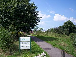
- Jerome K Jerome: He was a famous writer, best known for his funny book Three Men in a Boat. He lived on Springfield Road. You can find a statue of a boat and a mosaic of a dog on the New Southgate Millennium Green to remember him.
- Gerald Massey: A poet and a leader in the Chartist movement, which fought for workers' rights. He lived on Grove Road, and a nearby street, Massey Close, is named after him.
Getting Around New Southgate: Transport Links
New Southgate has good transport connections, making it easy to travel to other parts of London and beyond.
Train and Bus Connections
New Southgate railway station is located on Station Road. It's served by Great Northern and Thameslink trains. These trains connect the area to places north in Hertfordshire, like Potter's Bar and Welwyn Garden City. Southbound trains go towards King's Cross or Moorgate in the City. The station was built in 1851 and has changed names several times.
Arnos Grove is the closest underground station, on the Piccadilly line. This line also goes south towards Finsbury Park and King's Cross. Trains then continue to the West End, West London, and even Heathrow Airport.
Many London Buses routes pass through New Southgate, including routes 34, 184, 221, 232, 251, 298, 382, and SL1. Route 34 runs all night on Friday and Saturday. The Night bus route N91 runs nightly between Cockfosters and Trafalgar Square.
There are plans for a new train line called Crossrail 2 to end at New Southgate, if the project goes ahead.
Road Travel
The A406 North Circular Road runs along the southern edge of New Southgate. This major road connects the area directly to motorways like the M1, M11, and M4. It also links to other important areas in London such as Chiswick and Wembley. This part of the A406 can get very busy, with drivers sometimes spending many hours stuck in traffic each year.
Other main roads include the A109 (running north-south), the A1003 (going west), and the A1110 (going east).
Walking and Cycling Paths
There's a special two-way cycle track next to the North Circular Road for cyclists. It's separated from the traffic, making it safer for riding.
A shared path for both cyclists and walkers goes north from New Southgate to East Barnet through Brunswick Park. This path is called the Waterfall Walk and is part of the Pymmes Brook Trail. Another similar path goes south through Arnos Park, also following the Pymmes Brook.
 |
Brunswick Park | Osidge | Southgate |  |
| Friern Barnet | Arnos Grove | |||
| North Finchley | Bounds Green | Bounds Green |
 | Lonnie Johnson |
 | Granville Woods |
 | Lewis Howard Latimer |
 | James West |


