List of cartographers facts for kids
Cartography is the study of making maps, and cartographers are the people who create these maps. Maps help us understand the world, showing us where places are, how to get there, and even what the land looks like. From ancient times to today, mapmakers have used different tools and techniques to draw the world around them.
Contents
- Early Mapmakers (Before 1400)
- The 15th Century: A Time of Exploration
- The 16th Century: New Maps for a Bigger World
- The 17th Century: Detailed and Decorative Maps
- The 18th Century: Scientific Surveys and National Maps
- The 19th Century: Modern Mapping and Atlases
- The 20th Century: Technology and New Perspectives
- See also
Early Mapmakers (Before 1400)
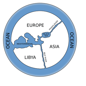
Long ago, people started drawing maps to show where they lived and where they traveled. One of the very first known mapmakers was Anaximander from ancient Greece (around 610-546 BC). He tried to draw a map of the entire known world.
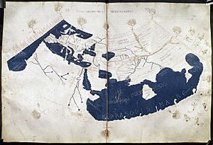
Later, Eratosthenes (276-194 BC) from Egypt was a Greek scientist who calculated the Earth's size quite accurately. Another important Greek mapmaker was Ptolemy (around 85-165 CE), also from Egypt. His detailed maps and ideas about geography were used for over a thousand years!
In China, mapmaking also grew. Pei Xiu (224–271 CE) was a famous Chinese geographer and cartographer. Later, Shen Kuo (1031–1095) created a huge atlas of China and even made a 3D map of the land.
During the Middle Ages, Arab scholars like al-Idrisi (1100–1166) in Sicily made very detailed world maps. In Europe, mapmakers like Pietro Vesconte (early 1300s) started creating "portolan charts." These were special maps used by sailors to navigate the Mediterranean Sea.
The 15th Century: A Time of Exploration
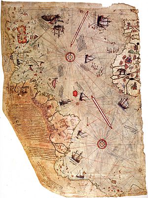
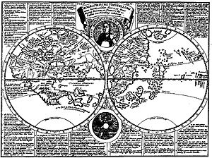
The 15th century was a time of great exploration, and mapmakers were more important than ever! As explorers sailed to new lands, cartographers worked hard to update maps.
One key event was the translation of Ptolemy's ancient maps into Latin by Jacobus Angelus around 1406. This helped European mapmakers learn from old knowledge.
Martin Behaim from Germany created one of the oldest surviving globes in 1492. This globe showed the world as people understood it just before Christopher Columbus's famous voyage.
Another important figure was Piri Reis (1465–1554/1555) from the Ottoman Empire. He created a detailed world map that included parts of the Americas, based on various older maps and new discoveries.
Explorers like Amerigo Vespucci (1454–1512) also contributed to mapmaking by recording their journeys. Martin Waldseemüller (around 1470–1522) from Germany created a world map in 1507 that was the first to use the name "America" for the new continent.
The 16th Century: New Maps for a Bigger World
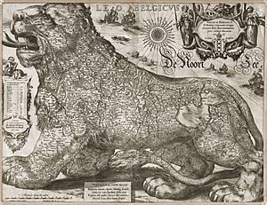
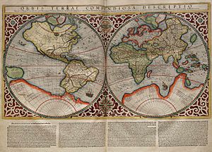
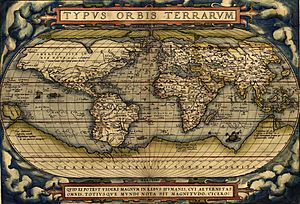
The 16th century saw huge advancements in mapmaking as more of the world was explored. This was when maps started to look more like the ones we know today.
Gerardus Mercator (1512–1594) from the Netherlands was one of the most famous mapmakers of this time. He invented the "Mercator projection," a way to draw the Earth on a flat map that was very useful for sailors. It showed true directions, which was a big help for navigation.
Another Dutch mapmaker, Abraham Ortelius (1527–1598), is known for creating the first modern atlas. An atlas is a collection of maps in a book. His "Theatrum Orbis Terrarum" (meaning "Theater of the World") was published in 1570 and was a huge success.
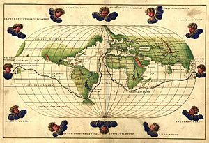
Other notable mapmakers included Battista Agnese (around 1500–1564), who made many beautiful nautical atlases for sailors. Jodocus Hondius (1563–1612) was another important Dutch cartographer who published many maps and atlases.
The 17th Century: Detailed and Decorative Maps
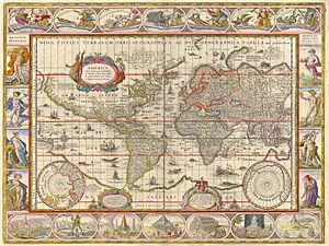
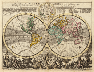
In the 17th century, mapmaking became even more detailed and artistic. Dutch mapmakers, like the Blaeu family, were especially famous for their beautiful and accurate maps.
Willem Blaeu (1571–1638) and his son Johannes Blaeu (1596–1673) created stunning atlases with colorful illustrations. They were the official mapmakers for the Dutch East India Company, a powerful trading company.
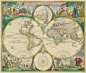
Other important mapmakers included Frederik de Wit (1610/16–1698) and Johannes Janssonius (1588–1664), who also produced many detailed maps and atlases.
Herman Moll (1654–1732), who was likely German but worked in England, became known for his maps that often included interesting facts and illustrations about trade routes and natural features.
The 18th Century: Scientific Surveys and National Maps
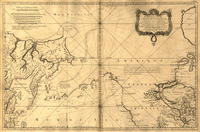

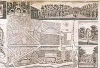
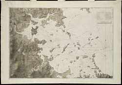
The 18th century brought more scientific methods to mapmaking. Governments began to create detailed national surveys to map their own countries.
James Cook (1728–1779), a famous British naval captain, was also a skilled mapmaker. He created very accurate charts of places like New Zealand and Australia during his voyages.
In France, the Cassini family, including Giovanni Cassini (1625–1712) and his descendants, worked for generations to create the first detailed, large-scale map of France. This was a huge project that took many years.
Jacques-Nicolas Bellin (1703–1772) was the chief mapmaker for the French navy. He produced many important nautical charts that helped sailors navigate safely.
In the United States, George Washington (1732–1799), who became the first president, was also a skilled surveyor and mapmaker in his early career. Joseph Frederick Wallet DesBarres (1721–1824) created the "Atlantic Neptune," a collection of charts of the North American coast that was vital for navigation.
The 19th Century: Modern Mapping and Atlases
The 19th century saw maps become even more common and detailed, with new ways to print them. Atlases became popular for schools and homes.
John Bartholomew the elder (1805–1861) from Scotland was part of a famous family of cartographers who created many maps and atlases.
Matthew Fontaine Maury (1806–1873), a U.S. Navy officer, was a pioneer in oceanography and meteorology. He created important charts of ocean currents and winds that helped ships travel faster.
Thaddeus Mortimer Fowler (1842–1922) was known for his "pictorial maps" of American cities, which showed buildings and features in a more artistic way.
Nain Singh Rawat (1830–1882) was an Indian explorer and mapmaker who secretly mapped parts of Tibet and the Himalayas for the British. His work was incredibly brave and important for understanding those remote regions.
The 20th Century: Technology and New Perspectives
The 20th century brought huge changes to mapmaking with new technologies like aerial photography, satellites, and computers.
Arthur H. Robinson (1915–2004) was an American cartographer who developed the "Robinson projection" in 1961. This way of drawing the world on a flat map is often used today because it looks balanced and pleasing.
Marie Tharp (1920–2006) was an American oceanographic cartographer. She worked with Bruce Heezen to create the first scientific map of the ocean floor. Her work helped prove the idea of continental drift.
Other important cartographers of this era include Jacques Bertin (1918–2010), who studied how to best show information on maps, and Cynthia Brewer (1957– ), who developed ColorBrewer, a tool that helps mapmakers choose good colors for their maps.
In the late 20th century, computers changed mapmaking forever. Today, many maps are created digitally using Geographic Information Systems (GIS) and satellite images.
|
See also
- History of cartography
- List of geographers
- Ancient world maps
- Russian cartographers
- Category:Cartography organizations
- Category:Historians of cartography
 | Bessie Coleman |
 | Spann Watson |
 | Jill E. Brown |
 | Sherman W. White |


