National Register of Historic Places listings in Arkansas County, Arkansas facts for kids
Have you ever heard of the National Register of Historic Places? It's like a special list of important buildings, places, and objects in the United States that are worth saving because of their history. These places tell us stories about the past!
This article is a list of all the cool historic places in Arkansas County, Arkansas, that are on this special list. There are 26 of them! Two of these are even more important and are called National Historic Landmarks. You can see where some of these places are on a map if you look at their coordinates.
Contents
Historic Places in Arkansas County
Arkansas County is full of interesting spots that have played a big part in history. Let's explore some of them!
Arkansas Post National Memorial
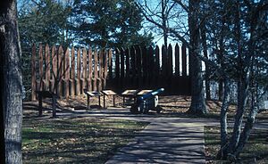
One of the most important places in Arkansas County is the Arkansas Post National Memorial. It's located about 8 miles southeast of Gillett. This spot is super special because it was the very first European settlement in the lower Mississippi River Valley. It was established way back in 1686 by Henri de Tonti! Over the years, it was a trading post, a military fort, and even the first capital of the Arkansas Territory. It's a National Historic Landmark, which means it's recognized as one of the most important historic places in the entire country.
Menard-Hodges Mounds
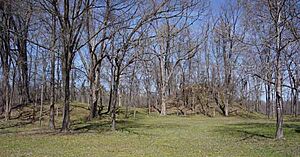
Another amazing National Historic Landmark in Arkansas County is the Menard-Hodges Mounds (3AR4). These mounds are ancient earthworks built by Native American people long ago. They are located near Nady and are now part of the Arkansas Post National Memorial. These mounds give us clues about the people who lived here thousands of years ago and how they built their communities.
Courthouses of Arkansas County
Arkansas County has two courthouses on the National Register of Historic Places, one for its northern district and one for its southern district.
Northern District Courthouse in Stuttgart
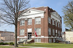
The Arkansas County Courthouse-Northern District is in Stuttgart. It's a beautiful building that has served the community for many years. Courthouses are important because they are where local laws are made and justice is served.
Southern District Courthouse in De Witt
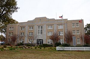
The Arkansas County Courthouse-Southern District is located in De Witt. Just like its northern counterpart, this courthouse has been a central part of the community's legal and civic life for a long time.
Historic Buildings in DeWitt
The town of DeWitt has several buildings listed on the National Register, showing its rich history.
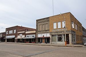
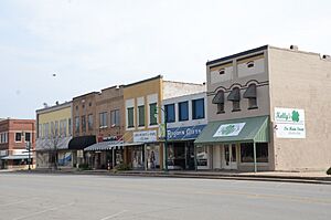
DeWitt Commercial Historic District
The DeWitt Commercial Historic District includes a whole area of historic buildings in downtown DeWitt. This district gives us a peek into what the town looked like when it was first growing and developing. Many of these buildings were shops and businesses.
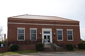
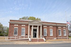
DeWitt Post Office
The DeWitt Post Office is another historic building in DeWitt. Post offices have always been important places for communities to connect and send messages. This building has a unique design that makes it special.
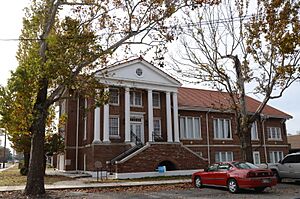
First United Methodist Church
The First United Methodist Church (DeWitt, Arkansas) in DeWitt is a beautiful church building. Churches often serve as important community centers, and this one has been a place of worship and gathering for many years.
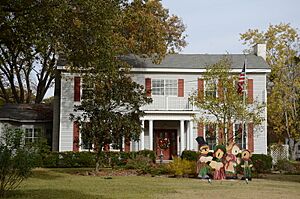
Halliburton House
The Halliburton House (DeWitt, Arkansas) is a historic home in DeWitt. Old houses like this one can tell us a lot about how people lived in the past and the different styles of architecture they used.
L.A. Black Rice Milling Association Inc. Office
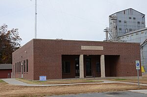
The L.A. Black Rice Milling Association Inc. Office in DeWitt is a reminder of Arkansas's important rice industry. This building was likely where a lot of the business for rice farming and milling was handled.
Bridges of DeWitt
DeWitt also has several historic bridges that are on the National Register. Bridges are important for connecting communities and allowing people and goods to travel.
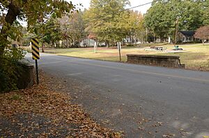
- Maxwell Street Bridge: This bridge crosses Holt Branch and is an example of early bridge construction.
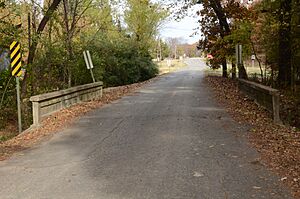
- North Jackson Street Bridge: Another bridge over Holt Branch, showing the engineering of its time.
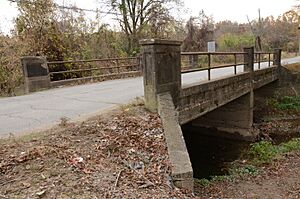
- North Washington Street Bridge: Also crossing Holt Branch, this bridge completes the trio of historic bridges in DeWitt.
Historic Places in Stuttgart
Stuttgart, known as the "Rice and Duck Capital of the World," also has several historic listings.
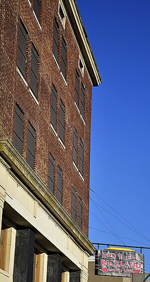
Riceland Hotel
The Riceland Hotel in Stuttgart is a historic hotel that once welcomed travelers and visitors to the city. Hotels like this were important gathering places and symbols of a town's growth.
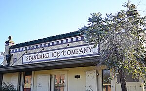
Standard Ice Company Building
The Standard Ice Company Building in Stuttgart is a cool historic building. Ice companies were very important before refrigerators were common, helping people keep food fresh.
Stuttgart Commercial Historic District
Similar to DeWitt, Stuttgart has its own Stuttgart Commercial Historic District. This area includes many historic buildings that were once bustling businesses and shops, showing the city's commercial past.
US Post Office-Stuttgart
The US Post Office-Stuttgart is another example of a historic post office building. It served the community of Stuttgart for many years, helping people send and receive mail.
Other Notable Historic Sites
A.M. Bohnert Rice Plantation Pump #2 Engine
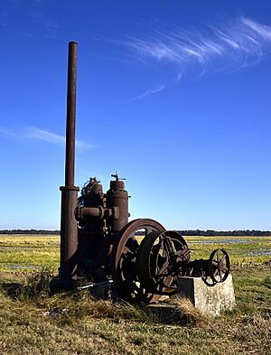
Near Gillett, you can find the A.M. Bohnert Rice Plantation Pump #2 Engine. This old engine was used to pump water for rice fields, showing how important rice farming has been to Arkansas County's economy.
Crocketts Bluff Hunting Lodge
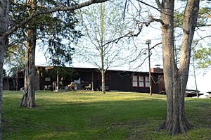
The Crocketts Bluff Hunting Lodge is located in Crocketts Bluff. This lodge was likely a popular spot for hunters, reflecting the area's natural beauty and wildlife.
Immanuel High School
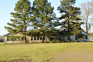
Immanuel High School-AR0280 in Almyra is a historic school building. Schools are vital parts of any community, and this one played a role in educating students in the area.
Old Arkansas 11, Kauffman Road Segment
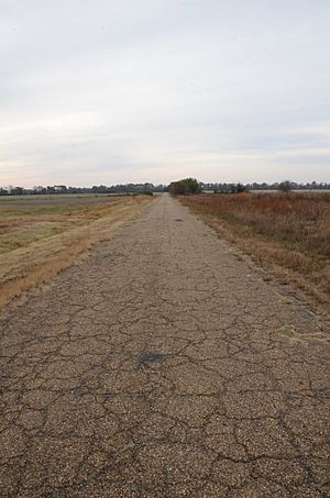
This section of Old Arkansas 11, Kauffman Road Segment near Stuttgart is a piece of an old highway. Roads are important for travel and trade, and this segment shows how transportation has changed over time.
Old Gillett Jail
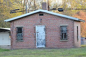
The Old Gillett Jail in Gillett is a historic building that once served as the town's jail. It's a reminder of the justice system and law enforcement in the past.
St. Charles Battle Monument
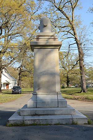
The St. Charles Battle Monument in St. Charles commemorates a Civil War battle. Monuments like this help us remember important historical events and the people involved.
St. Charles Battle Site
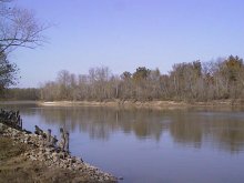
The St. Charles Battle Site is where the Battle of Saint Charles took place during the Civil War. This site is important for understanding the history of the Civil War in Arkansas.
Tichnor Rice Dryer and Storage Building
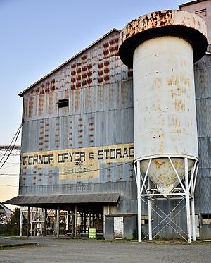
The Tichnor Rice Dryer and Storage Building in Tichnor is another building related to Arkansas's rice industry. It shows how rice was processed and stored after being harvested.
Images for kids


