
Image: Alt plate

Size of this PNG preview of this SVG file: 601 × 301 pixels. Other resolution: 320 × 160 pixels.
Original image (SVG file, nominally 601 × 301 pixels, file size: 4 KB)
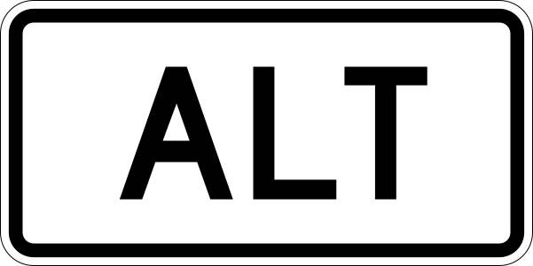
Description: 600 mm by 300 mm (24 in by 12 in) alt plate, made to the specifications of the 2004 edition of Standard Highway Signs (sign M4-1a). Uses the Roadgeek 2005 fonts. (United States law does not permit the copyrighting of typeface designs, and the fonts are meant to be copies of a U.S. Government-produced work anyway.) The outside border has a width of 1 (1 mm) and a color of black so it shows up; in reality, signs have no outside border.
Title: Alt plate
Credit: Own work
Author: Ltljltlj
Usage Terms: Public domain
License: Public domain
Attribution Required?: No
Image usage
The following 37 pages link to this image:
- 1964 state highway renumbering (Washington)
- Allegany County, Maryland
- Baltimore County, Maryland
- Broad River (Carolinas)
- Churchill County, Nevada
- Coweta County, Georgia
- Duval County, Florida
- Elko County, Nevada
- Frederick County, Maryland
- Garrett County, Maryland
- Hagerstown, Maryland
- Hernando County, Florida
- Interstate 80 in Nevada
- Jefferson County, Kentucky
- Lee County, Virginia
- Levy County, Florida
- List of numbered routes in Delaware
- Lyon County, Nevada
- Mineral County, Nevada
- Norton, Virginia
- Pasco County, Florida
- Petersburg, Virginia
- Pinellas County, Florida
- Prince George's County, Maryland
- Russell County, Virginia
- Seguin, Texas
- South Carolina Highway 61
- Taylor County, Florida
- Tennessee Valley
- Texas State Highway 99
- Tri-Cities, Tennessee
- U.S. Route 166
- U.S. Route 400
- U.S. Route 66 in Illinois
- Washington County, Virginia
- Washoe County, Nevada
- White Pine County, Nevada

All content from Kiddle encyclopedia articles (including the article images and facts) can be freely used under Attribution-ShareAlike license, unless stated otherwise.