List of local nature reserves in Somerset facts for kids
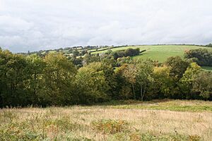
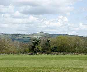
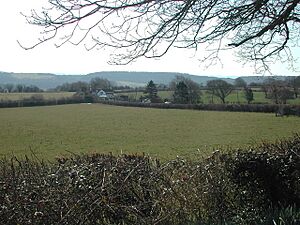
Somerset is a beautiful county in England, known for its green hills and lovely countryside. It's divided into different areas, some managed by Somerset County Council and others by their own councils, like North Somerset and Bath and North East Somerset. These areas work together to look after the land and its wildlife.
One important way they do this is by creating Local nature reserves (LNRs). These are special places chosen by local councils because they have unique plants, animals, or interesting geology. The councils make sure these areas are protected and cared for, often by owning or leasing the land. They can even make special rules (called bye-laws) to help keep these places safe for nature.
There are 40 Local Nature Reserves in Somerset, officially recognized by Natural England. These places range in size and offer homes to all sorts of creatures and plants. The smallest is Wellington Basins, which is tiny at about half a hectare (that's like a small park!). It has ponds, grass, and trees, perfect for birds like grey wagtails and dippers.
The biggest LNR is Weston Woods on Worlebury Hill, covering a huge 129.56 hectares (that's over 300 football fields!). This woodland is home to deer, badgers, foxes, and bats. You might also spot woodpeckers and buzzards flying overhead. Many of these LNRs are also "Sites of Special Scientific Interest" (SSSI), meaning they are extra important for their natural features. Local wildlife groups, like the Avon Wildlife Trust and Somerset Wildlife Trust, also help manage these amazing places.
Contents
- Somerset's Local Nature Reserves
- Ash Priors Common
- Berrow Dunes
- Bickenhall Orchard
- Bincombe Beeches
- Bucklands Pool/Backwell Lake
- Cadbury Hill/Henley Quarry
- Camerton Batch
- Carrs Woodland
- Chard Reservoir
- Cheddar Valley Railway Walk
- Children's Wood/Riverside
- Church and Wains Hill (Poets Walk)
- Eastfield, Sedgemoor Hill
- Eastwood and Battery Point
- Felton Common
- Folly Farm
- Frieze Hill Community Orchard
- Gadds Valley
- Hurstone Farm Woodlands
- Kensington Meadows
- Manor Road Community Woodland
- Middle Hill Common
- Moldrums Ground
- Netherclay Community Woodland
- Norton Hillfort
- Otterhead Lakes
- Screech Owl
- Silk Mills Park and Ride
- Silver Street
- Slader's Leigh
- South Taunton Streams (Mill, Galmington, Blackbrook 1&2)
- St George's Flower Bank
- Street Heath
- Swains
- Twerton Roundhill
- Uphill Hill
- Walborough Common
- Weirfield Riverside
- Wellington Basins
- Weston Woods
- See also
Somerset's Local Nature Reserves
Ash Priors Common
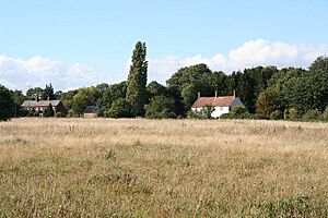
This large reserve covers 20.78 hectares and has different types of land, including grassy areas, woodlands, and ponds. You can find special plants like early marsh-orchids and twayblade orchids here. Animals like the eurasian harvest mouse, viviparous lizard, and tree pipit also live here. It was the first and is the biggest LNR managed by Taunton Deane Borough Council.
- Location: Ash Priors 51°03′10″N 3°12′38″W / 51.0527°N 3.2105°W ST152288
Berrow Dunes
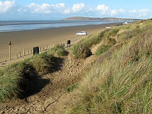
These dunes are located near the village of Berrow and are famous for unusual plants, especially a large group of lizard orchids. The area, including the reserve, is also a Site of Special Scientific Interest. Berrow Marsh, within the dunes, has reedbeds and salt marshes, attracting many wetland birds.
- Location: Berrow 51°16′39″N 3°00′57″W / 51.2776°N 3.0157°W ST292536
Bickenhall Orchard
This small reserve, 0.6 hectares, is an orchard filled with apple trees and mistletoe. The grassy areas beneath the trees are home to various herbs and orchids.
- Location: Bickenhall 50°57′37″N 3°00′16″W / 50.9603°N 3.0045°W ST295183
Bincombe Beeches
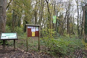
This 5.36-hectare site features beech trees that are up to 200 years old, along with oaks and hazels. It's a good spot for birdwatching, with blackbirds, woodpeckers, and jackdaws. Small mammals like badgers and foxes also live here.
- Location: Crewkerne 50°53′14″N 2°47′33″W / 50.8872°N 2.7925°W ST443100
Bucklands Pool/Backwell Lake
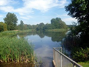
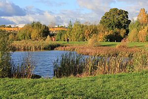
This 5.52-hectare lake was originally built in the 1970s to manage water levels, but it has become a fantastic place for wildlife. It attracts many birds, bats, and dragonflies. You might see gadwall, shoveler, grey heron, and mute swans here.
- Location: Backwell 51°25′18″N 2°45′10″W / 51.4216°N 2.7528°W ST477694
Cadbury Hill/Henley Quarry
This 20.84-hectare site has ancient woodlands, scrub, and natural grasslands. Interesting species include marsh tits, noctule bats, and slow worms. The northern slope is covered with hundreds of common spotted orchids. The Iron Age hill fort on the hill is known for its many ant hills, which green woodpeckers love to visit.
- Location: Yatton 51°22′54″N 2°48′14″W / 51.3817°N 2.8039°W ST441650
Camerton Batch
This 2.02-hectare site is a spoil heap from 19th-century coal mining. It's now covered with conifer trees and is important for its geology, showing us about the Earth's history.
- Location: Camerton 51°19′11″N 2°27′25″W / 51.3198°N 2.4570°W ST682579
Carrs Woodland
This 21.1-hectare woodland is in the valley of Newton Brook. You can find unique plants here, like the bath asparagus.
- Location: Twerton 51°23′05″N 2°24′26″W / 51.3847°N 2.4073°W ST717651
Chard Reservoir
This 37.05-hectare reservoir was built in 1842 for the Chard Canal. Now, it's a popular spot for fishing and birdwatching, with a special bird hide. Many birds like herons, egrets, kingfishers, and various ducks are seen here. It's also home to woodland birds like nuthatches and woodpeckers.
- Location: Chard 50°53′04″N 2°56′34″W / 50.8844°N 2.9428°W ST338098
Cheddar Valley Railway Walk
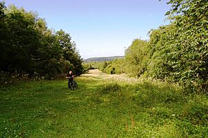
This 28.6-hectare linear reserve follows an old railway line. It's a great place for birds, bats, amphibians, and reptiles.
- Location: Yatton to Winscombe 51°20′44″N 2°50′00″W / 51.3456°N 2.8334°W ST420610
Children's Wood/Riverside
Located next to the River Tone, this 19.53-hectare reserve acts as a "wildlife corridor," helping animals move safely through the area. Kingfishers and grey wagtails are often seen here, and it's important for butterflies, dragonflies, and damselflies.
- Location: Taunton 51°01′31″N 3°04′48″W / 51.0252°N 3.0800°W ST243256
Church and Wains Hill (Poets Walk)
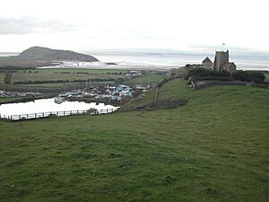
This 8.95-hectare reserve includes an Iron Age hill fort on Wain's Hill. It features grassy areas, coastal scrub, and woodlands.
- Location: Clevedon 51°25′57″N 2°52′21″W / 51.4325°N 2.8724°W ST394707
Eastfield, Sedgemoor Hill
This 7.42-hectare site is a grassland rich in orchids and butterflies.
- Location: High Ham 51°04′17″N 2°48′15″W / 51.0715°N 2.8042°W ST437305
Eastwood and Battery Point
This 11.68-hectare area features broadleaf woodland on a coastal limestone ridge. It leads to Battery Point, which has a historic gun position and the Portishead Point Lighthouse. The area is also interesting for its geology, with fossils and rock formations.
- Location: Portishead 51°29′40″N 2°46′01″W / 51.4944°N 2.7670°W ST468775
Felton Common
This 40.37-hectare common has open grassy areas with scrub and bracken. Birds like kestrels, sky larks, and song thrushes can be found here, along with many different invertebrates (bugs!).
- Location: Winford 51°23′00″N 2°41′41″W / 51.3833°N 2.6947°W ST517651
Folly Farm
Folly Farm is a large 98.49-hectare nature reserve run by the Avon Wildlife Trust. It has traditional farmland, beautiful flowery meadows, and woodlands. A highlight is the Folly Oak, which is over 400 years old!
- Location: Stowey 51°20′34″N 2°33′54″W / 51.3427°N 2.5649°W ST607605
Frieze Hill Community Orchard
This 1.39-hectare site was once allotments but has been turned into rough grassland and an orchard. It grows different kinds of apples, including the kingston black and yarlington mill varieties.
- Location: Taunton 51°01′26″N 3°07′17″W / 51.0239°N 3.1214°W ST214255
Gadds Valley
This 3.69-hectare reserve features open grassland and woodland.
- Location: Cheddon Fitzpaine 51°03′23″N 3°05′47″W / 51.0565°N 3.0965°W ST232291
Hurstone Farm Woodlands
These 9.78-hectare woodlands are located along the banks of the River Tone. The woods, hedgerows, and open grasslands provide a home for dormice, otters, and several types of bats.
- Location: Waterrow 51°00′55″N 3°21′03″W / 51.0152°N 3.3507°W ST053248
Kensington Meadows
This 2.12-hectare reserve has a mix of woodland and open meadow right next to the River Avon.
- Location: Bath 51°23′32″N 2°20′39″W / 51.3921°N 2.3442°W ST761659
Manor Road Community Woodland
This 20.93-hectare woodland and grassland area supports many different bird species.
- Location: Keynsham 51°24′15″N 2°28′51″W / 51.4042°N 2.4808°W ST666673
Middle Hill Common
This 1.49-hectare site is a grassland and wildflower meadow. It's a great place for invertebrates and butterflies.
- Location: Weston in Gordano 51°28′02″N 2°47′54″W / 51.4672°N 2.7982°W ST446745
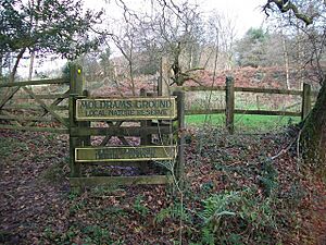
Moldrums Ground
This 2.55-hectare site includes a dry woodland surrounding natural grassland. The ponds here provide a home for the northern crested newt.
- Location: Penselwood 51°05′04″N 2°21′22″W / 51.0845°N 2.3562°W ST751317
Netherclay Community Woodland
This 3.91-hectare woodland has trees like oak, ash, black poplar, and hazel.
- Location: Bishop's Hull 51°01′13″N 3°08′03″W / 51.0202°N 3.1341°W ST205251
Norton Hillfort
This 2.04-hectare site surrounds the Iron Age hill fort of Norton Camp. It has woodlands with oak, ash, and sycamore trees, and a ground covered with bluebells and wood anemones.
- Location: Norton Fitzwarren 51°01′51″N 3°08′50″W / 51.0308°N 3.1472°W ST196263
Otterhead Lakes
These 21.53-hectare lakes are fed by the River Otter and are managed by the Otterhead Estate Trust Company, working with the Somerset Wildlife Trust. The lakes are the main feature of this mile-long nature reserve. The woods are home to dormice, badgers, and bats, while birds like kingfishers and dippers can be seen near the water.
- Location: Otterford 50°55′02″N 3°06′11″W / 50.9171°N 3.1031°W ST225136
Screech Owl
This 11.7-hectare wetland area provides a home for many different birds, bats, and small mammals.
- Location: Huntworth 51°06′42″N 2°58′40″W / 51.1116°N 2.9778°W ST316351
Silk Mills Park and Ride
This 7.08-hectare site was created with landscaping and ponds next to the River Tone when the park and ride was built. The woodlands and grasslands support water plants and various birds, bats, reptiles, and invertebrates.
- Location: Taunton 51°01′23″N 3°07′37″W / 51.0230°N 3.1270°W ST210254
Silver Street
This 2.12-hectare ancient woodland is next to Midsomer Norton railway station. It has many types of trees, including ash, beech, oak, and wild cherry. There's also a pond and some grassy areas nearby.
- Location: Midsomer Norton 51°16′52″N 2°29′07″W / 51.2810°N 2.4853°W ST662536
Slader's Leigh
This small 0.66-hectare wildflower meadow is home to plants like devil's-bit scabious and common spotted orchid. These flowers attract many different butterflies.
- Location: Winscombe 51°18′09″N 2°49′52″W / 51.3024°N 2.8312°W ST421562
South Taunton Streams (Mill, Galmington, Blackbrook 1&2)
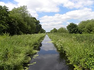
These four sites cover 8.24 hectares and offer a variety of plants that support water voles, otters, kingfishers, sand martins, dippers, and bats.
- Location: Taunton 51°00′52″N 3°04′27″W / 51.0145°N 3.0741°W ST247244
St George's Flower Bank
This 1.48-hectare flower meadow is located alongside a main road.
- Location: Easton in Gordano 51°09′03″N 2°42′12″W / 51.1509°N 2.7033°W ST512752
Street Heath
This 8.18-hectare heath is a very important biological site, managed by Somerset Wildlife Trust. It has different plant communities, including wet and dry heath, bogs, and woodlands. Rare ferns like marsh fern and royal fern grow here. It's also a haven for insects, with many species of butterflies, moths, and grasshoppers.
- Location: Glastonbury 51°28′27″N 2°46′06″W / 51.4741°N 2.7684°W ST463393
Swains
This 0.67-hectare meadow is filled with wildflowers like cuckoo flower and meadowsweet. There's also a pond that provides a home for amphibians, including great crested newts and toads.
- Location: Wellington 50°58′15″N 3°13′57″W / 50.9707°N 3.2326°W ST135197
Twerton Roundhill
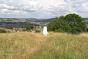
This 4.66-hectare grassland has a variety of wildflowers, such as greater knapweed and agrimony.
- Location: Twerton 51°22′07″N 2°23′50″W / 51.3685°N 2.3971°W ST724633
Uphill Hill
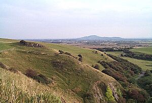
This 17-hectare site features open grassland around an old quarry. You can find many flowers here, including cowslips, primroses, and green-winged orchids. It's next to Walborough Common, and together they form a larger protected area.
- Location: Uphill 51°19′03″N 2°58′56″W / 51.3174°N 2.9821°W ST316580
Walborough Common
This 21-hectare site is a Salt marsh with special plants like sea barley and sea clover. It also has limestone grassland with unique grasses and orchids. These plants attract birds like redshanks, dunlins, and shelducks. This site is next to Uphill Hill, and they are part of a larger protected area.
- Location: Uphill 51°19′03″N 2°58′56″W / 51.3174°N 2.9821°W ST316580
Weirfield Riverside
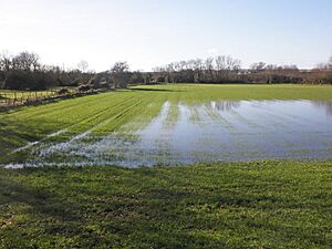
This 0.88-hectare linear nature reserve runs along the bank of the River Tone. It has alder and willow woodlands, brambles, and rough grassland. Wetter areas, which sometimes flood, are home to plants like hemlock water dropwort and yellow flag.
- Location: Taunton 51°01′13″N 3°06′56″W / 51.0204°N 3.1156°W ST218251
Wellington Basins
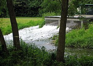
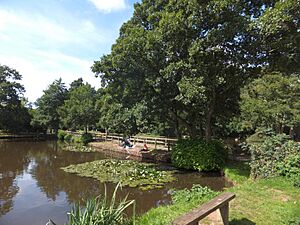
These small ponds and the surrounding grassland and woodland cover 0.53 hectares. They provide a home for birds like grey wagtails, dippers, and reed buntings.
- Location: Wellington 50°58′47″N 3°14′24″W / 50.9796°N 3.2399°W ST130207
Weston Woods
This large 129.56-hectare wooded area is on Worlebury Hill and includes the Iron Age hill fort called Worlebury Camp. The woodland is a habitat for mammals like deer, badgers, foxes, and bats. Birds such as woodpeckers, buzzards, and treecreepers also live here.
- Location: Weston-super-Mare 51°21′35″N 2°58′18″W / 51.3598°N 2.9716°W ST324627
See also


