
Image: Surrey UK location map

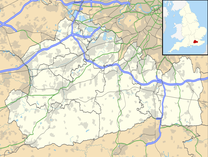
Description: Map of Surrey, UK with the following information shown: Administrative borders Coastline, lakes and rivers Roads and railways Urban areas Equirectangular map projection on WGS 84 datum, with N/S stretched 160% Geographic limits: West: 0.87W East: 0.08E North: 51.50N South: 51.05N
Title: Surrey UK location map
Credit: Ordnance Survey OpenData. Administrative borders and coastline data from Boundary-Line product. All other geographic data from Meridian 2 product. Inset derived from England location map.svg by Spischot.
Author: Nilfanion, created using Ordnance Survey data
Permission: This file is licensed under the Creative Commons Attribution-Share Alike 3.0 Unported license. Attribution: Contains Ordnance Survey data © Crown copyright and database right You are free: to share – to copy, distribute and transmit the work to remix – to adapt the work Under the following conditions: attribution – You must attribute the work in the manner specified by the author or licensor (but not in any way that suggests that they endorse you or your use of the work). share alike – If you alter, transform, or build upon this work, you may distribute the resulting work only under the same or similar license to this one. http://creativecommons.org/licenses/by-sa/3.0 CC BY-SA 3.0 Creative Commons Attribution-Share Alike 3.0 truetrue
Usage Terms: Creative Commons Attribution-Share Alike 3.0
License: CC BY-SA 3.0
License Link: http://creativecommons.org/licenses/by-sa/3.0
Attribution Required?: Yes
Image usage
The following 79 pages link to this image:
- All Saints Church, Oxted
- Ashford, Surrey
- Ashtead
- Badshot Lea
- Bagshot
- Bletchingley Castle
- Box Hill, Surrey
- Camberley
- Caterham
- Chertsey
- Christ Church, Ottershaw
- Church of St John the Baptist, Outwood
- Church of St Mary, Fetcham
- Church of St Mary, Stanwell
- Church of St Mary & St Nicholas, Leatherhead
- Church of St Mary the Virgin, Horsell
- Church of St Nicholas, Charlwood
- Church of St Nicholas, Thames Ditton
- Church of St Peter & St Paul, Godalming
- Church of St Peter and St Paul, Chaldon
- Coxes Lock
- Cranleigh
- Dorking
- Dunsfold Aerodrome
- Earlswood
- Effingham, Surrey
- Epsom
- Farleigh, Surrey
- Farley Green, Surrey
- Farnham
- Frimley
- Godalming
- Godalming Congregational Church
- Goldsworth Park
- Guildford
- Guildford Castle
- Haslemere
- Holy Trinity Church, Guildford
- Horley
- Leatherhead
- Lingfield
- Meadrow Unitarian Chapel
- Milford, Surrey
- Nork, Surrey
- Normandy, Surrey
- Old St Peter and St Paul's Church, Albury
- Oxmoor Copse
- Park Lane Chapel, Farnham
- Providence Chapel, Charlwood
- Redhill, Surrey
- Reigate
- Sacred Heart Church, Caterham
- Salvation Army Hall
- Shepperton
- St Andrew's Church, Farnham
- St Augustine's Abbey, Chilworth
- St George's Church, Esher
- St James's Church, Abinger Common
- St Joan of Arc's Church, Farnham
- St John the Evangelist Church, Hale, Surrey
- St Martin's Church, Dorking
- St Mary's, Staines
- St Mary's Church, Barnes
- St Mary's Church, Guildford
- St Peter's Church, Old Woking
- St Peter's Church, Wrecclesham
- Staines-upon-Thames
- Stanwell
- Sunbury-on-Thames
- Thames Ditton
- Thursley
- Virginia Water
- Walton-on-Thames
- Watts Gallery
- Waverley Abbey
- Weybridge
- Weybridge United Reformed Church
- Witley
- Worcester Park House
