
Image: Location map Nunavut 2

Size of this preview: 533 × 600 pixels. Other resolutions: 213 × 240 pixels | 800 × 900 pixels.
Original image (800 × 900 pixels, file size: 191 KB, MIME type: image/png)
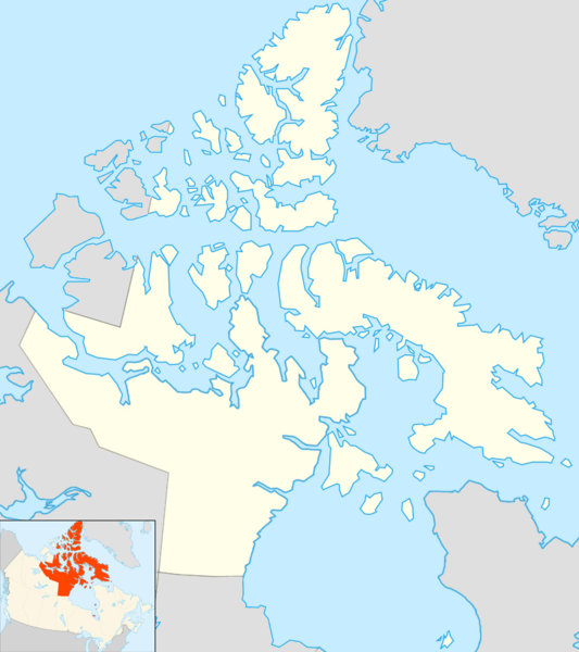
Description: Map of Nunavut
Title: Location map Nunavut 2
Credit: Based on File:Canada location map.svg with File:Nunavut, Canada.svg inset in the lower left corner.
Author: Algkalv and Dr. Blofeld based on original by Yug. Inset map is by EOZyo. Two maps put together by Ruhrfisch (talk)
Usage Terms: Creative Commons Attribution-Share Alike 3.0
License: CC BY-SA 3.0
License Link: https://creativecommons.org/licenses/by-sa/3.0
Attribution Required?: Yes
Image usage
More than 100 pages link to this image. The following list shows the first 100 page links to this image only. A full list is available.
- Aberdeen Lake (Nunavut)
- Adams Island (Nunavut)
- Admiralty Inlet (Nunavut)
- Aggijjat
- Aiqqujat Islands
- Air Force Island
- Airartuuq Island
- Aiyohok Islands
- Akimiski Island
- Akpatok Island
- Akreavenek Island
- Akshayuk Pass
- Akuglek Island
- Akulagok Island
- Akvitlak Islands
- Albert Edward Bay
- Alexander Island (Nunavut)
- Alexandra Fiord
- Alfred Island
- Algaq
- Algerine Island
- Alikdjuak Island
- Allen Island (Nunavut)
- Alligator Island
- Allman Bay
- Amadjuak Lake
- Amund Ringnes Island
- Anarnittuq Island
- Anchor Island (Nunavut)
- Anchorage Island (Nunavut)
- Angijak Island
- Angikuni Lake
- Angilaaq Mountain
- Anguttuaq
- Apqusiurniq Island
- Arctic Bay
- Arvalik Islands
- Arviqtujuq Kangiqtua
- Ascension Islands
- Asiak River
- Aston Bay
- Astronomical Society Islands
- Aubrey Island
- Augustus Island
- Aulatsiviit
- Aulattivik
- Aulitivik Island
- Aulitiving Island
- Aupaluktok Island
- Aupaluktut Island
- Aupilaktuq
- Austin Island
- Avingasittuit Siqinirsipangat Island
- Awrey Island
- Back River (Nunavut)
- Baillarge Bay
- Baillie-Hamilton Island
- Baker Lake (Nunavut)
- Barbeau Peak
- Barnes Ice Cap
- Barry Islands
- Barth Island
- Bate Islands
- Bathurst Island (Nunavut)
- Beacon Island (Hudson Strait)
- Beacon Island (Ungava Bay)
- Bear Island (Nunavut)
- Bear Islands
- Beechey Island
- Belcher Islands
- Bellot Strait
- Berens Islands
- Bergesen Island
- Berkeley Islands
- Beveridge Island (Nunavut)
- Beverly Islands
- Beverly Lake (Nunavut)
- Bibby Island
- Big Island (Hudson Bay, Nunavut)
- Big Island (James Bay, Nunavut)
- Bird Islands (Nunavut)
- Bishop Island
- Bjarnason Island
- Black Berry Islands
- Black Bluff Island
- Blacklead Island
- Blaze Island
- Bluenose Lake
- Booth Island (Nunavut)
- Borden Island
- Borup Fiord Pass
- Boulder Island
- Bowman Bay (Nunavut)
- Bradbury Island
- Bray Island
- Brevoort Island
- Brigus Island
- British Empire Range
- Broken Islands
- Bronson Island

All content from Kiddle encyclopedia articles (including the article images and facts) can be freely used under Attribution-ShareAlike license, unless stated otherwise.