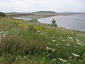
List of Ramsar sites in Scotland facts for kids
Wetlands are amazing places where land and water meet, like marshes, bogs, and lakes. They are super important for nature! They act like giant sponges, soaking up water and helping to prevent floods. They also clean our water and provide homes for many different plants and animals.
Imagine a special club for these important wetlands around the world. That's what the Ramsar Convention is! It's an international agreement where countries promise to protect their most important wetlands. This agreement was created in Ramsar, Iran, on February 2, 1971.
The United Kingdom was one of the first countries to join this club. It has protected 168 special wetland areas. In Scotland, there are 51 of these amazing Ramsar sites. One site, the Upper Solway Flats and Marshes, even stretches across parts of both Scotland and England! Together, all the Ramsar sites in Scotland cover a huge area of about 313,500 hectares (that's like 775,000 football fields!).
All these Scottish Ramsar sites are also part of a bigger European nature network called Natura 2000. This means they are also protected as either Special Protection Areas (for birds) or Special Areas of Conservation (for habitats and other species). Many are also protected by UK laws as Sites of Special Scientific Interest.
Scotland's Special Wetland Sites
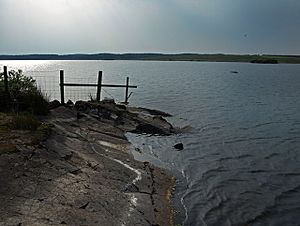
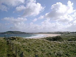
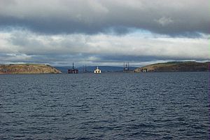
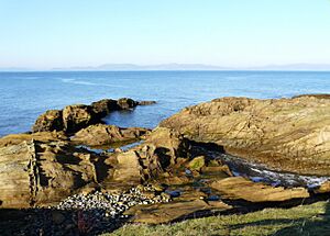
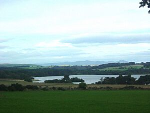
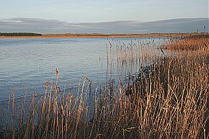
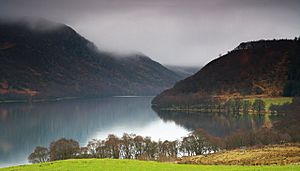
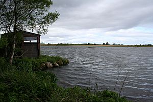
Scotland is home to many important wetlands. These places are officially recognized as Ramsar sites because they are vital for wildlife, especially birds, and for the environment. Here's a list of these special places:
| Name of Site | Area in Scotland | Protected Since | Size (hectares) | Location | Site Code | Picture |
|---|---|---|---|---|---|---|
| Bridgend Flats, Islay | Argyll and Bute | 1988-07-14 | 331 | 55°46′0″N 6°16′0″W / 55.76667°N 6.26667°W | UK13001 | |
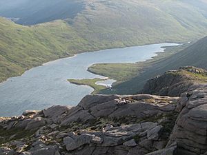
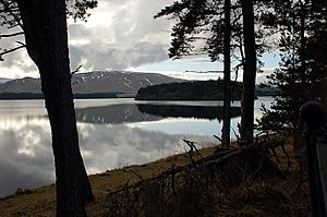
| Cairngorm Lochs | Aberdeenshire / Highland / Moray | 1981-07-24 | 173 | 57°4′0″N 3°47′0″W / 57.06667°N 3.78333°W | UK13002 | |
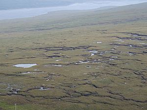
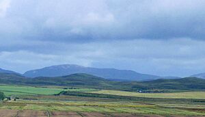
| Caithness and Sutherland Peatlands | Highland | 1999-02-02 | 143,503 | 58°20′0″N 3°56′0″W / 58.33333°N 3.93333°W | UK13003 | |
| Caithness Lochs | Highland | 1998-02-02 | 1,379 | 58°29′0″N 3°20′0″W / 58.48333°N 3.33333°W | UK13004 | |
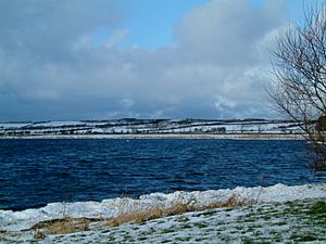
| Cameron Reservoir | Fife | 1994-03-14 | 69 | 56°18′0″N 2°51′0″W / 56.30000°N 2.85000°W | UK13005 | |
| Castle Loch, Lochmaben | Dumfries and Galloway | 1996-03-15 | 108 | 55°7′0″N 3°26′0″W / 55.11667°N 3.43333°W | UK13006 | |
| Claish Moss | Highland | 1981-07-24 | 568 | 56°44′0″N 5°44′0″W / 56.73333°N 5.73333°W | UK13007 | |
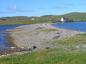
| Coll | Argyll and Bute | 1995-03-31 | 2,209 | 56°39′0″N 6°30′0″W / 56.65000°N 6.50000°W | UK13008 | |
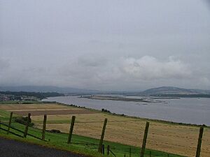
| Cromarty Firth | Highland | 1999-07-22 | 3,747 | 57°41′0″N 4°12′0″W / 57.68333°N 4.20000°W | UK13009 | |
| Din Moss - Hoselaw Loch | Scottish Borders | 1988-07-14 | 51 | 55°35′0″N 2°18′0″W / 55.58333°N 2.30000°W | UK13010 | |
| Dornoch Firth and Loch Fleet | Highland | 1997-03-24 | 7,837 | 57°51′0″N 4°2′0″W / 57.85000°N 4.03333°W | UK13011 | |
| East Sanday Coast | Orkney | 1997-08-11 | 1,515 | 59°16′0″N 2°34′0″W / 59.26667°N 2.56667°W | UK13013 | |
| Eilean na Muice Duibhe (Duich Moss), Islay | Argyll and Bute | 1988-07-14 | 576 | 55°43′0″N 6°15′0″W / 55.71667°N 6.25000°W | UK13014 | |
| Fala Flow | Midlothian | 1990-04-25 | 318 | 55°49′0″N 2°54′0″W / 55.81667°N 2.90000°W | UK13015 | |
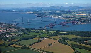
| Firth of Forth | Clackmannanshire / East Lothian / Edinburgh / Falkirk / Fife /Stirling / West Lothian | 2001-10-30 | 6,314 | 56°1′0″N 2°53′0″W / 56.01667°N 2.88333°W | UK13017 | |
| Firth of Tay & Eden Estuary | Angus / Dundee / Fife / Perth and Kinross | 2000-07-28 | 6,918 | 56°24′0″N 3°5′0″W / 56.40000°N 3.08333°W | UK13018 | |
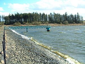
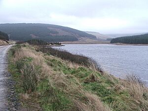
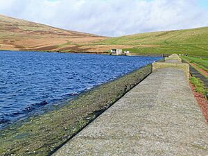
| Gladhouse Reservoir | Midlothian | 1988-07-14 | 186 | 55°47′0″N 3°6′0″W / 55.78333°N 3.10000°W | UK13021 | |
| Greenlaw Moor | Scottish Borders | 1996-03-15 | 248 | 55°44′0″N 2°27′0″W / 55.73333°N 2.45000°W | UK13022 | |
| Gruinart Flats, Islay | Argyll and Bute | 1988-07-14 | 3,261 | 55°51′0″N 6°20′0″W / 55.85000°N 6.33333°W | UK13023 | |
| Inner Clyde Estuary | East Dunbartonshire / Inverclyde / Renfrewshire / West Dunbartonshire | 2000-09-05 | 1,825 | 55°57′0″N 4°38′0″W / 55.95000°N 4.63333°W | UK13024 | |
| Inner Moray Firth | Highland | 1999-07-22 | 2,339 | 56°50′0″N 4°21′0″W / 56.83333°N 4.35000°W | UK13025 | |
| Kintyre Goose Roosts | Argyll and Bute | 1998-10-28 | 312 | 55°31′0″N 5°37′0″W / 55.51667°N 5.61667°W | UK13027 | |
| Lewis Peatlands | Na h-Eileanan Siar | 2000-12-22 | 58,984 | 58°15′0″N 6°35′0″W / 58.25000°N 6.58333°W | UK13028 | |
| Loch an Duin | Na h-Eileanan Siar | 1990-04-25 | 2,621 | 57°38′0″N 7°9′0″W / 57.63333°N 7.15000°W | UK13029 | |
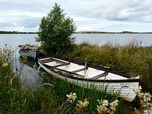
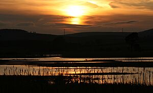
| Loch Eye | Highland | 1986-10-01 | 205 | 57°47′0″N 3°58′0″W / 57.78333°N 3.96667°W | UK13031 | |
| Loch Ken and River Dee Marshes | Dumfries and Galloway | 1992-08-31 | 769 | 54°59′0″N 4°1′0″W / 54.98333°N 4.01667°W | UK13032 | |
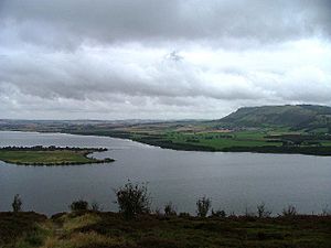
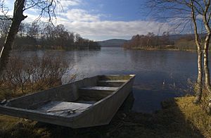
| Loch Leven | Perth and Kinross | 1976-01-05 | 1,612 | 56°12′0″N 3°23′0″W / 56.20000°N 3.38333°W | UK13033 | |
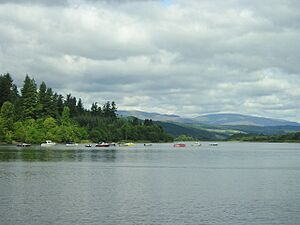
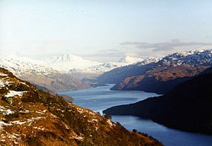
| Loch Lomond | Stirling / West Dunbartonshire | 1976-01-05 | 237 | 56°4′0″N 4°30′0″W / 56.06667°N 4.50000°W | UK13034 | |
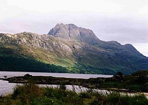
| Loch Maree | Highland | 1994-09-19 | 3,174 | 57°41′0″N 5°28′0″W / 57.68333°N 5.46667°W | UK13035 | |
| Loch of Inch and Torrs Warren | Dumfries and Galloway | 1999-02-02 | 2,111 | 54°50′0″N 4°52′0″W / 54.83333°N 4.86667°W | UK13037 | |
| Loch of Kinnordy | Angus | 1994-03-29 | 85 | 56°40′0″N 3°3′0″W / 56.66667°N 3.05000°W | UK13038 | |
| Loch of Lintrathen | Angus | 1981-07-24 | 217 | 56°41′0″N 3°11′0″W / 56.68333°N 3.18333°W | UK13039 | |
| Loch of Skene | Aberdeenshire | 1986-10-01 | 121 | 57°9′0″N 2°21′0″W / 57.15000°N 2.35000°W | UK13040 | |
| Loch of Strathbeg | Aberdeenshire | 1995-11-27 | 616 | 57°37′0″N 1°53′0″W / 57.61667°N 1.88333°W | UK13041 | |
| Loch Ruthven | Highland | 1996-08-16 | 201 | 57°20′0″N 4°17′0″W / 57.33333°N 4.28333°W | UK13042 | |
| Loch Spynie | Moray | 1992-08-31 | 94 | 57°41′0″N 3°17′0″W / 57.68333°N 3.28333°W | UK13043 | |
| Montrose Basin | Angus | 1995-02-03 | 985 | 56°43′0″N 2°30′0″W / 56.71667°N 2.50000°W | UK13046 | |
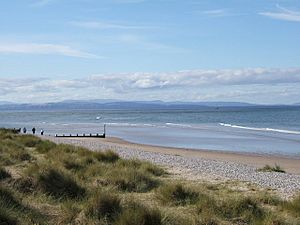
| Moray and Nairn Coast | Highland / Moray | 1997-02-02 | 2,412 | 57°39′0″N 3°44′0″W / 57.65000°N 3.73333°W | UK13048 | |
| Muir of Dinnet | Aberdeenshire | 1999-07-22 | 158 | 57°5′0″N 2°55′0″W / 57.08333°N 2.91667°W | UK13049 | |
| North Uist Machair and Islands | Na h-Eileanan Siar | 1999-07-22 (extended 2000-11-03) | 4,705 | 57°32′0″N 7°23′0″W / 57.53333°N 7.38333°W | UK13050 | |
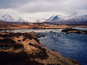
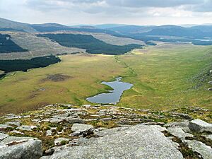
| Rannoch Moor | Perth and Kinross | 1976-01-05 | 1,519 | 56°39′0″N 4°36′0″W / 56.65000°N 4.60000°W | UK13051 | |
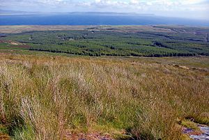
| Rinns of Islay | Argyll and Bute | 1990-04-25 | 3,571 | 55°51′0″N 6°23′0″W / 55.85000°N 6.38333°W | UK13052 | |
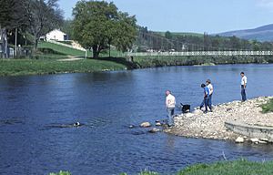
| River Spey – Insh Marshes | Highland | 1997-02-02 | 1,159 | 57°5′0″N 4°0′0″W / 57.08333°N 4.00000°W | UK13053 | |
| Ronas Hill – North Roe and Tingon | Shetland | 1997-08-11 | 5,470 | 60°33′0″N 1°25′0″W / 60.55000°N 1.41667°W | UK13054 | |
| Silver Flowe | Dumfries and Galloway | 1981-07-24 | 620 | 55°7′0″N 4°24′0″W / 55.11667°N 4.40000°W | UK13055 | |
| Sléibhtean agus Cladach Thiriodh (Tiree Wetlands and Coast) | Argyll and Bute | 2001-11-16 | 1,939 | 56°30′0″N 6°52′0″W / 56.50000°N 6.86667°W | UK13056 | |
| South Tayside Goose Roosts | Perth and Kinross | 1993-04-22 | 331 | 56°16′0″N 3°50′0″W / 56.26667°N 3.83333°W | UK13057 | |
| South Uist Machair and Lochs | Na h-Eileanan Siar | 1976-01-05 | 5,019 | 57°19′0″N 7°20′0″W / 57.31667°N 7.33333°W | UK13058 | |
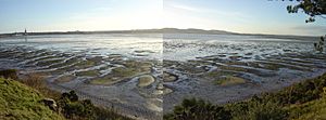
| Upper Solway Flats and Marshes | Dumfries and Galloway / Cumbria | 1986-10-01 | 43,637 | 54°54′0″N 3°25′0″W / 54.90000°N 3.41667°W | UK11079 | |
| Westwater | Scottish Borders | 1995-11-27 | 50 | 55°45′0″N 3°24′0″W / 55.75000°N 3.40000°W | UK13060 | |
| Ythan Estuary and Meikle Loch | Aberdeenshire | 1998-03-30 | 314 | 57°20′0″N 1°57′0″W / 57.33333°N 1.95000°W | UK13061 |
See also
- Ramsar Convention
- List of Ramsar sites worldwide
 | Georgia Louise Harris Brown |
 | Julian Abele |
 | Norma Merrick Sklarek |
 | William Sidney Pittman |


