National Register of Historic Places listings in Latimer County, Oklahoma facts for kids
Welcome to Latimer County, Oklahoma! This page is all about special places in the county that are listed on the National Register of Historic Places. Think of this register as a very important list of buildings, sites, and objects across the United States that are worth saving because of their history. They might be important for their architecture, what happened there, or who lived there.
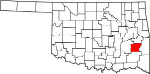
Latimer County has 22 of these amazing historic places. They include old schools, churches, buildings, and even natural areas. Each one tells a part of the story of Latimer County and Oklahoma. You can even see where some of these places are on a map if their location details are shared.
What is the National Register of Historic Places?
The National Register of Historic Places is like a hall of fame for historic sites in the United States. It's managed by the National Park Service. When a place is added to this list, it means it's recognized as important to the history of the country, state, or local area. This recognition helps protect these places and encourages people to learn about them.
Historic Places in Latimer County
Here are some of the cool historic places you can find in Latimer County:
Administration Building (Wilburton)
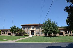
This building is located near Wilburton. It was added to the list on September 3, 2010. It's an important part of the area's history.
Ash Creek School
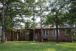
The Ash Creek School is an old school building in Wilburton. It became a historic place on September 8, 1988. Imagine all the kids who learned here long ago!
Bowers School (Wilburton)
Another historic school, the Bowers School, is also near Wilburton. It was added to the list on September 8, 1988.
Cambria School
The Cambria School is northeast of Hartshorne. This old school was recognized as historic on September 8, 1988.
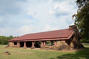
Colony Park Pavilion
You can find the Colony Park Pavilion in Veterans Colony, near Wilburton. This pavilion, a type of open building, was listed on September 8, 1988. It's a great spot for gatherings.
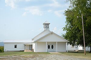
Cupco Church
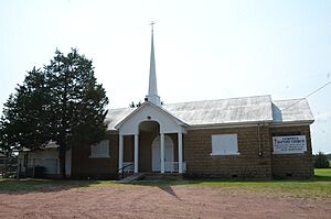
The Cupco Church is south of Yanush. This historic church was added to the list on November 6, 1980. Churches often play a big role in a community's history.
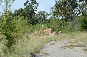
Degnan School
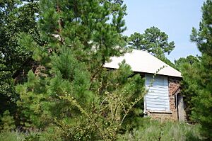
The Degnan School is northwest of Wilburton. It was listed on September 8, 1988. Sadly, not much of the original building remains today.
Eastern Oklahoma Tuberculosis Sanatorium
This large historic site is near Talihina. It was a sanatorium, a special hospital for people with tuberculosis, and was listed on April 6, 2011.
Edwards Store
The Edwards Store is about 8 miles northeast of Red Oak. This old store was added to the list on April 13, 1972. Stores like this were once central to small communities.
Great Western Coal and Coke Company Building
This building was once located at 701 East Main Street in Wilburton. It was listed on November 6, 1980, but unfortunately, it has since been torn down.
Great Western Coal and Coke Company Mine No. 3
This historic mine is located near Wilburton. It was a coal mine, important to the area's economy in the past. It was listed on November 6, 1980.
Holloway's Station
Holloway's Station is about 5 miles northeast of Red Oak. This historic site was added to the list on April 13, 1972. Stations like this were often stops for travelers or for transporting goods.
Lake Wister Locality
This historic district is near Wister and also extends into Le Flore County. It was listed on August 19, 1975. The exact address is restricted to protect the site.
McLaughlin Site
The McLaughlin Site is near Red Oak. This important historical area was listed on June 28, 1972. Its address is also restricted to protect it.
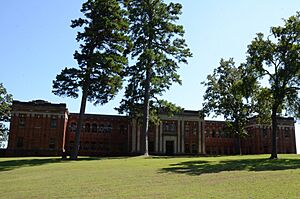
Mitchell Hall
Mitchell Hall is on the campus of Eastern Oklahoma State College in Wilburton. This building was recognized as historic on November 6, 1980.
Panola High School and Gymnasium
This historic school and gym are in Panola, located on the south side of the railroad tracks. It was listed on September 8, 1988. The building has been rebuilt or covered with metal siding.
Pusley's Station
Pusley's Station is about 2 miles southwest of Higgins. This historic site was listed on April 13, 1972. It is on private property, so it's not open to the public.
Riddle's Station Site
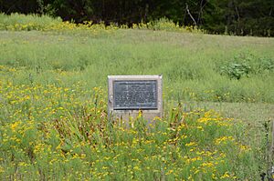
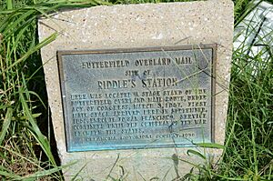
The site of Riddle's Station is about 3 miles east of Wilburton. It was added to the list on June 13, 1972.
Robbers Cave State Park
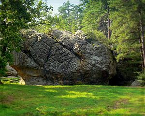
Robbers Cave State Park is a famous and beautiful park located about 7.3 miles north of Wilburton. It was listed as a historic district on August 23, 2002. The park is known for its caves and rugged terrain, which were once rumored to be hideouts for outlaws.
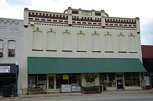
Rosenstein Building
The Rosenstein Building is at 111 East Main Street in Wilburton. This historic building was listed on June 27, 1980.
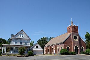
Sacred Heart Catholic Church and Rectory
This beautiful church and its rectory (the priest's house) are located at 102 Center Point Road in Wilburton. They were added to the list on November 6, 1980.


