National scenic area (Scotland) facts for kids
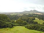
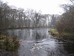
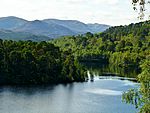
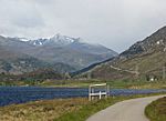
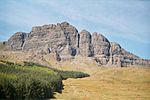
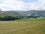
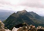
A National Scenic Area (NSA) is a special type of protected area in Scotland. It's managed by an organisation called NatureScot. The main goal of an NSA is to find and protect places with amazing natural beauty. This helps stop new buildings or projects from spoiling these beautiful views.
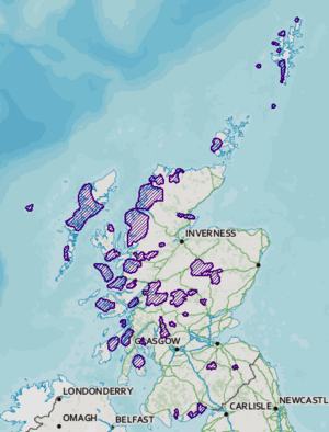
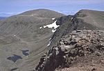
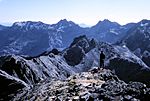
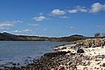
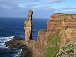
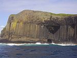
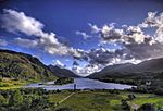
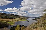
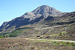
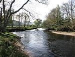
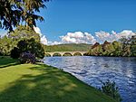
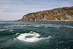
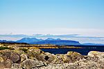
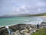
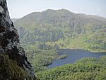
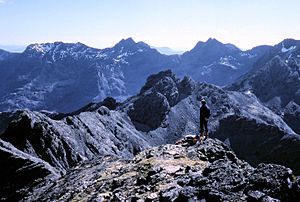
There are currently 40 National Scenic Areas in Scotland. They cover about 13% of all the land in Scotland. These areas are chosen because they show the kind of stunning scenery Scotland is famous for. Most NSAs are in wild, mountainous places. But they also include beautiful coastlines and sea areas. About a quarter of all NSA land is actually marine (sea) areas!
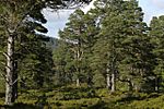
While NSAs are mostly about protecting views, they often have other special features too. These can include important history, interesting rocks, or unique wildlife. Sometimes, other protection rules might also apply to these areas, like for national nature reserves.
NSAs are recognised internationally as 'Category V Protected Landscapes'. This is the same type of protection as Scotland's two national parks. In the rest of the United Kingdom, NSAs are similar to 'Areas of Outstanding Natural Beauty' (AONBs).
Not many people know about National Scenic Areas. In 2018, a survey found that only 20% of Scots knew about NSAs. This is much less than the 80% who knew about National Parks.
Why Do We Have National Scenic Areas?
After the Second World War, the government in the UK wanted to protect beautiful places. In England and Wales, they created National Parks. But Scotland didn't get any National Parks at that time.
So, a group was set up to think about protecting Scotland's landscapes. In 1945, they suggested protecting five main areas. These were called "national park direction areas." This meant the government could check if local building plans would harm these special places.
Later, in 1978, more areas were identified as needing protection. In 1981, the "direction areas" were replaced by the National Scenic Areas we have today.
In 2000, Scotland finally got its first two national parks: Loch Lomond and The Trossachs National Park and the Cairngorms National Park. Interestingly, parts of these new National Parks were already NSAs. So, these areas now have both NSA and National Park protection.
Scottish Natural Heritage looked at the NSAs again between 2007 and 2009. They wanted to understand what made each NSA special. However, the actual number and size of the NSAs haven't changed since 1978. The current NSAs were officially confirmed again in 2010. Some groups, like the John Muir Trust, want more areas to become NSAs to protect landscapes and help tourism. But the Scottish Government has said it doesn't plan to create any new ones.
How National Scenic Areas Work
Unlike National Parks, NSAs don't have their own special management teams. Instead, the NSA title adds an extra layer of protection to these areas.
If someone wants to build something in an NSA, and the local council ignores advice from NatureScot, the Scottish Government must be told. Also, some types of building work that usually don't need permission outside an NSA do need it inside one. For example:
- Farm or forest buildings taller than 12 metres.
- New vehicle tracks for farming or forestry (unless part of an approved plan).
- Roadworks by local councils outside existing road boundaries that cost more than £100,000.
Local councils can create a plan for each NSA in their area. This plan explains what makes the area special and what needs to be done to protect it. As of 2018, only the three NSAs in Dumfries and Galloway have these plans.
Everyone in Scotland has a right to responsible access to most land and water. This is thanks to the Land Reform (Scotland) Act 2003. This means people can go walking, camping, cycling, canoeing, swimming, and climbing in NSAs. This right applies as long as they act responsibly, following the Scottish Outdoor Access Code.
List of National Scenic Areas in Scotland
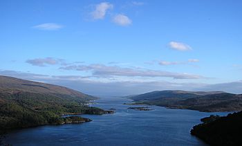
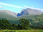
As of 2020, there are 40 National Scenic Areas. Here are some of them:
|
 | Jessica Watkins |
 | Robert Henry Lawrence Jr. |
 | Mae Jemison |
 | Sian Proctor |
 | Guion Bluford |


