
Image: Lancashire UK location map

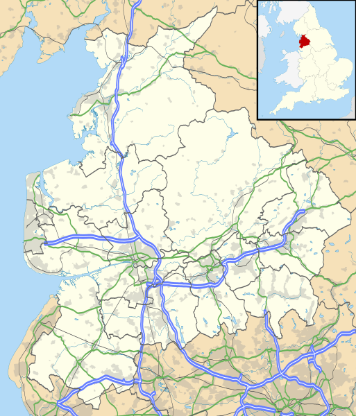
Description: Map of Lancashire, UK with the following information shown: Administrative borders Coastline, lakes and rivers Roads and railways Urban areas Equirectangular map projection on WGS 84 datum, with N/S stretched 165% Geographic limits: West: 3.13W East: 2.03W North: 54.25N South: 53.47N
Title: Lancashire UK location map
Credit: Ordnance Survey OpenData. Administrative borders and coastline data from Boundary-Line product. All other geographic data from Meridian 2 product. Inset derived from England location map.svg by Spischot.
Author: Nilfanion, created using Ordnance Survey data
Permission: This file is licensed under the Creative Commons Attribution-Share Alike 3.0 Unported license. Attribution: Contains Ordnance Survey data © Crown copyright and database right You are free: to share – to copy, distribute and transmit the work to remix – to adapt the work Under the following conditions: attribution – You must attribute the work in the manner specified by the author or licensor (but not in any way that suggests that they endorse you or your use of the work). share alike – If you alter, transform, or build upon this work, you may distribute the resulting work only under the same or similar license to this one. http://creativecommons.org/licenses/by-sa/3.0 CC BY-SA 3.0 Creative Commons Attribution-Share Alike 3.0 truetrue
Usage Terms: Creative Commons Attribution-Share Alike 3.0
License: CC BY-SA 3.0
License Link: http://creativecommons.org/licenses/by-sa/3.0
Attribution Required?: Yes
Image usage
The following 73 pages link to this image:
- Accrington
- Adlington, Lancashire
- Alden Valley
- Bacup
- Bank Parade drill hall, Burnley
- Bare, Morecambe
- Barnoldswick
- Barton, Preston
- Battle of Bamber Bridge
- Bispham, Blackpool
- Blackburn
- Blackpool
- Brierfield, Lancashire
- Brindle, Lancashire
- Brookfield, Preston
- Burnley
- Burscough
- Canterbury Street drill hall, Blackburn
- Carnforth
- Chorley
- Claughton, Lancaster
- Clayton-le-Woods
- Cleveleys
- Clitheroe
- Colne
- Darwen
- Deepdale, Preston
- Earby
- Fleetwood
- Fulwood, Lancashire
- Garstang
- Glasson Dock
- Goosnargh
- Greyfriars, Preston
- Halton-with-Aughton
- Haslingden
- Helmshore
- Kirkham, Lancashire
- Lancaster, Lancashire
- Lancaster Roman Fort
- Larches, Preston
- Leighton Moss RSPB reserve
- Leyland, Lancashire
- Longridge
- Lytham St Annes
- Medlar-with-Wesham
- Morecambe
- Musbury Valley
- Nelson, Lancashire
- Ormskirk
- Oswaldtwistle
- Over Burrow Roman Fort
- Padiham
- Penwortham
- Phoenix Street drill hall, Lancaster
- Poulton-le-Fylde
- Preesall
- Rawtenstall
- Read, Lancashire
- Rivington
- Rossendale Valley
- Round Loaf
- Skelmersdale
- Springfield Barracks
- St George's, Preston
- St Matthew's, Preston
- Stonyhurst
- Tewitfield
- Waddington, Lancashire
- Warton, Lancaster
- Whitworth, Lancashire
- Withnell
- Template:Location map United Kingdom Lancashire
