
Image: USA Montana relief location map
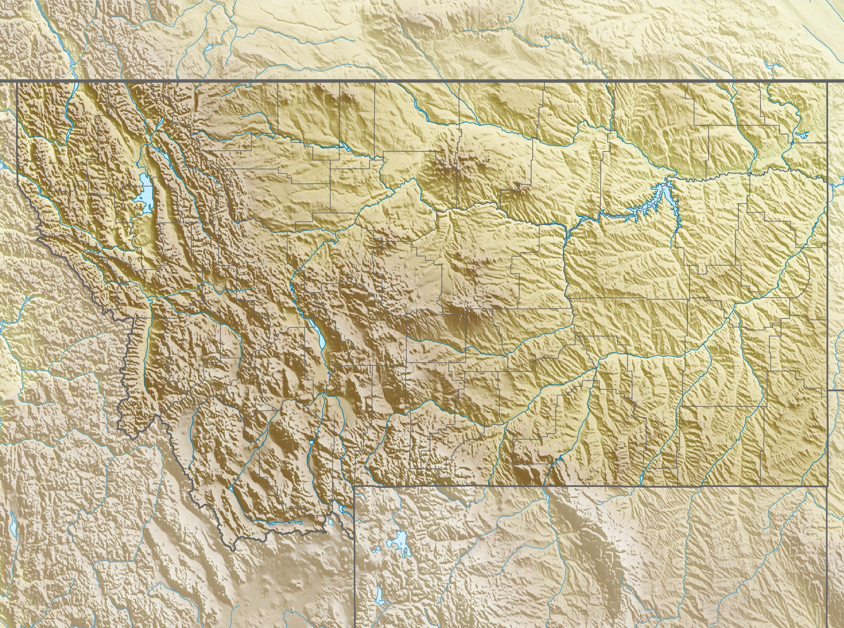
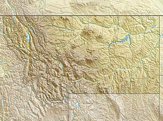
Description: Physical location map of Montana, USA
Title: USA Montana relief location map
Credit: Own work, using File:USA Montana location map.svg by Alexrk2. STRM-30 data for the relief
Author: Carport
Permission: This file is licensed under the Creative Commons Attribution-Share Alike 3.0 Unported license. You are free: to share – to copy, distribute and transmit the work to remix – to adapt the work Under the following conditions: attribution – You must give appropriate credit, provide a link to the license, and indicate if changes were made. You may do so in any reasonable manner, but not in any way that suggests the licensor endorses you or your use. share alike – If you remix, transform, or build upon the material, you must distribute your contributions under the same or compatible license as the original. https://creativecommons.org/licenses/by-sa/3.0 CC BY-SA 3.0 Creative Commons Attribution-Share Alike 3.0 truetrue
Usage Terms: Creative Commons Attribution-Share Alike 3.0
License: CC BY-SA 3.0
License Link: https://creativecommons.org/licenses/by-sa/3.0
Attribution Required?: Yes
Image usage
More than 100 pages link to this image. The following list shows the first 100 page links to this image only. A full list is available.
- Bear Paw Ski Bowl
- Big Baldy Mountain (Montana)
- Big Sky Resort
- Billings, Montana
- Black Butte (Madison County, Montana)
- Black Horse Lake
- Blackfoot Glacier
- Blacktail Mountain Ski Area
- Bowman Lake (Montana)
- Bridger Bowl Ski Area
- Canyon Ferry Dam
- Canyon Ferry Lake
- Ch-paa-qn Peak
- Chief Mountain
- Clements Mountain
- Coburn Hill
- Como Dam
- Cooney Dam
- Discovery Ski Area
- Echo Lake (Montana)
- Echo Peak (Wyoming)
- Emigrant Peak
- Fan Mountain
- Fort Peck Dam
- Fort Peck Lake
- Froze-to-Death Mountain
- Georgetown Lake (Montana)
- Gibson Reservoir
- Going-to-the-Sun Mountain
- Going-to-the-Sun Road
- Grasshopper Glacier (Montana)
- Great Divide Montana
- Grinnell Glacier
- Hebgen Lake
- Helen Lake
- Hilgard Peak
- Hungry Horse Dam
- Jackson Glacier
- Joseph Peak
- Kinnerly Peak
- Kintla Lake
- Kintla Peak
- Lake Chouteau
- Lake Circle
- Lake Cut Bank
- Lake Glendive
- Lake Great Falls
- Lake Helena
- Lake Jordan (Montana)
- Lake Missoula
- Lake Musselshell
- Lake Sherburne
- Lake Sherburne Dam
- Lewis Range
- Libby Dam
- Little Matterhorn (Montana)
- Livingston Peak
- Livingston Range
- Lolo Peak
- Lost Trail Powder Mountain
- Maverick Mountain Ski Area
- McDonald Peak
- Meldrum Mountain
- Moonlight Basin
- Mount Blackmore
- Mount Cleveland (Montana)
- Mount Gould (Montana)
- Mount Jackson (Montana)
- Mount Jefferson (Madison County, Montana)
- Mount Jumbo
- Mount Merritt
- Mount Sentinel
- Mount Siyeh
- Mount Stimson
- Olson Mountain
- Penrose Peak (Montana)
- Pictograph Cave (Billings, Montana)
- Purple Mountain (Wyoming)
- Quadrant Mountain
- Quake Lake
- Rainbow Peak
- Red Lodge Mountain
- Rogers Pass (Montana)
- Saint Mary Lake
- Showdown Ski Area
- Sphinx Mountain (Madison County, Montana)
- Stanton Mountain
- Storm Castle
- Swiftcurrent Lake
- Table Mountain (Madison County, Montana)
- Tally Lake
- Teton Pass Ski Area
- Tiber Dam
- Tongue River Dam
- Triple Divide Peak (Montana)
- Twin Lakes (Madison County, Montana)
- Two Medicine Lake
- Upper Two Medicine Lake
- Waterton Lake
- West Peak (Fergus County, Montana)
