Municipalities of Colombia facts for kids
The municipalities of Colombia are like local towns and cities that make up most of Colombia. Think of them as the building blocks of Colombia's larger areas called departments. Colombia has 1,122 municipalities in total!
Each municipality has its own leader called a mayor (or alcalde in Spanish). People vote for their mayor, who is the top boss for that municipality. The mayor works under the governor of their department. All the municipalities in a region come together to form a department.
There's also a special group called the Federación Colombiana de Municipios (Colombian Federation of Municipalities). It's like a club where all the municipalities join together to help each other and protect their shared interests.
Contents
- How are Municipalities Grouped?
- Departments and Their Municipalities
- Amazonas Department
- Antioquia Department
- Arauca Department
- Atlántico Department
- Bogotá, Capital District
- Bolívar Department
- Boyacá Department
- Caldas Department
- Caquetá Department
- Casanare Department
- Cauca Department
- Cesar Department
- Chocó Department
- Córdoba Department
- Cundinamarca Department
- La Guajira Department
- Guainía Department
- Guaviare Department
- Huila Department
- Magdalena Department
- Meta Department
- Nariño Department
- Norte de Santander Department
- Putumayo Department
- Quindío Department
- Risaralda Department
- San Andrés and Providencia Department
- Santander Department
- Sucre Department
- Tolima Department
- Valle del Cauca Department
- Vaupés Department
- Vichada Department
- Special Districts
- Images for kids
- See also
How are Municipalities Grouped?
Municipalities in Colombia are put into different groups or "categories" based on their size and how much money they make. This helps the government understand their needs better. Here's how they are categorized:
| Category | Population (more than) | Revenues (in monthly minimum wages) |
|---|---|---|
| Special category: | 500,001 inhabitants | 400,000 and over |
| First category: | 100,001 - 500,000 | 100,000 - 400,000 |
| Second category: | 50,001 - 100,000 | 50,000 - 100,000 |
| Third category: | 30,001 - 50,000 | 30,000 - 50,000 |
| Fourth category: | 20,001 - 30,000 | 25,000 - 30,000 |
| Fifth category: | 10,001 - 20,000 | 15,000 - 25,000 |
| Sixth category: | 0 - 10,000 | 15,000 |
Departments and Their Municipalities
Colombia has 32 departments, and each one is made up of different municipalities. Some departments have just a few, while others have many.
Amazonas Department
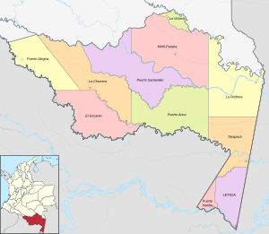
The Amazonas Department is unique. It has two main municipalities:
- Leticia
- Puerto Nariño
It also has special areas called "department corregimientos." These are like small towns or districts that have combined functions because the area is very wild. It's mostly covered by the Amazon rainforest and home to many indigenous peoples.
- Special Corregimientos:*
- El Encanto
- La Chorrera
- La Pedrera
- La Victoria
- Mirití-Paraná
- Puerto Alegría
- Puerto Arica
- Puerto Santander
- Tarapacá
Antioquia Department
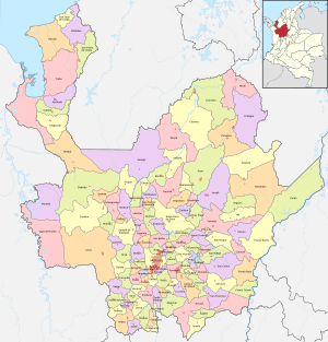
Antioquia Department is one of Colombia's largest departments. It has many municipalities, with its capital city being Medellín.
Arauca Department
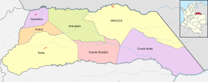
The Arauca Department is located in eastern Colombia. Its capital and largest municipality is Arauca.
Atlántico Department
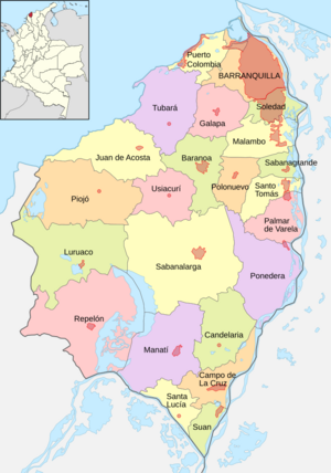
The Atlántico Department is on the Caribbean coast. Its main city and capital is Barranquilla, which is also a very important port city.
Bogotá, Capital District
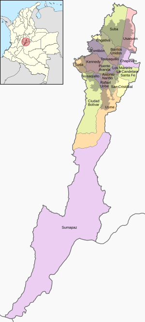
Bogotá is the capital city of Colombia. It's not part of a department in the usual way; it's a special "Capital District." Bogotá is divided into smaller areas called localities (localidades). There are 20 localities in Bogotá.
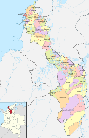
Bolívar Department
The Bolívar Department is another coastal department. Its capital is Cartagena, a historic and beautiful city.
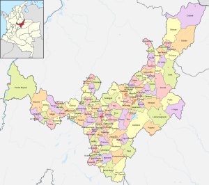
Boyacá Department
The Boyacá Department is known for its history and beautiful landscapes. Its capital city is Tunja.
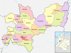
Caldas Department
The Caldas Department is part of Colombia's coffee region. Its capital is Manizales.
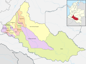
Caquetá Department
The Caquetá Department is located in the Amazon region. Its capital city is Florencia.
Casanare Department
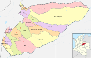
The Casanare Department is in the eastern plains of Colombia. Its capital is Yopal.
Cauca Department
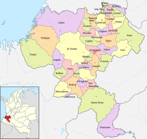
The Cauca Department is in southwestern Colombia. Its capital city is Popayán, known for its white colonial architecture.
Cesar Department
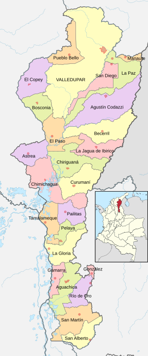
The Cesar Department is in northern Colombia. Its capital is Valledupar, famous for Vallenato music.
Chocó Department
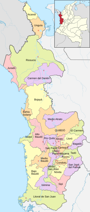
The Chocó Department is on Colombia's Pacific coast. Its capital city is Quibdó.
Córdoba Department
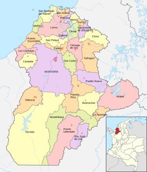
The Córdoba Department is in northern Colombia. Its capital is Montería.
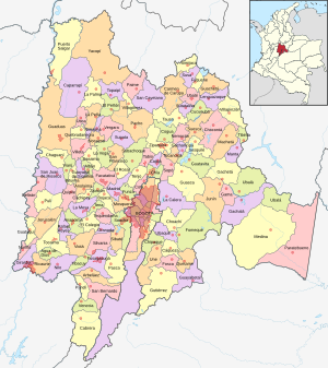
Cundinamarca Department
The Cundinamarca Department surrounds Bogotá. It has many municipalities, and its capital is not Bogotá, but rather it works closely with the Capital District.
La Guajira Department
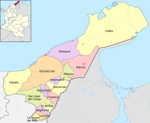
The La Guajira Department is at the northern tip of Colombia. Its capital is Riohacha.
Guainía Department
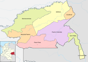
The Guainía Department is in eastern Colombia, bordering Venezuela and Brazil. Its capital is Inirida.
- Barranco Minas
- Cacahual
- Inirida
- La Guadalupe
- Morichal Nuevo
- Pana Pana
- Puerto Colombia
- San Felipe
Guaviare Department
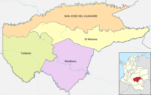
The Guaviare Department is in the central-eastern part of Colombia. Its capital is San José del Guaviare.
Huila Department
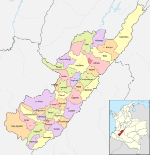
The Huila Department is in southwestern Colombia, known for its archaeological sites. Its capital is Neiva.
Magdalena Department
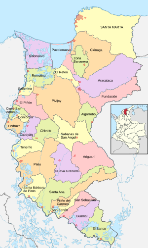
The Magdalena Department is on the Caribbean coast. Its capital is Santa Marta, one of the oldest cities in Colombia.
Meta Department
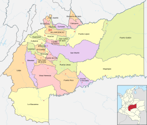
The Meta Department is in the central plains of Colombia. Its capital is Villavicencio.
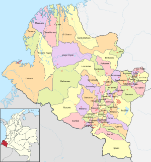
Nariño Department
The Nariño Department is in southwestern Colombia, bordering Ecuador. Its capital is Pasto.
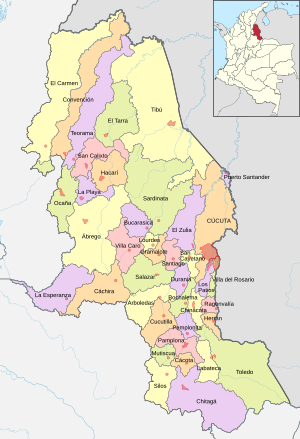
Norte de Santander Department
The Norte de Santander Department is in northeastern Colombia, bordering Venezuela. Its capital is Cúcuta.
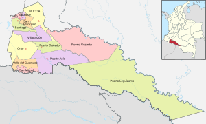
Putumayo Department
The Putumayo Department is in southern Colombia, part of the Amazon basin. Its capital is Mocoa.
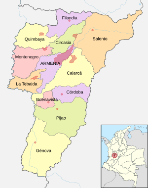
Quindío Department
The Quindío Department is a small department in the coffee region. Its capital is Armenia.
- Armenia
- Buenavista
- Calarcá
- Circasia
- Córdoba
- Filandia
- Génova
- La Tebaida
- Montenegro
- Pijao
- Quimbaya
- Salento
Risaralda Department
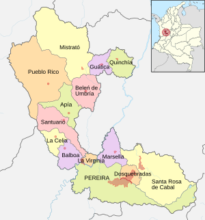
The Risaralda Department is another part of the coffee region. Its capital is Pereira.
- Apía
- Balboa
- Belén de Umbría
- Dosquebradas
- Guática
- La Celia
- La Virginia
- Marsella
- Mistrató
- Pereira
- Pueblo Rico
- Quinchía
- Santa Rosa de Cabal
- Santuario
San Andrés and Providencia Department
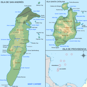
The San Andrés and Providencia Department is a group of islands in the Caribbean Sea. Its capital is San Andrés.
Santander Department
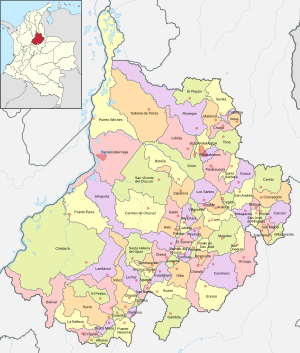
The Santander Department is in north-central Colombia. Its capital is Bucaramanga.
Sucre Department
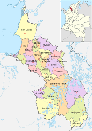
The Sucre Department is on the Caribbean coast. Its capital is Sincelejo.
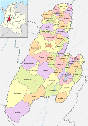
Tolima Department
The Tolima Department is in the central region of Colombia. Its capital is Ibagué.
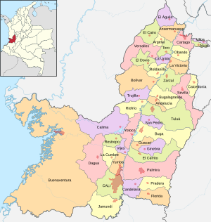
Valle del Cauca Department
The Valle del Cauca Department is in southwestern Colombia. Its capital is Cali.
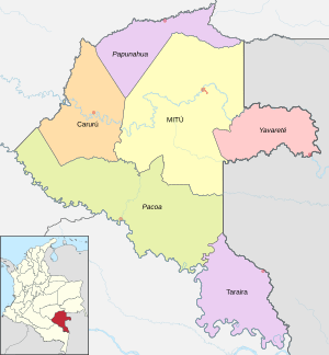
Vaupés Department
The Vaupés Department is in southeastern Colombia, part of the Amazon rainforest. Its capital is Mitú.
- Department Corregimientos
- Pacoa
- Papunahua
- Yavarate
- Municipal Corregimientos
- Acaricuara
- Villa Fátima
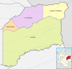
Vichada Department
The Vichada Department is in eastern Colombia, known for its vast plains. Its capital is Puerto Carreño.
- Cumaribo (including the former department corregimientos of San José de Ocune and Santa Rita)
- La Primavera
- Puerto Carreño
- Santa Rosalía
Special Districts
Besides regular municipalities, Colombia also has "Districts." These are special cities that have more power and responsibilities because they are very important. They might be capital cities, major ports, or have special historical or cultural value.
- In 1954, Bogotá became a Special District.
- In 1991, other cities like Barranquilla, Santa Marta, and Cartagena also became special districts.
- Later, more cities like Tunja, Buenaventura, Popayán, Turbo, Cúcuta, and Tumaco were given special district status for various reasons, such as being important for industry, tourism, or history.
Images for kids
See also
 In Spanish: Municipios de Colombia para niños


