National Register of Historic Places listings in Carroll County, Georgia facts for kids
Did you know that many old buildings and places in Carroll County, Georgia are super special? They are so important that they are listed on something called the National Register of Historic Places (NRHP). This is like a special list kept by the United States government to help protect places that tell us about history.
When a place is on this list, it means it's a big part of our country's story. It could be an old house, a school, a church, or even a whole neighborhood! These places help us learn about how people lived long ago, what kind of buildings they made, and what was important to them.
Contents
Cool Historic Places in Carroll County
Carroll County has many amazing spots on the National Register. Let's explore some of them!
Historic Homes and Farms
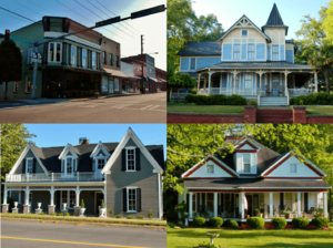
Many old houses and farms in Carroll County have been saved because they are so important.
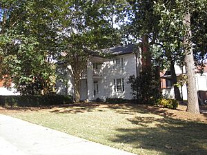
Bonner-Sharp-Gunn House
The Bonner-Sharp-Gunn House is a historic home located on the West Georgia College campus in Carrollton. It was added to the special list way back in 1970. Imagine living in a house that's been around for so long!
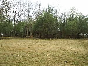
Dorough Round Barn and Farm
Have you ever seen a round barn? The Dorough Round Barn and Farm is a super unique place near Hickory Level. Most barns are square or rectangular, so a round one is pretty rare and cool to see! It was added to the list in 1980.
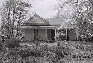
Eric Vernon Folds House
Another interesting home is the Eric Vernon Folds House in Carrollton. It was recognized in 2005 for its historical value.
Dr. James L. Lovvorn House
In Bowdon, you can find the Dr. James L. Lovvorn House. This house became part of the National Register in 1988.
McDaniel-Huie Place
The McDaniel-Huie Place is another historic spot near Bowdon. It joined the list in 1990.
Williams Family Farm
The Williams Family Farm in Villa Rica is a great example of an old farm that has been preserved. It was added to the list in 2005.
Important Public Buildings and Mills
Some buildings are important because they served the whole community or were big parts of the local economy.
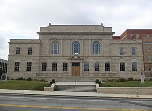
Carroll County Courthouse
The Carroll County Courthouse in Carrollton is a grand building that was built in 1928. Courthouses are where important legal decisions are made and records are kept. This one was added to the list in 1980.
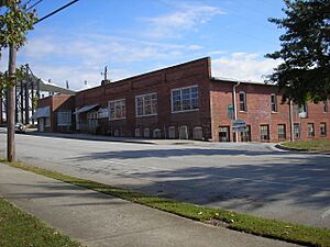
Lawler Hosiery Mill
The Lawler Hosiery Mill in Carrollton was once a busy factory where socks and other clothing items were made. It's a reminder of the area's industrial past and was listed in 2005.
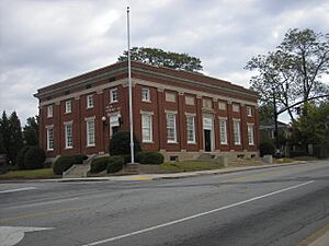
U.S. Post Office (Carrollton, Georgia)
The U.S. Post Office in Carrollton is another significant public building. It's where people sent and received mail for many years. It joined the list in 1983.
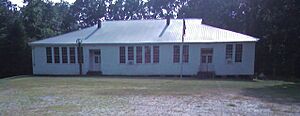
Veal School
The Veal School near Roopville is an old school building that tells us about education in the past. It was added to the register in 2005. Imagine going to school here!
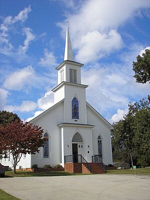
Whitesburg Baptist Church
The Whitesburg Baptist Church in Whitesburg is a historic church building. Churches often play a big role in a community's history. It was listed in 2002.
Historic Districts
Sometimes, it's not just one building that's special, but a whole group of buildings or a neighborhood! These are called historic districts.
Bowdon Historic District
The Bowdon Historic District includes many important buildings in the town of Bowdon. It's centered around the main roads, Georgia State Route 166 and Georgia State Route 100. This district was added to the list in 2009.
Carrollton Downtown Historic District
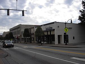
The heart of Carrollton also has its own historic district, the Carrollton Downtown Historic District. This area includes the downtown square and nearby streets. It was recognized in 2007.
Mandeville Mills and Mill Village Historic District
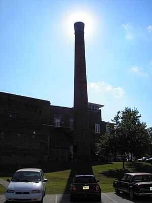
The Mandeville Mills and Mill Village Historic District in Carrollton is special because it includes both the old mill and the homes where the mill workers lived. This shows how communities grew around industries. It was listed in 2006.
North Villa Rica Commercial Historic District
In Villa Rica, the North Villa Rica Commercial Historic District covers an area with many old shops and businesses. It was added to the list in 2002.
South Carrollton Residential Historic District
The South Carrollton Residential Historic District in Carrollton is a neighborhood with many historic homes. It was recognized in 1984.
Images for kids


