National Register of Historic Places listings in Sumter County, Georgia facts for kids
This article is about special places in Sumter County, Georgia that are listed on the National Register of Historic Places. This is a list of important buildings, areas, and sites that the United States government believes are worth saving because of their history or special design.
Contents
Cool Historic Places in Sumter County
Sumter County, Georgia, is home to many places that have played a big part in American history. These sites are protected so that future generations can learn from them. Let's explore some of the most interesting ones!
Andersonville: A Civil War Story
One of the most famous places is the Andersonville National Historic Site. This site is about a very sad part of the American Civil War. It was a large prison camp for Union soldiers captured by the Confederate army.
The camp was very crowded, and many soldiers suffered and died there. Today, Andersonville is a place where people can learn about the hardships of war and remember those who were held captive. It's a National Historic Site and is managed by the National Park Service. You can find it about 1 mile east of Andersonville on GA 49.

Jimmy Carter's Hometown History
Another really important place is the Jimmy Carter National Historic Site in Plains. This site tells the story of Jimmy Carter, who grew up to become the 39th President of the United States.
You can visit his childhood home, the high school he attended, and the train depot where he launched his presidential campaign. It's a great way to see what life was like for a future president growing up in a small town. This site is also managed by the National Park Service.

The town of Plains itself is also a historic district. The Plains Historic District includes many of the buildings that were important to Jimmy Carter's life and the history of the town.

Americus Historic District
Americus has its own special area called the Americus Historic District. This district includes many old buildings and streets that show what the town looked like long ago. It's a great place to see historic architecture, including the beautiful Windsor Hotel.

Other Important Historic Places
Sumter County has many other buildings and areas listed on the National Register of Historic Places. These include:
- The Ashby Street Shotgun Row Historic District in Americus, which features unique "shotgun" style houses.
- The Campbell Chapel AME Church, an important church in Americus.
- The Dismuke Storehouse and the Guerry-Mitchell House, both in Americus.
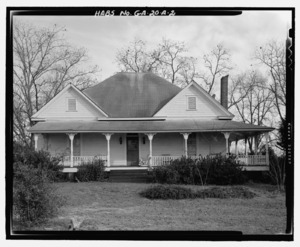
- Liberty Hall, a historic home southeast of Americus.
- A unique Lustron House in Americus, which is a type of prefabricated enamel steel home built after World War II.
- The Newman McBain House south of Americus.
- The Morgan Farm in Smithville.
- The New Corinth Baptist Church in Americus.
- The Teel-Crawford-Gaston Plantation west of Americus.
- The Third District A & M School-Georgia Southwestern College Historic District, which includes buildings from a historic school that became Georgia Southwestern State University.
- The Webb Family Farm in Sumter.
These places help us remember and understand the rich history of Sumter County and the people who lived there.