
Image: Essex UK location map

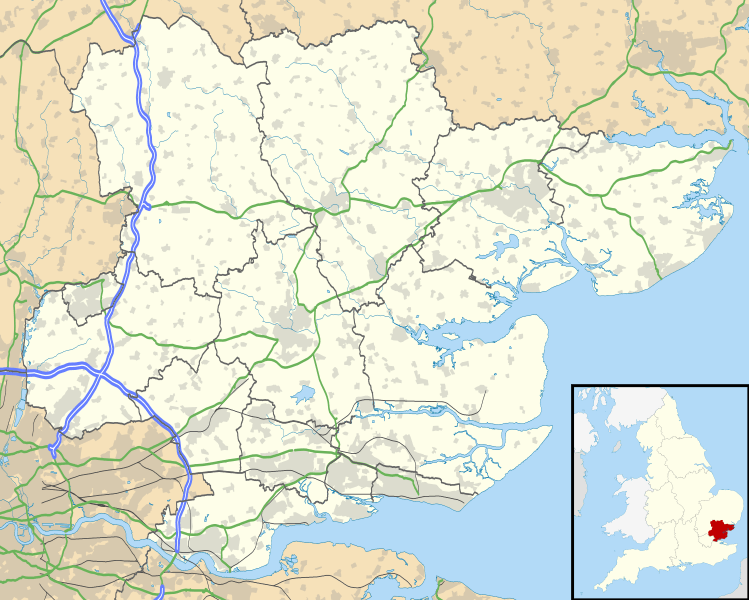
Description: Map of Essex, UK with the following information shown: Administrative borders Coastline, lakes and rivers Roads and railways Urban areas Equirectangular map projection on WGS 84 datum, with N/S stretched 160% Geographic limits: West: 0.06W East: 1.32E North: 52.11N South: 51.42N
Title: Essex UK location map
Credit: Ordnance Survey OpenData. Administrative borders and coastline data from Boundary-Line product. All other geographic data from Meridian 2 product. Inset derived from England location map.svg by Spischot.
Author: Nilfanion, created using Ordnance Survey data
Permission: This file is licensed under the Creative Commons Attribution-Share Alike 3.0 Unported license. Attribution: Contains Ordnance Survey data © Crown copyright and database right You are free: to share – to copy, distribute and transmit the work to remix – to adapt the work Under the following conditions: attribution – You must attribute the work in the manner specified by the author or licensor (but not in any way that suggests that they endorse you or your use of the work). share alike – If you alter, transform, or build upon this work, you may distribute the resulting work only under the same or similar license to this one. http://creativecommons.org/licenses/by-sa/3.0 CC BY-SA 3.0 Creative Commons Attribution-Share Alike 3.0 truetrue
Usage Terms: Creative Commons Attribution-Share Alike 3.0
License: CC BY-SA 3.0
License Link: http://creativecommons.org/licenses/by-sa/3.0
Attribution Required?: Yes
Image usage
More than 100 pages link to this image. The following list shows the first 100 page links to this image only. A full list is available.
- Aldham, Essex
- Alresford
- Althorne
- Asheldham
- Ashen
- Aythorpe Roding
- Barnston
- Basildon
- Belchamp Otten
- Billericay
- Birchanger
- Bradwell-on-Sea
- Braintree, Essex
- Brightlingsea
- Burnham-on-Crouch
- Canewdon
- Chelmsford
- Chickney
- Chipping Ongar
- Clavering
- Coggeshall
- Colchester
- Cold Norton
- Dedham, Essex
- Dengie
- Doddinghurst
- East Hanningfield
- Elmdon
- Epping, Essex
- Farnham, Essex
- Fingringhoe
- Fordham
- Frating
- Goldhanger
- Good Easter
- Grays
- Great Braxted
- Great Canfield
- Great Dunmow
- Great Easton
- Great Horkesley
- Great Tey
- Hadstock
- Halstead
- Harwich
- Hempstead
- Hullbridge
- Kelvedon
- Kelvedon Hatch
- Lambourne
- Langford
- Langley
- Latchingdon
- Lindsell
- Little Braxted
- Little Burstead
- Little Chesterford
- Little Hallingbury
- Little Horkesley
- Little Sampford
- Little Totham
- London Stansted Airport
- Loughton
- Maldon
- Manuden
- Margaretting
- Mashbury
- Mundon
- North Fambridge
- Peldon
- Pleshey
- Purleigh
- Radwinter
- Rawreth
- Rettendon
- Roxwell
- Saffron Walden
- Sandon
- Silver End
- South Hanningfield
- South Woodham Ferrers
- Southminster
- Stanford Rivers
- Stisted
- Stock, Essex
- Stow Maries
- Strethall
- Thaxted
- Theydon Garnon
- Tillingham
- Tilty
- Tolleshunt D'Arcy
- Tolleshunt Knights
- Ugley
- West Hanningfield
- Wicken Bonhunt
- Witham
- Wivenhoe
- Woodham Mortimer
- Woodham Walter
