Flood facts for kids
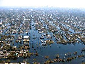
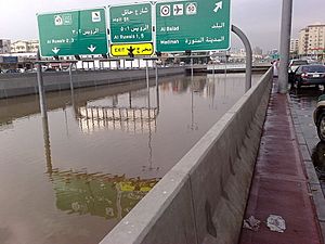
A flood happens when water overflows onto land that is usually dry. It's like a giant puddle that covers streets, homes, and fields. Floods can be caused by many things. Heavy rainfall, melting snow, or rivers overflowing are common reasons. Sometimes, a dam might break, releasing a lot of water suddenly. Less common causes include giant ocean waves called tsunamis or high storm surges from big storms.
Floods can be very dangerous. The deadliest flood ever recorded happened in China in 1931. Millions of people lost their lives. Bangladesh is a country that experiences floods very often. When a flood happens, people need to move to higher, safer ground quickly. This process of leaving your home to find safety is called evacuation.
Contents
Staying Safe During a Flood
During a flood, most water becomes dirty and unsafe to drink. This is called polluted water. If people drink this dirty water, they can get very sick. Diseases like typhoid and cholera can spread easily.
It is important to prepare for a flood. You can fill many containers with clean drinking water. Also, store other emergency supplies. These include medicine and food. Having these items ready helps you stay safe during a flood.
Different Kinds of Floods
Flooding in Flat Areas
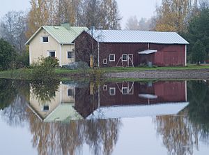
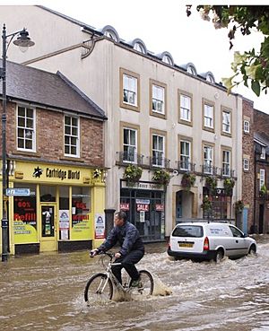
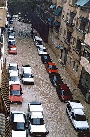
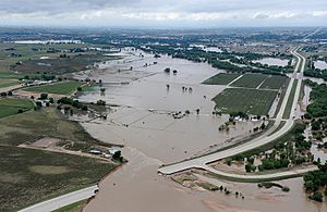
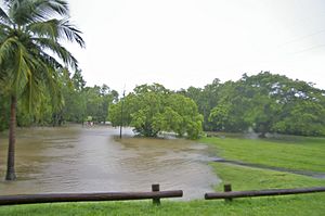
Floods can happen in flat or low-lying places. This occurs when rain or melting snow falls too fast. The ground cannot soak up the water quickly enough. Also, the water cannot run off fast enough. The extra water then collects in the lowest spots. It can become dangerously deep.
River Floods
Floods happen in all kinds of rivers and streams. This includes small streams and even normally dry riverbeds in dry places. They can happen slowly or very quickly, like a flash flood.
Rivers with large catchment areas can flood. This is often due to long periods of rain or quickly melting snow. Monsoons or tropical cyclones can also cause these floods. They usually happen slowly because the river is large. It can hold a lot of water before overflowing.
Fast floods, like flash floods, happen near smaller rivers. They also occur in rivers with steep valleys. Rivers flowing over ground that doesn't soak up water well can also cause flash floods. Intense thunderstorms are a common cause. A sudden release of water from a broken dam or a glacier can also cause rapid flooding.
Coastal Floods
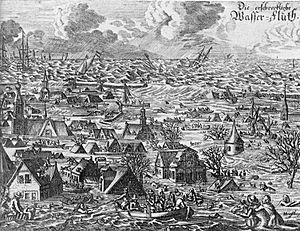
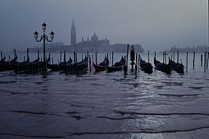
Flooding in estuaries and coastal areas is often caused by storm surges. These are high waves that come during high tides at sea. The waves can go over flood defenses. Sometimes, tsunamis or tropical cyclones also cause floods in these areas.
What Causes Floods?
- Heavy Rainfall: This is the most common cause of flooding. Quick, heavy downpours can lead to flash floods.
- Melting Snow: When a lot of snow melts quickly, the water can overwhelm rivers and land.
- Tsunamis and Storm Surges: These are less common but powerful causes. Tsunamis are giant ocean waves. Storm surges are high tides pushed by strong storms.
- Dam Breaks: If a dam breaks, it suddenly releases a huge amount of water. This floods areas near the river.
- Clogged Drains: Drains that are not cleaned can get blocked. This stops water from flowing away, causing local floods.
Planning for Flood Safety
In the United States, the National Weather Service has a safety message: "Turn Around, Don't Drown." This means you should avoid driving or walking through flooded areas. It is safer to go around them. Most cities have special safety services. These include hospitals, emergency centers, police, fire, and rescue teams. They are ready to help in flood-prone areas.
Engineers who design buildings, roads, and bridges plan for floods. They make sure these structures can handle floodwaters. This allows people to leave the area safely.
In the United States, the Federal Emergency Management Agency, or FEMA, has plans. They help people in areas that have been flooded.
How to Control Floods
Many countries build defenses to stop floods. These include detention basins, levees, bunds, reservoirs, and weirs. If these defenses fail, emergency teams use sandbags or inflatable tubes. These help redirect the water.
Near the coast, sea walls help control flooding. Another method is beach nourishment. This means adding sand to a beach to make it wider. Barrier islands also help protect coastal areas.
Near rivers, people use erosion control to slow down water. This helps stop rivers from changing their path over time. Dams can also be built and maintained to control river floods.
In cities, drainage systems can be improved. This helps direct water away from places people use often. Homeowners can also change their yards. They can make sure water flows away from their houses. Using rain barrels, sump pumps, and check valves also helps.
Beavers can actually help control floods. They build and maintain beaver dams. These dams can reduce the height of flood waves moving down a river.
Fun Facts About Floods
- In the United States, floods cause more deaths and damage than tornadoes, hurricanes, or lightning.
- Many people choose to live near water. Water is good for agriculture and transport. They know the risk of flooding but are willing to take it.
- It only takes six inches (about 15 cm) of fast-moving water to knock a person down. This can be very dangerous.
- Flood water is often contaminated. It can contain sewage or harmful chemicals. It might also have dangerous debris like branches.
- The 1931 China floods were the deadliest floods ever recorded in history.
- A single acre (about 4,000 square meters) of wetland can hold 330,000 gallons of water. This is enough to flood thirteen average-sized homes up to a person's thighs.
- Floods can also be helpful. The Ancient Egyptians depended on the Nile River's yearly flooding. It helped their crops grow.
Related pages
Images for kids
-
Flood due to Cyclone Hudhud in Visakhapatnam
-
A dog sitting on top of 2 feet of mud left by flooding in the 2018 Kerala floods in India. Flooding can cause water damage and leave a lot of sediment.
-
Flooding near Key West, Florida, United States from Hurricane Wilma's storm surge in October 2005
-
Flooding in a street of Natal, Rio Grande do Norte, Brazil in April 2013
-
Flash flooding caused by heavy rain falling in a short amount of time.
-
Many villages were flooded when rivers in northwestern Bangladesh overflowed in October 2005. This image from NASA's Terra satellite shows the flooded Ghaghat and Atrai Rivers.
See also
 In Spanish: Inundación para niños
 | Selma Burke |
 | Pauline Powell Burns |
 | Frederick J. Brown |
 | Robert Blackburn |


