
Image: Ireland relief location map

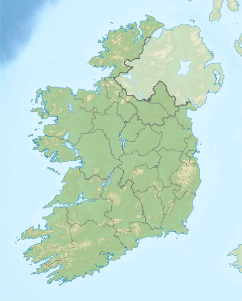
Description: Relief location map of Ireland Equirectangular map projection on WGS 84 datum, with N/S stretched 170% Geographic limits: West: 11.0° W East: 5.0° W North: 55.6° N South: 51.2° N
Title: Ireland relief location map
Credit: Shuttle Radar Topography Mission Relief data National Geospatial-Intelligence Agency Coastline data File:Ireland location map.svg: NordNordWest Borders
Author: Nilfanion
Permission: This file is licensed under the Creative Commons Attribution-Share Alike 3.0 Unported license. You are free: to share – to copy, distribute and transmit the work to remix – to adapt the work Under the following conditions: attribution – You must give appropriate credit, provide a link to the license, and indicate if changes were made. You may do so in any reasonable manner, but not in any way that suggests the licensor endorses you or your use. share alike – If you remix, transform, or build upon the material, you must distribute your contributions under the same or compatible license as the original. https://creativecommons.org/licenses/by-sa/3.0 CC BY-SA 3.0 Creative Commons Attribution-Share Alike 3.0 truetrue
Usage Terms: Creative Commons Attribution-Share Alike 3.0
License: CC BY-SA 3.0
License Link: https://creativecommons.org/licenses/by-sa/3.0
Attribution Required?: Yes
Image usage
More than 100 pages link to this image. The following list shows the first 100 page links to this image only. A full list is available.
- Aghla Beg
- Aghla More
- Aghowle Church
- Aille River (County Mayo)
- Annagh Church
- Arderin
- Ardloughnabrackbaddy
- Ardskeagh Church
- Arra Mountains
- Baldongan Church
- Ballinakill, County Galway
- Ballyallia Lake
- Ballyhoura Mountains
- Ballylarkin Church
- Ballynoran Church
- Banagher
- Ben Lugmore
- Benbrack
- Benbreen
- Benbulbin
- Bencollaghduff
- Bencorr
- Benglenisky
- Bengower
- Benlettery
- Bentee
- Birreencorragh
- Bocan Stone Circle
- Boggeragh Mountains
- Brackley Lough
- Brassel Mountain
- Bray, County Wicklow
- Bray Head
- Broaghnabinnia
- Caha Mountains
- Caher Mountain (Kerry)
- Caher West Top
- Cannistown Church
- Carlingford Lough
- Carlow
- Carntemple
- Carrick Mountain
- Carrigadrohid Lake
- Carrowmore Lake
- Carton House
- Cavan
- Clara Mountain
- Claragh Mountain
- Cleggan Bay
- Clonamery Church
- Clone Church
- Clonkeen Church
- Cnoc Raithní
- Cnoc na Péiste
- Collegiate Church of St Peter and St Paul (Kilmallock)
- Conor Pass
- Coole Upper Churches
- Cork (city)
- Cork Harbour
- Creggankeel Fort
- Croagh Patrick
- Cruicetown Church
- Cullahill Mountain
- Cupidstown Hill
- Derryclare
- Devilsmother
- Diamond Hill (Ireland)
- Donaghcumper Church
- Doora Church
- Drogheda
- Dublin
- Dundalk
- Ennis
- Errigal
- Errisbeg
- Ferriter's Cove
- Fossy Church
- Furness Church
- Galway
- Gap of Dunloe
- Garfinny Church
- Garraunbaun
- Glen of Aherlow
- Glenamaddy Turlough
- Glenicmurrin Lough
- Golden Bog of Cullen
- Granard Motte
- Helvick
- Hook Head
- Hospital Church
- Hungry Hill
- Inniscarra Lake
- Kilkenny
- Killarney
- Limerick
- Macroom
- Seefin (Ballyhoura Mountains)
- Sligo
- Tralee
- Waterford
