List of National Natural Landmarks in Indiana facts for kids
Indiana is home to many amazing natural places! These special spots are called National Natural Landmarks. They are recognized by the United States government because they have unique natural features, like rare plants, ancient forests, cool caves, or special rock formations.
These landmarks help us learn about Earth's history and protect important natural areas for everyone to enjoy. Indiana has 30 of these incredible places, each with its own story and special features.
| Name | Image | Date Designated | Location | County | Ownership | What Makes it Special |
|---|---|---|---|---|---|---|
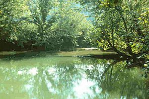
| Big Walnut Creek | 1985 | Bainbridge 39°47′48″N 86°46′39″W / 39.796749°N 86.777474°W |
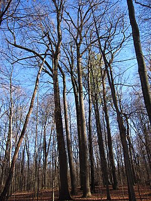
Putnam | State & Private | This area has rare trees like beech, sugar maple, and tulip poplar growing on special soil. | |
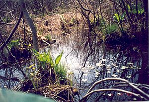
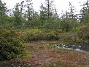
| Cabin Creek Raised Bog | 1974 | Farmland 40°08′13″N 85°07′33″W / 40.1368101°N 85.1257457°W |
Randolph | Private | It's one of the few inland raised bogs in the U.S. It has many different kinds of plants, including some that are rare. | |
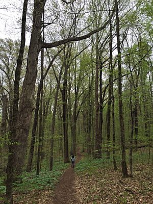
| Calvert and Porter Woods | 1974 | New Ross 40°01′22″N 86°43′19″W / 40.0228369°N 86.7218275°W |
Montgomery | State | This is one of the best old, untouched forests in central Indiana. | |
| Cowles Bog | 1965 | Chesterton 41°38′15″N 87°05′32″W / 41.6375°N 87.092222°W |
Porter | Federal | Part of the Indiana Dunes National Lakeshore, this bog is where a famous scientist, Henry Chandler Cowles, studied how plants grow and change over time. | |
| Davis-Purdue Agriculture Center Forest | 1974 | Farmland 40°15′12″N 85°08′53″W / 40.2533425°N 85.1480344°W |
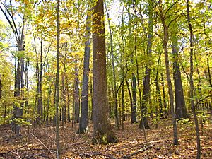
Randolph | State | This forest is the best old-growth oak-hickory forest in the Tipton Till Plain area. | |
| Donaldson Cave System and Woods | 1972 | Mitchell 38°43′49″N 86°24′55″W / 38.73022°N 86.4153307°W |
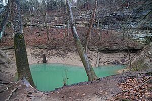
Lawrence | State | Found in Spring Mill State Park, this site features a stream that flows out of a cave and through a deep gorge. | |
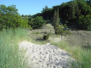
| Dunes Nature Preserve | 1974 | Porter 41°39′36″N 87°02′24″W / 41.660°N 87.040°W |
Porter | State | This part of Indiana Dunes State Park has wetlands between sand dunes and large "blowouts" (bowl-shaped hollows in the sand) along Lake Michigan. | |
| Fern Cliff Nature Preserve | 1980 | Greencastle 39°36′40″N 86°57′49″W / 39.610985°N 86.96366°W |
Putnam | Private | It's known for its amazing collection of mosses and liverworts, including many rare kinds. | |
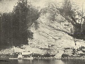
| Hanging Rock and Wabash Reef | 1986 | Lagro 40°49′48″N 85°42′26″W / 40.83°N 85.70722°W |
Wabash | Private | This site shows an impressive natural rock formation of a fossilized coral reef. It's about 400 million years old and rises 75 feet above the river. | |
| Harrison Spring | 1980 | Depauw 38°14′41″N 86°13′31″W / 38.244755°N 86.225143°W |
Harrison | Private | This spring is fed by an underground stream and produces a huge amount of water daily, enough for a town of 12,000 people! | |
| Hemmer Woods | 1973 | Oakland City 38°13′51″N 87°22′15″W / 38.230768°N 87.370935°W |
Gibson | State & Private | This is an original oak-hickory forest from southwestern Indiana. | |
| Hoosier Prairie | 1974 | Griffith 41°31′22″N 87°27′27″W / 41.522683°N 87.457572°W |
Lake | Federal | Part of the Indiana Dunes National Lakeshore, this prairie has sand plains, sedge meadows, and marshes. | |
| Hoot Woods | 1973 | Freedom 39°15′00″N 86°53′22″W / 39.249897°N 86.889462°W |
Owen | Private | This is a quiet, undisturbed beech-maple forest that is almost in its natural, balanced state. | |
| Kramer Woods | 1973 | Reo 37°50′38″N 87°08′17″W / 37.843932°N 87.137981°W |
Spencer | State | This forest is the only example in Indiana of a large lowland forest dominated by Shumard's red oak, pin oak, and hickory trees. | |
| Marengo Cave | 1984 | Marengo 38°22′32″N 86°20′24″W / 38.37555°N 86.33993°W |
Crawford | Private | This is one of Indiana's four "show caves" where people can take tours. Tours have been given here since 1883, just days after two school children discovered the cave! | |
| Meltzer Woods | 1973 | Shelbyville 39°30′10″N 85°40′04″W / 39.5028°N 85.6678°W |
Shelby | Private | This area has two different types of forests and some incredibly large trees. | |
| Officer's Woods | 1974 | Seven miles northwest of Madison | Jefferson | Private | This is one of the best remaining beech-maple forests south of the old glacial boundary in Indiana. It has areas with a lot of black gum trees. | |
| Ohio Coral Reef | 1966 | Clarksville 38°16′36″N 85°45′56″W / 38.27665°N 85.76544°W |
Floyd | Federal | This is a classic example of a coral community from the Silurian and Devonian periods, about 400 million years ago. It extends into Kentucky and is part of the Falls of the Ohio National Wildlife Conservation Area. | |
| Pine Hills Natural Area | 1968 | Waveland 39°56′34″N 87°02′58″W / 39.94276°N 87.049348°W |
Montgomery | State | This area, part of Shades State Park, features deep gorges carved by melting glaciers long ago. | |
| Pinhook Bog | 1965 | Michigan City 41°36′54″N 86°50′54″W / 41.615°N 86.848333°W |
LaPorte | Federal | Part of Indiana Dunes National Lakeshore, this bog formed from a "kettle" left by melting ice about 14,000 years ago. It's known for its acidic water and plants like pitcher plants. | |
| Pioneer Mothers Memorial Forest | 1974 | Paoli 38°32′10″N 86°27′32″W / 38.536°N 86.459°W |
Orange | Federal | This is one of the best examples of an original, untouched forest in Indiana from before settlers arrived. It's part of Hoosier National Forest. | |
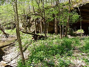
| Portland Arch Nature Preserve | 1973 | Covington 40°13′07″N 87°20′09″W / 40.218611°N 87.335833°W |
Fountain | State | This preserve includes wooded valleys, ravines, and rocky cliffs. Its name comes from a natural sandstone bridge carved by a small stream. | |
| Rise at Orangeville | 1972 | West Baden Springs 38°37′52″N 86°33′26″W / 38.63115°N 86.55711°W |
Orange | Private | The Orangeville Rise of Lost River Nature Preserve is the second largest spring in Indiana. | |
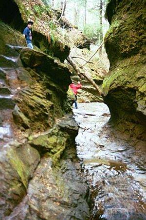
| Rocky Hollow Falls Canyon Nature Preserve | 1974 | Marshall 39°53′37″N 87°12′17″W / 39.893739°N 87.204589°W |
Parke | State | Rocky Hollow and Falls Canyon are two of many canyons carved into the sandstone at Turkey Run State Park. | |
| Shrader-Weaver Woods | 1974 | Bentonville 39°43′13″N 85°13′20″W / 39.720309°N 85.222321°W |
Fayette | State | This is an old-growth beech-maple forest with a historic homestead. It includes large tulip, wild black cherry, and black walnut trees. | |
| Tamarack Bog | 1973 | Mongo 41°40′35″N 85°15′44″W / 41.676361°N 85.262314°W |
LaGrange | State | This is a large swamp with tamarack trees, located within the Pigeon River Fish and Wildlife Area. | |
| Tolliver Swallowhole | 1972 | Orleans 38°36′58″N 86°29′41″W / 38.616197°N 86.494599°W |
Orange | Private | This is a great example of a "disappearing stream" in a karst landscape, where a stream flows into a hole in the ground. | |
| Wesley Chapel Gulf (Elrod Gulf) | 1972 | Orleans 38°37′21″N 86°31′19″W / 38.622452°N 86.521906°W |
Orange | Federal | This is likely the largest sinkhole in Indiana. It's located in the Hoosier State Forest. | |
| Wesselman Woods Nature Preserve | 1973 | Evansville 37°59′05″N 87°30′22″W / 37.984722°N 87.506111°W |
Vanderburgh | Municipal | This is an old-growth forest in southern Indiana. | |
| Wyandotte Caves | 1972 | Leavenworth 38°13′41″N 86°17′46″W / 38.228056°N 86.296111°W |
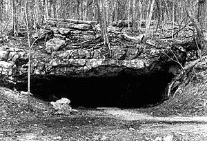
Crawford | State | These caves, part of O'Bannon Woods State Park and Harrison-Crawford State Forest, started forming about 2 million years ago. They were created when water dissolved limestone, making hollow spaces underground. |
Black History Month on Kiddle
Famous African-American Inventors:
 | George Robert Carruthers |
 | Patricia Bath |
 | Jan Ernst Matzeliger |
 | Alexander Miles |

All content from Kiddle encyclopedia articles (including the article images and facts) can be freely used under Attribution-ShareAlike license, unless stated otherwise. Cite this article:
List of National Natural Landmarks in Indiana Facts for Kids. Kiddle Encyclopedia.

