
Image: Australia Queensland relief location map
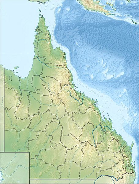
Size of this preview: 454 × 600 pixels. Other resolutions: 182 × 240 pixels | 973 × 1,285 pixels.
Original image (973 × 1,285 pixels, file size: 168 KB, MIME type: image/jpeg)
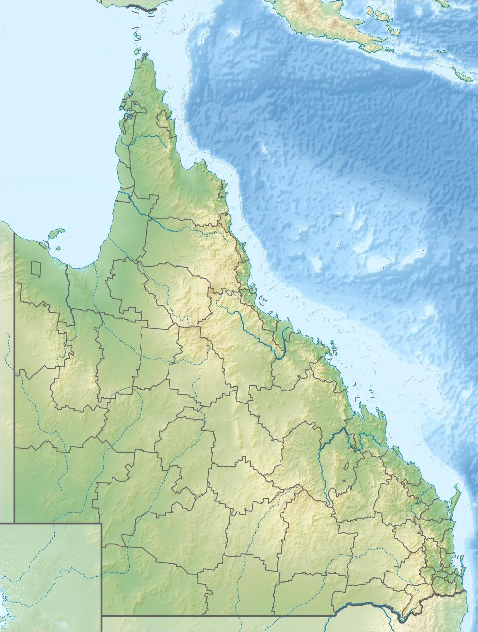
Description: Location map of Queensland, Australia Equirectangular projection, N/S stretching 106 %. Geographic limits of the map: N: 9.0° S S: 29.5° S W: 137.5° E E: 154.0° E Borders and Reefs from the other map by NNW.
Title: Australia Queensland relief location map
Credit: Own work
Author: Uwe Dedering
Usage Terms: Creative Commons Attribution-Share Alike 3.0
License: CC BY-SA 3.0
License Link: http://creativecommons.org/licenses/by-sa/3.0
Attribution Required?: Yes
Image usage
More than 100 pages link to this image. The following list shows the first 100 page links to this image only. A full list is available.
- Adolphus Channel
- Albatross Bay
- Albert River (South East Queensland)
- Alice River (Far North Queensland)
- Anderson Street Conservation Park
- Annan River
- Archer Point Light
- Archer River
- Atkinson Dam
- Baffle Creek
- Balonne River
- Baree, Queensland
- Baroon Pocket Dam
- Barratta Creek
- Barringun, Queensland
- Barron River (Queensland)
- Batt Reef
- Bay Rock Light
- Bellthorpe National Park
- Bill Gunn Dam
- Bjelke-Petersen Dam
- Black River (Queensland)
- Blackdown Tableland National Park
- Bladensburg National Park
- Booby Island Light
- Boondooma Dam
- Bowen River (Queensland)
- Bowling Green Bay National Park
- Breakfast Creek
- Bremer River (Queensland)
- Brisbane River
- Brisbane Synagogue
- Bulimba Creek
- Bunya Mountains
- Burdekin Dam
- Burdekin River
- Burnett River
- Burrum River
- Bushy Islet
- Bustard Head Light
- Caboolture River
- Cairns
- Cape Bowling Green Light
- Cape Capricorn Light
- Cape Cleveland Light
- Cape Moreton Light
- Cape Pallarenda Conservation Park
- Carron River (Queensland)
- Cato Reef
- Cedar Bay National Park
- Cleveland Bay (Queensland)
- Cleveland Point Light
- Coleman River (Queensland)
- Condamine River
- Connolly Dam
- Connors River
- Conondale National Park
- Cooby Dam
- Coolmunda Dam
- Coomera River
- Copperlode Falls Dam
- Cowan Cowan Point Light
- Creal Reef Light
- Currawinya National Park
- Currumbin Creek
- Daintree River
- Dawson River (Queensland)
- Deception Bay (Queensland)
- Dent Island Light
- Devil's Thumb (Queensland)
- Double Island Point Light
- Evelyn, Queensland
- Fitzroy Island National Park
- Great Barrier Reef Marine Park
- Kutini-Payamu (Iron Range) National Park
- Lake Buchanan (Queensland)
- Lake Dunn
- Lake Euramoo
- Lake Galilee (Queensland)
- Lake Gregory (Queensland)
- Lockyer Creek
- Maidenwell, Queensland
- Main Range National Park
- Mona Mona Mission
- Mooroobool, Queensland
- Moreton Bay
- Mount Bowen (Queensland)
- Mount Dalrymple (Queensland)
- Mount Doongul
- Mount Mitchell (Queensland)
- Oxley Creek
- Pioneer River
- Ross River (Queensland)
- St Helena Island National Park
- Sunshine Coast, Queensland
- Tarong, Queensland
- Tinaroo Dam
- Trinity Bay (Queensland)
- Warul Kawa Indigenous Protected Area
- Watsonville, Queensland

All content from Kiddle encyclopedia articles (including the article images and facts) can be freely used under Attribution-ShareAlike license, unless stated otherwise.