State Scenic Highway System (California) facts for kids
 
State Scenic Highway System signage
|
|
Quick facts for kids Highway names |
|
|---|---|
| System links | |
| State highways in California(list • pre-1964) History • Unconstructed • Deleted • Freeway • Scenic |
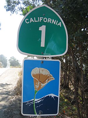
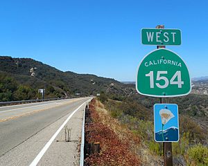
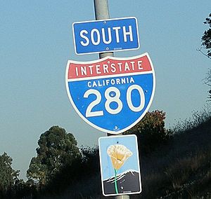
The State Scenic Highway System in California is a special group of roads. These roads, mostly state highways, are chosen by the California Department of Transportation (Caltrans) because they offer amazing views. You can spot them by their unique signs: a California poppy flower inside a rectangle for state roads or a pentagon for county roads.
To become a scenic highway, a road first needs to be listed as "eligible" by the California State Legislature. Then, the local government in charge of the land next to the highway must create a plan to protect its beauty. This plan helps limit new buildings, big advertisements, and changes to the land. Caltrans then checks if the road meets all the requirements. Sometimes, this process can be tricky because it involves balancing beautiful views with what landowners want to do with their property.
Even county roads can become scenic highways if they have special views. The county government follows a similar approval process with Caltrans to get them designated.
Contents
California's Historic Parkways: Roads from the Past
California also has "Historic Parkways." These are special scenic highways that were built a long time ago, before 1945. They are important because of their history. To be a Historic Parkway, a road must also not have too much traffic (less than 40,000 vehicles per day). Plus, it needs to be surrounded by parks, natural areas, or other open spaces.
Here are two examples:
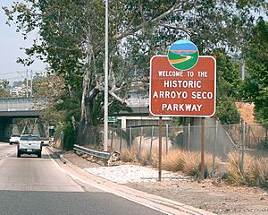
- State Route 110 (the Arroyo Seco Parkway): This was the very first freeway in the western United States! It's also a National Scenic Byway.
- It was named a Historic Parkway on January 1, 1994. This section runs through Los Angeles County, from Los Angeles to Pasadena.
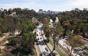
- State Route 163 (Cabrillo Parkway): This historic road goes right through Balboa Park in San Diego.
- It became a Historic Parkway on September 27, 2002. This part is in San Diego County, within Balboa Park.
Exploring California's Scenic State Highways
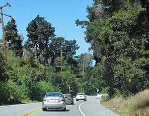
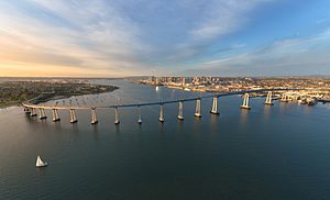
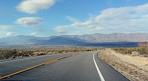
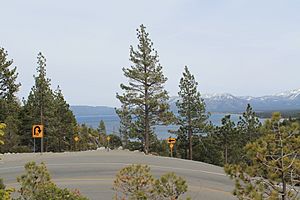
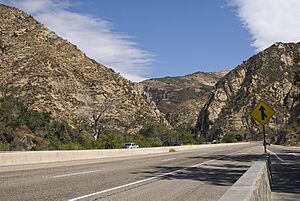
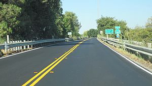
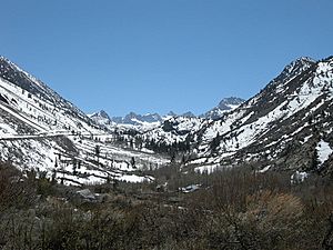
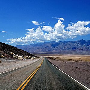
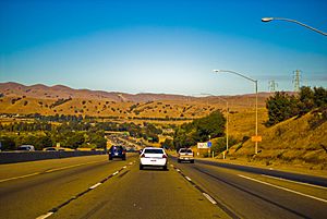
Many state highways in California are either "eligible" to be scenic or have been "officially designated" by Caltrans. Here are some of the most interesting ones:
- State Route 1
- This famous road, also known as the Cabrillo Highway, offers stunning views along the Pacific coast.
- A section from San Luis Obispo to Daly City is an All-American Road. It was designated in 1999 and 1965.
- The Big Sur Coast Highway is another amazing part, designated in 1965 and 1970, known for its dramatic coastal scenery.
- State Route 2
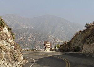
- Part of the Angeles Crest Scenic Byway, this road winds through the San Gabriel Mountains. It gives you incredible views of the Los Angeles Basin and the Mojave Desert. This section was designated in 1971.
- State Route 4
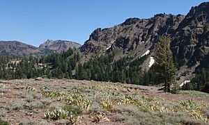
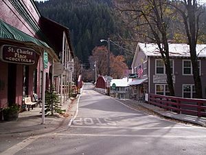
- The Ebbetts Pass Scenic Byway crosses the Sierra Nevada mountains. You can see giant sequoia trees along the way. It was designated in 1971 and 1970.
- Interstate 5
- The West Side Freeway section, designated in 1968 and 1974, follows the western edge of the Central Valley. It runs alongside the California Aqueduct, offering views of vast farmlands.
- State Route 9
- The Saratoga-Los Gatos Road, designated in 1979 and 1968, is a pretty drive through suburban areas at the base of the Santa Cruz Mountains.
- State Route 12
- The Valley of the Moon Highway, designated in 1974, takes you through the beautiful wineries and vineyards of Sonoma Valley.
- State Route 24
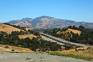
- This route, designated in 1982, offers scenic views through rolling hills in Orinda and Lafayette, with Mount Diablo in the distance.
- State Route 27
- Topanga Canyon Boulevard, designated in 2017, runs through the scenic Topanga Canyon and part of Topanga State Park.
- State Route 33
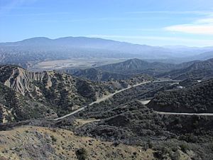
- The Jacinto Reyes Scenic Byway, designated in 1972 and 1988, goes through Los Padres National Forest. You'll see pine forests and semi-desert landscapes.
- State Route 35
- Skyline Boulevard, designated in 1968, runs along the ridge of the Santa Cruz Mountains, offering panoramic views.
- State Route 38
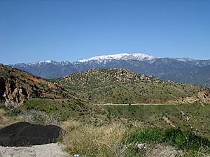
- The Rim of the World Scenic Byway, designated in 1968, drives through the San Bernardino Mountains. It provides amazing views of forested mountains and desert areas.
- U.S. Route 50
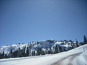
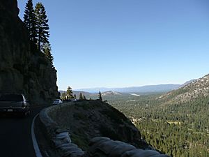
- This route, designated in 1985 and 1986, crosses the Sierra Nevada via the American River Canyon and Echo Summit, leading towards Lake Tahoe.
- State Route 62
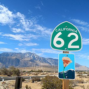
- The Twentynine Palms Highway, designated in 1972, runs through beautiful high desert country and Joshua Tree National Monument.
- State Route 74
- Part of the Pines to Palms Scenic Byway, designated in 1971, this road takes you from the forests of San Bernardino National Forest to the Mojave Desert.
- State Route 75
- The Silver Strand Highway, designated in 1974 and 1969, is a scenic drive along the Silver Strand and across the famous San Diego-Coronado Bridge.
- State Route 78
- The Anza-Borrego Desert State Park Road, designated in 1971, travels through the unique low desert landscapes of Anza-Borrego Desert State Park.
- State Route 84
- Niles Canyon Road, designated in 2007, runs through the scenic Niles Canyon.
- State Route 88
- The Carson Pass Highway, designated in 1986 and 1970, crosses the Sierra Nevada mountains via Carson Pass.
- State Route 89
- This route, designated in 1971, 1970, and 1986, includes Monitor Pass, Luther Pass Highways, and Lake Tahoe Road. It's a beautiful drive through the Sierra Nevada forests and along Lake Tahoe.
- State Route 91
- The Riverside Freeway, designated in 1971, runs along the Santa Ana River with views of natural riparian areas.
- U.S. Route 101
- The Gaviota Coast segment, designated in 2016, is a scenic drive along the Pacific coast and through the Santa Ynez Mountains.
- The Redwood Highway section, designated in 1970, takes you through the magnificent redwood forests of Del Norte Coast Redwoods State Park.
- State Route 116
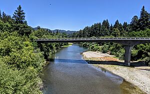
- This route, designated in 1988, is a scenic drive along the Russian River.
- State Route 140
- This route, designated in 1991, is a scenic drive through the Merced River Canyon to Yosemite National Park.
- State Route 151
- Shasta Dam Boulevard, designated in 1981, runs along a ridge overlooking Shasta Lake and the Sacramento River.
- State Route 152
- Pacheco Pass Road, designated in 1970, runs along the San Luis Reservoir and through the western edge of the Central Valley.
- State Route 154
- San Marcos Pass Road, designated in 1968, passes through the Santa Ynez Valley and over San Marcos Pass in the Santa Ynez Mountains.
- State Route 156
- This route, designated in 1972, goes through farmlands, especially artichoke fields, near Castroville, known as the "Artichoke Center of the World."
- State Route 160
- River Road, designated in 1969, runs along the Sacramento River in the Sacramento–San Joaquin River Delta.
- State Route 163
- The Cabrillo Freeway, designated in 1992, is a beautifully landscaped parkway through Balboa Park in San Diego.
- State Route 168
- Part of the Ancient Bristlecone Scenic Byway, designated in 1970, this road offers scenic views through the eastern side of the Sierra Nevada.
- State Route 180
- Part of the Kings Canyon Scenic Byway, designated in 2015, this road drives through the Sierra Nevada to Kings Canyon National Park.
- State Route 190
- The Death Valley Scenic Byway, designated in 1968 and 2002, is a scenic drive through Death Valley National Park, the lowest place in North America, surrounded by mountains.
- Interstate 280
- Nicknamed the "World's Most Beautiful Freeway," the Junipero Serra Freeway, designated in 1980, is a scenic route through the hills of the San Francisco Peninsula.
- State Route 243
- Part of the Pines to Palms Scenic Byway, designated in 1972, this road offers scenic views from the San Bernardino Mountains to the San Bernardino Valley.
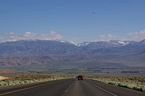
- U.S. Route 395
- This route, designated in 1970, 2000, and 1971, runs through the Owens Valley and high desert meadows. It provides amazing views of the Eastern Sierra Nevada mountains.
- Interstate 580
- This route, designated in 1974 and 1970, crosses the eastern edge of the Coast Ranges and the western edge of the Central Valley.
- The MacArthur Freeway section, designated in 1976, is a scenic landscaped route through Oakland.
- Interstate 680
- This route, designated in 1978 and 1982, crosses wooded hills and valleys of the Coast Ranges.
Designated County Scenic Highways
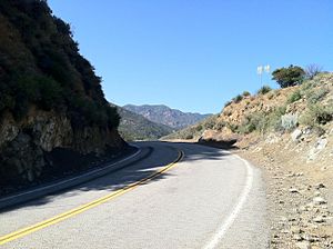
Counties can also have their own scenic highways! If a county road has amazing views, the local government can apply to Caltrans to have it designated. This process is similar to how state highways become scenic.
Here are some county roads that have been officially designated as scenic:
- County Route A18
- Lake Boulevard, designated in 1981, is a scenic drive overlooking Shasta Lake.
- County Route G14
- Nacimiento Lake Drive and Interlake Road, designated in 1981 and 1971, travel through the foothills near Lake Nacimiento and Lake San Antonio.
- County Route G20
- Laureles Grade, designated in 1969, is a winding scenic road between Carmel Valley Village and Monterey.
- County Route N1
- Malibu Canyon Road and Las Virgenes Road, designated in 2002, go through Malibu Canyon and the Santa Monica Mountains.
- Mulholland Highway
- A western part of Mulholland Highway, designated in 2002, runs through the Santa Monica Mountains from Leo Carrillo State Park to Rocky Oaks.
- Another section, also designated in 2002, goes through Malibu Creek State Park.
- River Road
- A segment of River Road, designated in 1969, runs along the Sacramento River in the Sacramento–San Joaquin River Delta.
See also
 In Spanish: Sistema Estatal de Carreteras Escénicas de California para niños
 | Jewel Prestage |
 | Ella Baker |
 | Fannie Lou Hamer |


