List of peninsulas facts for kids
A peninsula is a piece of land that is mostly surrounded by water but is still connected to a larger landmass, called the mainland. Think of it like a finger of land reaching out into the sea! The water around a peninsula is usually connected, even if it has different names.
Sometimes, a peninsula can also be called a cape, a promontory, or a spit. A "point" is a smaller piece of land that sticks out into the water, not as big as a cape. The word "peninsula" comes from Latin words meaning "almost" and "island."
Peninsulas Around the World
There are many amazing peninsulas all over the world. They come in all shapes and sizes!
Africa
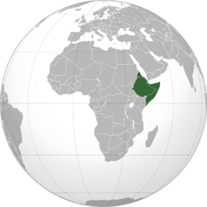
Africa has several interesting peninsulas.
North Africa
Some peninsulas in North Africa include:
Horn of Africa
The Horn of Africa is a famous peninsula in Northeast Africa. It sticks out into the Guardafui Channel. This area includes countries like Djibouti, Eritrea, Ethiopia, and Somalia.
Some peninsulas here are:
- Buri Peninsula, Eritrea
- Ras Hafun, Somalia
Other African Peninsulas
- Cape Peninsula, South Africa
- Le Morne Brabant, Mauritius
Antarctica
Even the icy continent of Antarctica has peninsulas!
- Antarctic Peninsula
- Edward VII Peninsula
Asia
Asia is home to some of the world's largest and most important peninsulas.
Eastern Asia
China
- Liaodong Peninsula
- Shandong Peninsula
Japan
Japan has many peninsulas, like:
- Shiretoko Peninsula (in Hokkaido)
- Noto-hanto (in Honshū)
- Satsuma-hanto (in Kyūshū)
Korea
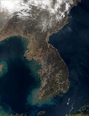
The entire landmass of North and South Korea is a peninsula. It has the East Sea to its east and south, and the Yellow Sea to its west and south. The Korea Strait connects these seas.
Northern Asia
Northern Asia has some very large and cold peninsulas:
- Chukchi Peninsula
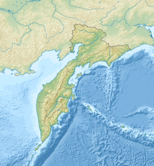
- Kamchatka Peninsula
- Taymyr Peninsula
- Yamal Peninsula
- Kola Peninsula, near the border with Finland.
South-eastern Asia
Indochina
The Indochina Peninsula is a huge area. A well-known part of it is the Malay Peninsula.
Indonesia
Indonesia has peninsulas on its many islands:
- Minahasa Peninsula, on Sulawesi island
- Bird's Head Peninsula, in West Papua Province
Philippines
The Philippines has many peninsulas, such as:
- Bataan Peninsula, on Luzon island
- Zamboanga Peninsula, on Mindanao island
Southern Asia
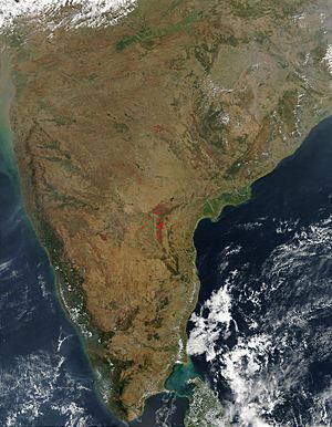
The Deccan Peninsula is a major landform in India.
Other peninsulas in this region include:
- Gwadar Peninsula, Pakistan
- Jaffna Peninsula, Northern Sri Lanka
- Kathiawar Peninsula, Gujarat, India
Western Asia
Arabia
The Arabian Peninsula is a very large peninsula. It includes countries like Saudi Arabia, Kuwait, Qatar, United Arab Emirates, Yemen, and Oman.
Turkey
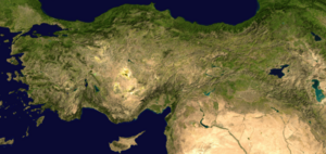
Turkey has several peninsulas, including the large Anatolian Peninsula. Other peninsulas are:
- Biga Peninsula
- Gallipoli
Europe
Europe itself is sometimes seen as a very large peninsula extending from Eurasia. It's one of the biggest peninsulas in the world! It has many smaller peninsulas, like the Scandinavian, Iberian, Balkan, and Apennine peninsulas.
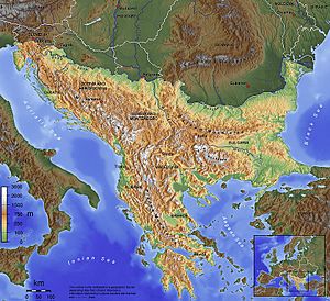
Balkan Peninsula
The Balkans is a peninsula that includes countries like Albania, Greece, Croatia, and parts of Turkey.
Some peninsulas here are:
- Chalkidiki, Greece
- Peloponnese, Greece (now an island because of the Corinth Canal)
- Istria, Croatia
France
- Brittany
- Cotentin Peninsula, Normandy
Iberian Peninsula
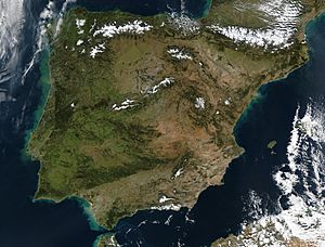
The Iberian Peninsula is a major part of Europe. It includes most of Portugal and Spain, plus Andorra and Gibraltar.
Some smaller peninsulas here are:
- Lisbon Peninsula, Portugal
- Gibraltar, Britain
Italy
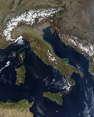
The Apennine Peninsula is the famous "boot" shape of Italy.
Other peninsulas in Italy include:
- Portofino
- Sorrentine Peninsula
Russia
Russia has many peninsulas, some of which are very cold:
- Curonian Spit, Kaliningrad Oblast (shared with Lithuania)
- Kola Peninsula
- Taman Peninsula
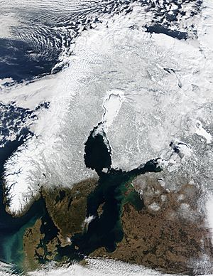
The Scandinavian region includes large peninsulas like the Scandinavian Peninsula itself.
Norway
- Bergen Peninsula
- Nordkinn Peninsula
Denmark
- Jutland Peninsula (now an island because of the Kiel Canal)
- Stevns Peninsula
United Kingdom
England
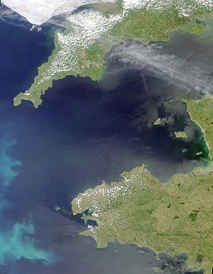
- South West Peninsula (includes Cornwall and Devon)
- Isle of Dogs, London
- The Lizard, Cornwall
Scotland
- Ardnamurchan, Lochaber
- Fife
- Kintyre, Argyll and Bute
Wales
- Gower Peninsula, Swansea
- Llŷn Peninsula
- Wales, which is itself a large peninsula!
Ukraine
- Crimean Peninsula, occupied by Russia
North America
North America has many well-known peninsulas.
Canada
- Labrador Peninsula, covering most of Quebec and Labrador
- Avalon Peninsula, Newfoundland and Labrador
- Bruce Peninsula, Ontario
Mexico
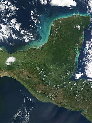
- Baja California Peninsula, in western Mexico
- Yucatán Peninsula, separating the Gulf of Mexico from the Caribbean Sea
United States
Alaska
California
Florida
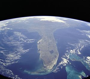
Florida is a very famous large peninsula! It also has smaller peninsulas within it:
- Pinellas peninsula, including St. Petersburg
- Cape Sable
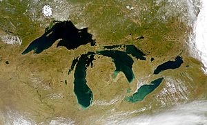
Michigan
Michigan is unique because it's made of two large peninsulas! The "mitten-shaped" Lower Peninsula of Michigan includes:
- Leelanau Peninsula
- The Thumb
The Upper Peninsula of Michigan contains:
Massachusetts
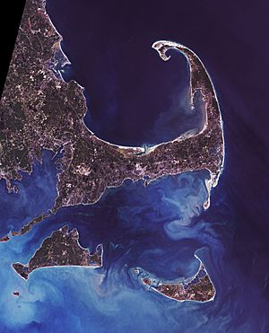
- Cape Cod, Massachusetts
- Cape Ann, includes Gloucester and Rockport
Virginia
Washington
Oceania
Australia
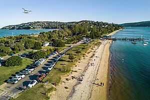
Australia has many peninsulas, such as:
- Cape York Peninsula, Queensland
- Eyre Peninsula, South Australia
- Mornington Peninsula, Victoria
- Tasman Peninsula, Tasmania
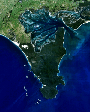
- Wilsons Promontory, Victoria
New Zealand
North Island
- Coromandel Peninsula
- Northland Peninsula
- Whangaparāoa Peninsula
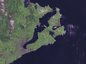
South Island
South America
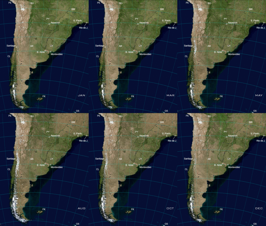
The Southern Cone of South America (including most of Chile, Argentina, and Uruguay) is sometimes considered a very large peninsula.
Argentina
Chile
Colombia
- Guajira Peninsula
Venezuela
- Paraguaná Peninsula
Fictional Peninsulas
Sometimes, authors create peninsulas in their stories!
- Brobdingnag from Gulliver's Travels
- The Valyrian Peninsula from A Song of Ice and Fire novels
See also
- Cape (geography)
- Isthmus
- Promontory
- Spit (landform)
 | Emma Amos |
 | Edward Mitchell Bannister |
 | Larry D. Alexander |
 | Ernie Barnes |


