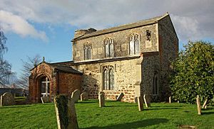
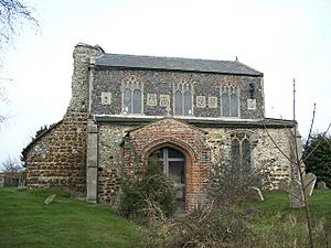
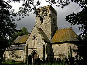
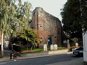
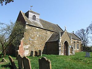
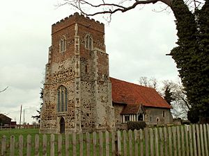
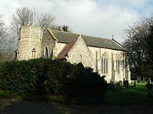
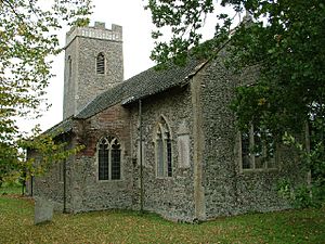
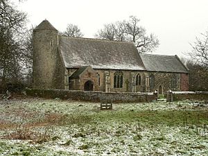
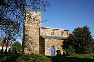
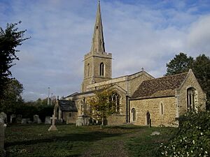
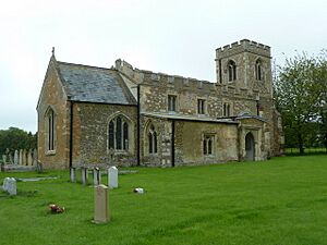
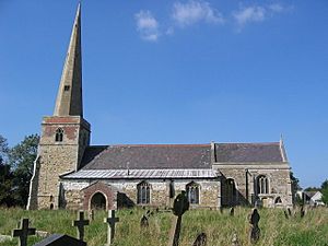
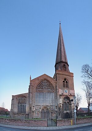
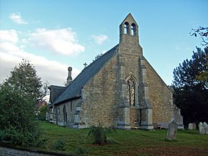
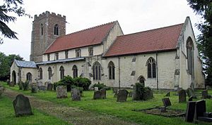
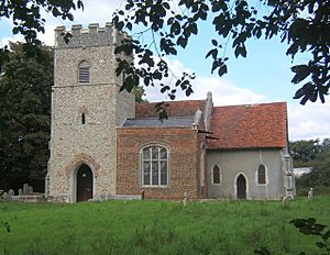
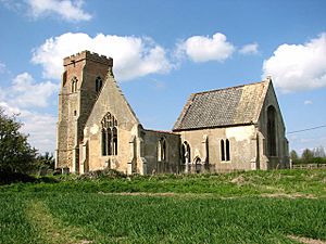
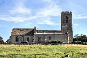
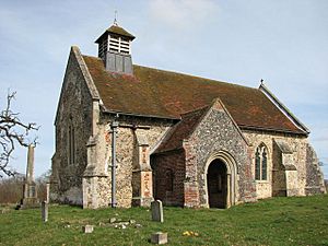
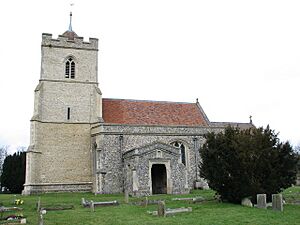
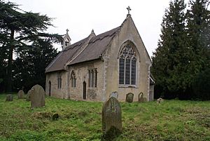
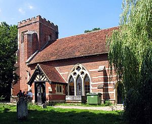
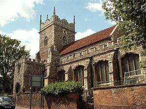
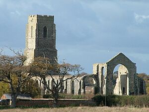
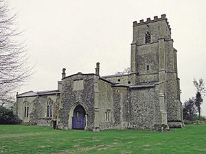
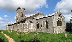
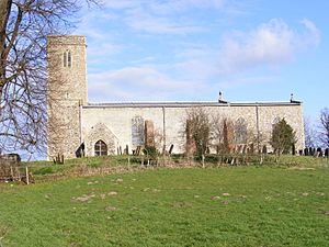
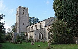
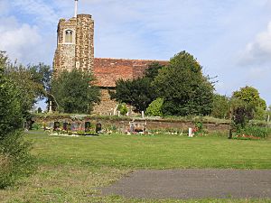
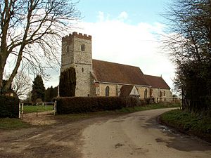
List of churches preserved by the Churches Conservation Trust in the East of England facts for kids
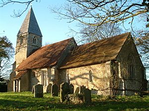
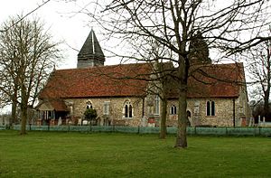
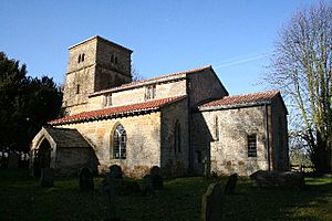
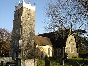
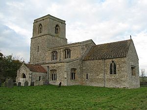
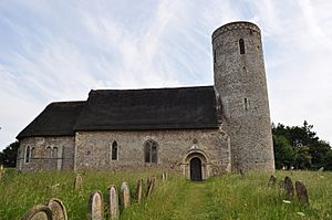
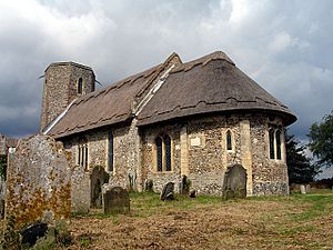
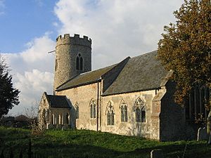
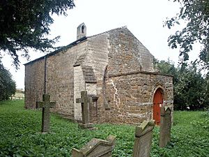
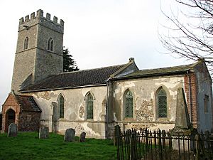
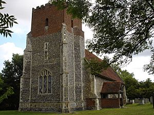
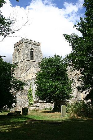
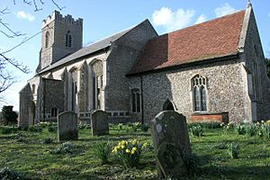
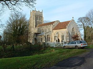
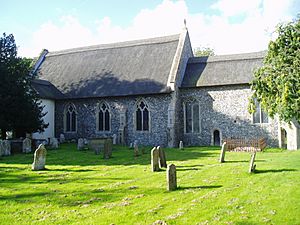
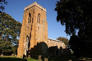
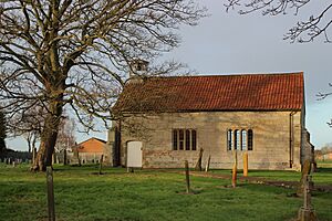
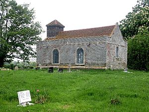
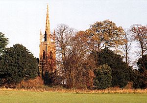
The Churches Conservation Trust is a special charity that helps protect old churches. These churches are no longer used by the Church of England but are important because of their history, amazing architecture, or special old features. The Trust was started in 1968 to save these buildings for everyone to enjoy. They look after more than 350 churches across England.
The Trust gets some money from the government and the Church of England. But they also rely on donations from people like you! They use this money to make sure the churches are safe from bad weather and don't fall apart. Many of these churches can still be used for special church services sometimes. Local communities are also encouraged to use them for events and activities. These old buildings are like living history books, helping kids and young people learn about the past and how buildings were made long ago. Almost 2 million people visit these churches every year!
Contents
Churches in the East of England
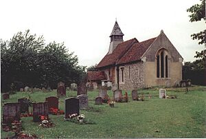
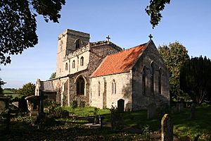
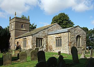
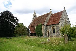
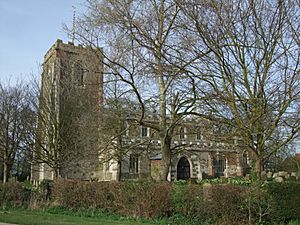
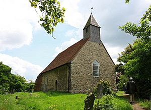
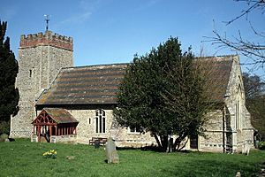
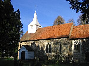
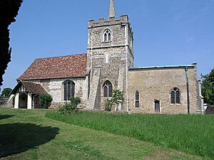
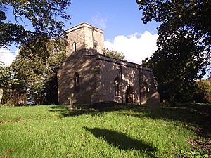
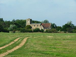
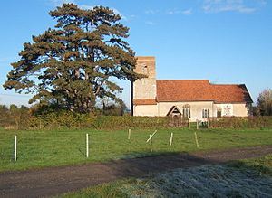
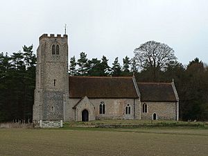
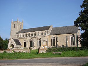
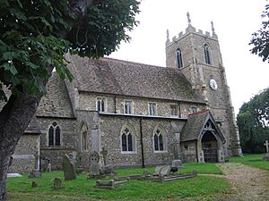
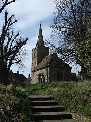
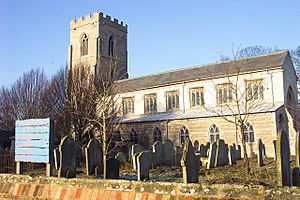
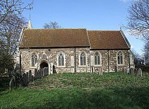
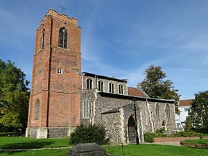
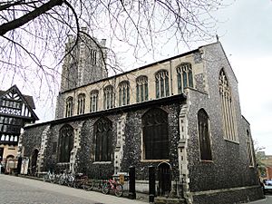
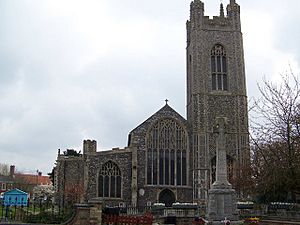
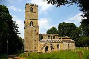
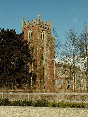
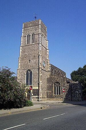
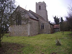
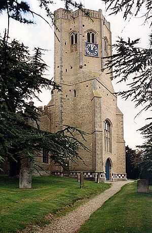
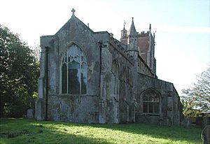
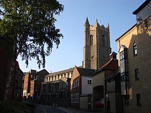
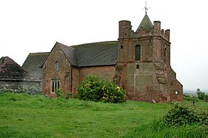
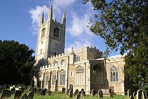
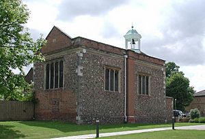
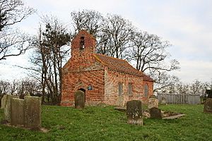
The Churches Conservation Trust looks after 104 churches in the East of England. This area includes counties like Bedfordshire, Cambridgeshire, Essex, Hertfordshire, Lincolnshire, Norfolk, and Suffolk.
How Old Are These Churches?
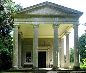
The churches vary a lot in age. Some are very, very old, like St Nicholas' Church in Feltwell, which has parts from the Saxon era (over 1000 years ago!). Others are much newer, like St Michael the Archangel's Church, Booton, built in the late 1800s. Most of these churches were built before the end of the 1400s. This means you'll see a lot of Norman and English Gothic styles. There's also one church in Georgian style (Old All Saints Church, Great Steeping) and one in Palladian style (St Andrew's Church, Gunton). The six newest churches are in the Gothic Revival style, which was popular in the 1800s.
Why Are These Churches Important?
All the churches looked after by the Trust are "listed buildings". This means they are officially recognized as important historical buildings. Most of them are listed at Grade I or Grade II*, which means they are very special!
Where Are the Churches Located?
Some churches are in busy towns or cities, but they became redundant because new churches were built nearby. Examples include St Martin's Church, Colchester, St John the Baptist's Church, Stamford, and three churches in Norwich. Sometimes, two churches are so close they share a churchyard, like the Church of St Cyriac and St Julitta, Swaffham Prior.
Other churches are in quiet, isolated places in the countryside. Some were left unused because the village they served became deserted, or people moved away. This happened to churches like St Peter's Church, Kingerby and St Mary's Church, Chilton. A few churches originally served large country houses but are no longer needed for that purpose, such as St Lawrence's Church, Snarford.
Sometimes, only part of a church is looked after by the Trust. For example, at St Mary, West Walton, only the separate bell tower is conserved, while the main church is still used. At All Saints Church, Newton Green, the church was divided, and the front part (chancel) is still used for worship, while the rest is cared for by the Trust.
Most of these churches are still considered sacred and are sometimes used for services. Many are also used for other events like concerts.
Understanding Church Grades
When a building is "listed," it means it's protected because of its special history or architecture. Here's what the different grades mean:
| Grade | What it Means |
|---|---|
| I | These are buildings that are super important, sometimes even famous around the world! |
| II* | These are also very important buildings, with more than just a little bit of special interest. |
| II | These buildings are important to the country and have special historical or architectural features. |
List of Churches in the East of England
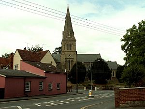
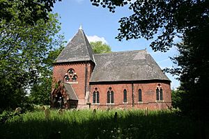
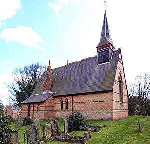
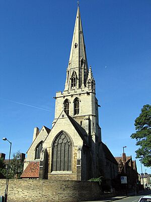
Here is a list of some of the churches in the East of England that the Churches Conservation Trust helps to protect. You can see where they are, when they were built, and how important they are (their grade).
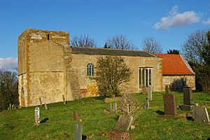
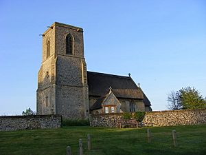
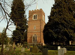
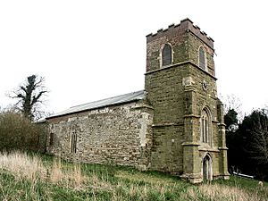
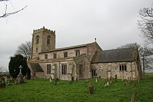
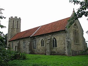
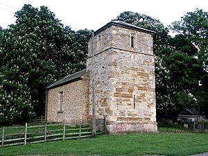
| Name and town or village |
County and coordinates |
Photograph | Date Built | Interesting Facts | Grade |
|---|---|---|---|---|---|
| St Nicholas, Feltwell | Norfolk 52°29′21″N 0°31′15″E / 52.4891°N 0.5209°E |
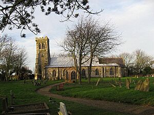
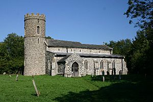
c. 683 | The tower and west wall are from the Saxon era. Most of the church is in the Perpendicular style, with decorated walls. It's wider than it is long because it has two side sections (aisles) but no main front section (chancel). | I | |
| St Martin, Waithe |
Lincolnshire 53°29′15″N 0°04′00″W / 53.4874°N 0.0666°W |
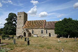
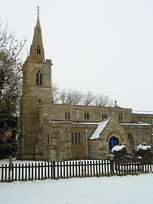
10th century | The central tower is from the Saxon period (10th century). Parts were added or changed in the 11th and 13th centuries. It was fixed up in 1861 in the Early English style. | I | |
| St Mary, Chickney |
Essex 51°55′43″N 0°17′18″E / 51.9287°N 0.2882°E |
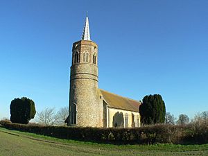
10th–11th century | St Mary's was built before the Norman conquest. The front section (chancel) was made longer in the 13th century, the tower was added in the 14th century, and the south porch in the 15th century. | I | |
| St Mary (old), West Bergholt |
Essex 51°55′02″N 0°50′18″E / 51.9171°N 0.8384°E |
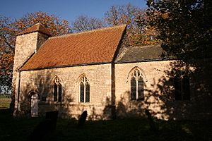
c. 1000 | The north wall is from about 1000. The front section (chancel) was extended around 1300, and the south side section (aisle) was added later that century. A new church, also called St Mary's, opened in 1904, so this older church was no longer needed in 1975. | I | |
| St Peter, Kingerby | Lincolnshire 53°25′19″N 0°24′37″W / 53.4219°N 0.4104°W |
Early 11th century | This church once served a village that is now empty. The oldest parts are from the early 11th century. Changes were made in the next three centuries and in the 17th century. | I | |
| St Peter, Claydon |
Suffolk 52°06′20″N 1°07′10″E / 52.1056°N 1.1195°E |
11th century | The main body (nave) is from the 11th century, and the east window from the 14th century. The tower was added in the 15th century. A big renovation happened in 1852, where the front section (chancel) was almost completely rebuilt, and side sections (transepts) were added. | I | |
| St Mary the Virgin, Little Hormead |
Hertfordshire 51°56′34″N 0°02′00″E / 51.9429°N 0.0332°E |
11th century | Much of this church is in the Norman style. It has a rare door with amazing 12th-century ironwork. The church was given to the Churches Conservation Trust in 1995. | I | |
| St Nicholas, Normanton | Lincolnshire 53°00′19″N 0°35′15″W / 53.0052°N 0.5874°W |
11th century | The church dates from the 11th century, with changes made in the next four centuries. In 1845, a small room (vestry) was added, and the front section (chancel) and north wall of the main body (nave) were largely rebuilt. It was declared redundant in 1974. | II* | |
| St Mary, North Cockerington |
Lincolnshire 53°24′04″N 0°03′20″E / 53.4011°N 0.0556°E |
11th century | St Mary's is a mile from its old village. It's from the 11th century, with changes in the late 12th, around 1300, and in the 14th century. The tower was added in the 19th century. It was declared redundant in 1981. | I | |
| All Saints, Wordwell |
Suffolk 52°18′58″N 0°40′50″E / 52.3160°N 0.6805°E |
11th century | The narrow windows (lancet windows) were replaced in the 14th and 15th centuries, and a porch was added around 1500. A renovation was done between 1857 and 1866 by S. S. Teulon. | I | |
| St Mary, Barnetby |
Lincolnshire 53°34′03″N 0°23′55″W / 53.5676°N 0.3986°W |
Late 11th century | St Mary's is from the 11th century. The tower was built in the 11th–12th century, and changes were made in the 13th, 17th, and 18th centuries. It was declared redundant in 1972. | I | |
| All Saints, Icklingham | Suffolk 52°19′22″N 0°36′15″E / 52.3228°N 0.6042°E |
11th–12th century | Even though it was mostly rebuilt in the 14th century, it still has some Norman parts in the main body (nave). A south porch was added in the 15th century. The church hasn't been used for over 100 years and was declared redundant in the 1970s. Its roof has since been re-thatched. | I | |
| St Mary, Stansted Mountfitchet |
Essex 51°53′43″N 0°12′33″E / 51.8953°N 0.2092°E |
1120–24 | Despite changes, the church still has some original parts. The front section (chancel) was extended and a chapel added in the 13th century. The tower was built in 1692. It was fixed up in 1888, but a new church was built closer to the village center the next year. St Mary's is still sacred and used for occasional services. | II* | |
| St Michael, Burwell | Lincolnshire 53°17′49″N 0°01′58″E / 53.2969°N 0.0327°E |
Early 12th century | St Michael's is from the early 12th century. The front section (chancel) was added in the 13th century, and the tower was built in the early 16th century. There were changes in the 18th and 19th centuries. It was restored in 1911 but declared redundant in 1981. | I | |
| St Martin, Colchester | Essex 51°53′27″N 0°53′58″E / 51.8909°N 0.8994°E |
Early 12th century | The main body (nave) and tower are from the 12th century. Most of the rest of the church was added in the 14th century. The tower was damaged during the Civil War and has never been fixed. The church was restored in the late 19th century by Giles Gilbert Scott. | II* | |
| St Benedict, Haltham on Bain | Lincolnshire 53°09′26″N 0°08′16″W / 53.1571°N 0.1379°W |
Early 12th century | Dating from the 12th century, changes were made later that century and in the next three centuries. It was restored in 1880 and 1891, increasing its seating from 67 to 140. The church was declared redundant in 1977. | I | |
| St Mary the Virgin, Little Bromley |
Essex 51°54′35″N 1°02′23″E / 51.9097°N 1.0397°E |
Early 12th century | The main body (nave) is from the early 12th century. The front section (chancel) was rebuilt in the 14th century. The lower part of the tower is from the early 15th century, and the top part was rebuilt in the 16th century. The church was restored in the 19th and 20th centuries. | II* | |
| St Nicholas, Brandiston | Norfolk 52°44′53″N 1°10′16″E / 52.7480°N 1.1712°E |
12th century | The lower part of the tower is from the 12th century, but its eight-sided top was added in the 19th century. The current north side section (aisle) was originally the main body (nave). A front section (chancel) was added in the 15th century. The windows in the south wall have some medieval stained glass. | II* | |
| St Barbara, Haceby | Lincolnshire 52°54′44″N 0°28′10″W / 52.9122°N 0.4694°W |
12th century | This limestone church is from the 12th century, with later additions. It was restored in 1890 and 1924. Above its front section (chancel) arch are Royal arms painted over a medieval "Doom" picture (showing the Last Judgment). | I | |
| St Margaret, Hales | Norfolk 52°30′38″N 1°30′40″E / 52.5106°N 1.5111°E |
12th century | St Margaret's has a round tower, a semicircular end (apse), two beautiful Norman doorways, and a thatched roof. Other than new windows, it hasn't changed much since it was built in the 12th century. There are traces of old paintings on the walls of the main body (nave). | I | |
| St Gregory, Heckingham | Norfolk 52°32′07″N 1°30′52″E / 52.5352°N 1.5144°E |
12th century | Most of this church is from the 12th and 13th centuries. The lower part of the tower is round, and the top two sections are eight-sided. The church also has a lovely Norman doorway and a rounded east end (apsidal). | I | |
| St John the Baptist, Hellington |
Norfolk 52°34′34″N 1°24′46″E / 52.5761°N 1.4128°E |
12th century | The round tower and much of the church's structure are from the 12th century; the rest is from the 14th century. The church has a "very elaborate" Norman south doorway. | I | |
| St Faith, Little Witchingham |
Norfolk 52°44′18″N 1°07′56″E / 52.7383°N 1.1323°E |
12th century | The church started in the 12th century, but most of it is from the 14th century. The tower was added in the 15th century. The church fell into ruin in the 20th century before its medieval wall paintings were found again. | II* | |
| St Mary, Moulton |
Norfolk 52°36′17″N 1°32′47″E / 52.6046°N 1.5464°E |
12th century | This church's structure is from the 12th, 14th, and 16th centuries. The east wall of the front section (chancel) was rebuilt in the 1870s. On the walls of the main body (nave) are 14th-century paintings showing Saint Christopher and the Seven Acts of Mercy. | I | |
| St Peter, Normanby by Spital | Lincolnshire 53°22′49″N 0°29′47″W / 53.3804°N 0.4964°W |
12th century | St Peter's is from the 12th century, with changes in each of the next three centuries. It was restored in 1890. Its north archway (arcade) is Norman with round arches, and its south archway has pointed arches. | I | |
| St Peter, Offord D'Arcy |
Cambridgeshire 52°16′57″N 0°13′04″W / 52.2824°N 0.2178°W |
12th century | The church has Norman beginnings. Its front section (chancel) was rebuilt in the 13th century, and the south side section (aisle), tower, and spire were added in the 14th century. The spire was rebuilt in 1860. The church's roof was leaking when it became redundant, but it has been fixed and is now used for events. | I | |
| All Saints, Saltfleetby | Lincolnshire 53°23′26″N 0°11′12″E / 53.3906°N 0.1867°E |
12th century | All Saints is in marshland and has a leaning west tower. One of its two pulpits was given by Oriel College, Oxford. The church is from the 12th century, with many later changes. It was declared redundant in 1973. | I | |
| St Andrew, Sapiston | Suffolk 52°19′58″N 0°49′02″E / 52.3328°N 0.8172°E |
12th century | This church originally served a village that is now empty. It has a Norman south doorway. The rest of the church is from the 14th century and was restored in 1847. It was declared redundant in 1973. | I | |
| St George, Shimpling | Norfolk 52°23′57″N 1°10′05″E / 52.3993°N 1.1680°E |
12th century | St George's is from the 12th century, with later additions and two renovations in the 19th century. The lower part of its tower is round, and the top section is eight-sided, topped with a lead-covered small spire. | I | |
| St Lawrence, Snarford | Lincolnshire 53°19′42″N 0°25′26″W / 53.3284°N 0.4240°W |
12th century | The church was built for the people living at Snarford Hall (which is now gone). It has fancy monuments to the St Paul family and a special plaque to Robert Rich. The church was declared redundant in 1995. | I | |
| All Saints, South Elmham |
Suffolk 52°23′37″N 1°25′21″E / 52.3937°N 1.4226°E |
12th century | The tower is round and has a Norman west window. The rest of the church is from between the 13th and 17th centuries. It was restored in 1870, when a Romanesque Revival south doorway was added. | I | |
| St John the Baptist, Stamford |
Lincolnshire 52°39′06″N 0°28′48″W / 52.6518°N 0.4800°W |
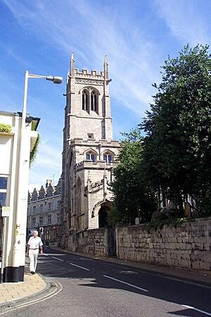
12th century | Built in the 12th century, the church grew bigger when the town was doing well in the early 15th century. It was restored in 1856. Repairs were needed in 1950–53 because the ground sank due to old burial vaults collapsing underneath. | I | |
| St James, Stanstead Abbotts |
Hertfordshire 51°46′51″N 0°01′39″E / 51.7807°N 0.0276°E |
12th century | This medieval church still has its original 18th-century inside. It has a fancy monument to Sir Edward Baesh, who died in 1587. In the churchyard are six important monuments and a tomb. | I | |
| St Andrew, Steeple Gidding | Cambridgeshire 52°25′07″N 0°20′13″W / 52.4185°N 0.3369°W |
12th century | The oldest part of the church is the Norman south doorway, but the rest is from the 14th century. The main body of the church was restored in 1874 and the tower in 1899. | II* | |
| All Saints, Theddlethorpe | Lincolnshire 53°22′14″N 0°11′55″E / 53.3705°N 0.1985°E |
12th century | Sometimes called the "Cathedral of the Marsh," All Saints is from the 12th century, with changes around 1380–1400 and again in the late 17th century. It was declared redundant in 1973. | I | |
| All Saints, Vange, Basildon |
Essex 51°33′12″N 0°28′20″E / 51.5533°N 0.47236°E |
12th century | This small, simple church is from the 12th century. It has parts of a Norman window and a 12th-century font (a basin for baptisms). | II* | |
| St Mary, Washbrook |
Suffolk 52°02′29″N 1°04′29″E / 52.0415°N 1.0746°E |
12th century | St Mary's is in a lonely spot in fields. Most of it is from the 14th century, but it was restored in 1866. | II* | |
| St Andrew, Willingale | Essex 51°44′30″N 0°18′38″E / 51.7418°N 0.3106°E |
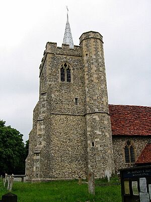
12th century | The main body (nave) is from the 12th century, and the front section (chancel) from the 15th century. In the 19th century, the church was restored and a small room (vestry) added. It's mostly built of flint with a red tiled roof. At its west end is a white weatherboarded belfry and spire. | II* | |
| St John, Duxford |
Cambridgeshire 52°05′40″N 0°09′23″E / 52.0944°N 0.1563°E |
Late 12th century | The Norman south door has a zigzag pattern. The church's central tower has a twisted small spire that was damaged in a storm. Inside, there are various wall decorations, including medieval wall paintings. | I | |
| St Michael, Farndish | Bedfordshire 52°15′50″N 0°38′30″W / 52.2638°N 0.6418°W |
Late 12th century | St Michael's is built with a mix of orange ironstone and grey limestone, giving it a colorful look. Its tower is built into the west part (bay) of the main body (nave). | I | |
| St Denys, Little Barford |
Bedfordshire 52°11′54″N 0°16′43″W / 52.1982°N 0.2785°W |
Late 12th century | This church originally served a village that is now empty. It was restored in 1869 by Arthur Blomfield. The ceiling paintings and the mosaic back altar screen (reredos) are from around this time. | II* | |
| St Mary, Badley |
Suffolk 52°09′47″N 1°00′50″E / 52.1630°N 1.0140°E |
c. 1200 | The way the seats (pews and benches) are arranged in the church hasn't changed since the 18th century. The church also has monuments and memorials, including 17 memorial floor slabs, mostly for the Poley family. | I | |
| St George, Edworth | Bedfordshire 52°03′04″N 0°13′08″W / 52.0510°N 0.2190°W |
c. 1200 | In the Middle Ages, the church belonged to St Neots Priory. It has an unusual basin (piscina) standing on a pillar. Also in the church are a piece of a 14th-century wall painting and some medieval stained glass. | I | |
| St Peter, South Somercotes |
Lincolnshire 53°25′20″N 0°07′45″E / 53.4221°N 0.1293°E |
c. 1200 | With its tall spire rising from a flat landscape, this church has been called "The Queen of the Marsh." Since it was declared redundant, its foundation has been strengthened (underpinned) because the ground was sinking. | I | |
| St Nicholas, King's Lynn | Norfolk 52°45′27″N 0°23′49″E / 52.7575°N 0.3970°E |
c. 1220 | The steeple fell in 1741 and was rebuilt in 1869. It has a rare surviving example of a church court (consistory court). Among its memorials is one designed by Robert Adam. | I | |
| St Michael, Longstanton | Cambridgeshire 52°16′23″N 0°03′17″E / 52.2730°N 0.0548°E |
Early 13th century | The design of this thatched church influenced the design of churches in the American Gothic Revival. Its contents include a double basin (piscina) said to be similar to one in Jesus College Chapel, Cambridge. | II* | |
| St Botolph, Skidbrooke | Lincolnshire 53°24′58″N 0°09′54″E / 53.4162°N 0.1651°E |
Early 13th century | Standing in the Lincolnshire marshlands, this church has had additions and changes since it was built in the 13th century. It was declared redundant in 1973. | I | |
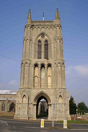
| Bell tower of St Mary, West Walton |
Norfolk 52°41′51″N 0°10′33″E / 52.69759°N 0.175781°E |
c. 1240–50 | This tower is separate from its church, which is still active. The bottom part of the tower is open on all sides for walkways. Above this are three more sections, all decorated with arches. | I | |
| St Nicholas, Buckenham | Norfolk 52°35′59″N 1°28′38″E / 52.5996°N 1.4771°E |
13th century | The tower of this church is completely eight-sided and has a Norman west doorway. Inside its upper part is a 17th-century dovecote (a place for doves) with brick nesting boxes. The church was damaged by vandals in the 1960s and 1970s but has since been repaired by the Trust. | I | |
| St Michael, Buslingthorpe | Lincolnshire 53°21′08″N 0°22′47″W / 53.3523°N 0.3797°W |
13th century | St Michael's is a simple church on the site of a deserted medieval village. Its limestone tower is from the 13th century, while the rest of the church was rebuilt in brick in 1835. It's known for two medieval monuments to the Buslingthorpe family. The church was declared redundant in 1984. | II* | |
| All Hallows, Clixby | Lincolnshire 53°31′27″N 0°20′19″W / 53.5242°N 0.3385°W |
13th century | Since being built in the 13th century, this church's structure got so bad that by 1871, only the front section (chancel) was left. This was restored in 1889 by C. Hodgson Fowler, and a west porch was added. The church was declared redundant in 1973. | II* | |
| St Michael, Coston | Norfolk 52°36′52″N 1°02′41″E / 52.6145°N 1.0447°E |
13th century | St Michael's is in the Early English style, mostly from the 13th century. A battlemented top edge (parapet) was added to the tower in the 15th century, the south porch was built in the 16th century, and the east wall was rebuilt later. | II* | |
| All Saints, Little Wenham |
Suffolk 52°00′43″N 1°01′51″E / 52.0119°N 1.0309°E |
13th century | All Saints is in a lonely spot near Little Wenham Hall. Inside, there are paintings of saints on the east wall, a fancy memorial to Joannes Brewse (died 1585), and a medieval metal plaque (brass) to Thomas Brewse (died 1514) and his wife. The brass is considered one of the best before the Reformation in Suffolk. | I | |
| St John the Baptist, Stanton |
Suffolk 52°19′36″N 0°52′40″E / 52.3268°N 0.8779°E |
13th century | Only the tower of this church is still standing, the main body has no roof. The west wall of the tower is built against the churchyard boundary, and its lowest part is open to allow people to walk around the outside of the church. | II* | |
| St Mary the Virgin, Wiggenhall | Norfolk 52°42′15″N 0°20′27″E / 52.7042°N 0.3409°E |
13th century | The doorways are from the 13th century, and the rest of the church from about 1400. It was restored in 1862 by G. E. Street. Its inside is special for the quality of its carved wooden fittings, especially the fancy font cover and the benches. Also in the church is a monument to Sir Henry Kervil (died 1624). This is a stone tomb with two statues (effigies) surrounded by columns. | I | |
| St Mary, Akenham |
Suffolk 52°05′46″N 1°08′04″E / 52.0962°N 1.1344°E |
Late 13th century | St Mary's is built mainly of flint with limestone decorations. The wall of the front section (chancel) is covered in stucco, and the chapel is made of brick. There's a Norman narrow window in the north wall of the main body (nave). During recent repairs, a basin (piscina) was found in the chapel and a blocked north doorway in the nave. | II* | |
| St Mary, Islington |
Norfolk 52°43′36″N 0°19′29″E / 52.7268°N 0.3247°E |
Late 13th century | Even though it's now a ruin, the church was still whole in 1883. Now, only the tower and the front section (chancel) still have roofs. Between them, the walls of the main body (nave) and side sections (transepts) are open to the sky. | II* | |
| St Andrew, Ufford |
Cambridgeshire 52°37′23″N 0°23′11″W / 52.6231°N 0.3863°W |
Late 13th century | Most of the church is from the 14th century. It has a main body (nave) without an upper row of windows (clerestory), side sections (aisles), and a front section (chancel). There's also a west tower and a small tower (rood turret) near where the nave and chancel meet, both with battlements. The church has 20th-century stained glass from the Arts and Crafts style. | I | |
| All Saints, West Harling |
Norfolk 52°25′44″N 0°54′08″E / 52.4289°N 0.9022°E |
Late 13th century | The church is in a lonely spot near Thetford Forest. Changes were made in the 14th and 18th centuries, and it was restored in 1902. Some of its windows have pieces of medieval stained glass. In the main body (nave) floor are three metal plaques (brasses) from the late 15th and early 16th centuries. | I | |
| St Mary, Redgrave |
Suffolk 52°21′48″N 1°01′11″E / 52.3633°N 1.0197°E |
c. 1280 | St Mary's has thirteen hatchments (diamond-shaped funeral paintings) and many important monuments. These include one for Sir Nicholas Bacon and another for Sir John Holt, a famous judge. In 2010, the entrance to a burial vault under the church was found by accident. | I | |
| St Margaret, Abbotsley | Cambridgeshire 52°11′37″N 0°12′19″W / 52.1935°N 0.2053°W |
c. 1300–10 | Statues of four kings stand on the corners of the tower's top. The church was restored in 1861 by William Butterfield, when the front section (chancel), north small room (vestry), and north porch were rebuilt. Even though the church is cared for by the Trust, its chancel is still used as a parish church. | II* | |
| St Peter, Cambridge | Cambridgeshire 52°12′41″N 0°06′49″E / 52.2115°N 0.1136°E |
Early 14th century | Although the church started in the 11th century, the oldest parts left are the tower and spire from the 14th century. The rest of the church was rebuilt smaller in 1781, making the tower and spire look very big. The church was declared redundant in 1973. | II* | |
| St Andrew, Frenze | Norfolk 52°22′49″N 1°08′10″E / 52.3802°N 1.1361°E |
Early 14th century | St Andrew's is in a lonely spot next to Frenze Hall. It's a small, simple church with a main body (nave) but no front section (chancel). It has a large Jacobean preaching stand (pulpit) with a canopy, and a private family seating area (manorial box pew), both from the early 17th century, plus seven metal plaques (brasses). | I | |
| St Peter, Sudbury |
Suffolk 52°02′19″N 0°43′53″E / 52.0387°N 0.7314°E |
1330–48 | The church stands in a prominent spot in the town center. It was damaged during the Civil War. The church was restored in 1858–59 by William Butterfield, and the front section (chancel) was restored and redecorated in 1898 by G. F. Bodley. | I | |
| St Andrew, Buckland | Hertfordshire 51°59′12″N 0°01′24″W / 51.9866°N 0.0232°W |
c.1348 | The main body (nave) and front section (chancel) are from about 1348. The tower is from about 1400, and the south side section (aisle) and south porch are from the late 15th century. Several restorations happened in the 19th century. It has many memorials, one from 1819 by Chantrey. | II* | |
| St Mary, Barton Bendish |
Norfolk 52°37′11″N 0°31′27″E / 52.6198°N 0.52423°E |
14th century | Although from the 14th century, the church has a Norman doorway moved from a nearby church that was being torn down. The tower fell in 1710 and hasn't been rebuilt. The roofs are thatched. Inside, there are private seating areas (box pews) from 1789 and parts of a wall painting showing Saint Catherine. | I | |
| St Michael, Berechurch | Essex 51°51′36″N 0°53′33″E / 51.8600°N 0.8926°E |
14th century | The tower is from the 14th century, and the Audley chapel from the early 16th century. The rest of the church was completely rebuilt in 1872, reusing some older materials. The chapel has a special roof (hammerbeam roof) with carvings of symbols from Henry VIII and Catherine of Aragon. The church was declared redundant in 1975. The chapel was given to the Trust in 1981, and the rest of the church has been changed for other uses. | II* | |
| St Leonard, Colchester | Essex 51°53′05″N 0°55′24″E / 51.8847°N 0.9232°E |
14th century | The main body (nave) has a 16th-century special roof (hammerbeam roof). During the Siege of Colchester in the Civil War, Royalist soldiers hid in the church. Over the years, the church needed many repairs because the ground sank or because of problems with how it was built before. | II* | |
| St Andrew, Covehithe | Suffolk 52°22′36″N 1°42′20″E / 52.3768°N 1.7055°E |
14th century | A small 17th-century church stands inside the ruins of a much larger medieval church. The small church is still used, while the tower and the ruins of the old church are looked after by the Trust. The church is in an area of the coast that is threatened by erosion. | I | |
| St Mary, East Bradenham |
Norfolk 52°38′20″N 0°51′08″E / 52.6389°N 0.8522°E |
14th century | St Mary's was built in the 14th century, with changes in the 15th and 19th centuries. Its tower is in the Perpendicular style. Along both sides of the upper row of windows (clerestory) are six round windows with quatrefoil patterns. | I | |
| St Mary, East Ruston |
Norfolk 52°48′13″N 1°30′22″E / 52.8037°N 1.5061°E |
14th century | The north side section (aisle) was removed in 1778. The inside of the church is known for its 15th-century painted and carved screen at the front (chancel screen). This screen has patterns and pictures of the Four Evangelists, four important church teachers, and lions. | II* | |
| All Saints, Ellough | Suffolk 52°25′24″N 1°35′29″E / 52.4233°N 1.5915°E |
14th century | All Saints is in a lonely spot on a low hill. It was restored in 1882 by William Butterfield, when the east window was replaced. Inside, there's a 14th-century basin (piscina) and seats for clergy (sedilia). The back altar screen (reredos) and the front section (chancel) ceiling were designed by Butterfield. | I | |
| St Peter, Hockwold | Norfolk 52°27′46″N 0°32′15″E / 52.4628°N 0.5375°E |
Mid 14th century | The main body (nave) and tower are from the middle of the 14th century, and the front section (chancel) was added in the next century. The church was restored in 1857. Inside, there's a wall memorial to Sir Cyril Wyche (died 1707), who was one of the first members of the Royal Society. | I | |
| St Mary, Lower Gravenhurst |
Bedfordshire 52°00′16″N 0°23′00″W / 52.0045°N 0.3833°W |
14th century | St Mary's is surrounded by fields on a small hill. Its tower was added around 1400. The main body (nave) and front section (chancel) have survived from the 14th century, as have the south door, the screen, the benches, and the roof. | I | |
| All Saints, Newton Green | Suffolk 52°02′11″N 0°47′51″E / 52.0365°N 0.7974°E |
14th century | By the 1960s, the church was in bad shape. It was divided at the arch leading to the front section (chancel), with the chancel still used for worship. The main body (nave) has a tomb from about 1300, 14th-century wall paintings showing the Incarnation, and a 15th-century eight-sided font. | II* | |
| St John the Baptist, Parson Drove |
Cambridgeshire 52°39′42″N 0°03′15″E / 52.6617°N 0.0543°E |
14th century | Most of the church's structure is from the late 15th or early 16th century, although in 1613 the front section (chancel) was destroyed by floods. It has a Perpendicular eight-sided font, a preaching stand (pulpit) dated 1677, and pieces of 15th-century stained glass. | II* | |
| St Mary, Potsgrove |
Bedfordshire 51°57′32″N 0°37′00″W / 51.9590°N 0.6167°W |
14th century | St Mary's was restored in 1880–81 by J. D. Sedding, who reused some of the medieval materials, including parts of the 14th-century screen. He also added the font and the small spire on the tower. The west window is almost entirely made of pieces of medieval glass. | II* | |
| St Augustine, Norwich | Norfolk 52°38′14″N 1°17′33″E / 52.6372°N 1.2925°E |
14th century | The main body of the church is made of flint, and the tower is made of brick, making it the only brick tower in Norwich. The church has a memorial to the architect Matthew Brettingham, who designed Holkham Hall, and another to Thomas Clabburn, a textile maker, put up by 600 of his workers. | I | |
| St John the Baptist, Norwich |
Norfolk 52°37′48″N 1°17′34″E / 52.6300°N 1.2927°E |
14th century | St John's is near the city center and is almost as wide as it is long. In 1876, much of the stained glass was damaged by a gas explosion. Many of the furnishings were collected from other churches by Rev William Busby, the local priest (vicar) in the early 20th century. | I | |
| St Mary, Rickinghall Superior |
Suffolk 52°19′53″N 0°59′38″E / 52.3314°N 0.9939°E |
14th century | The main body (nave) was rebuilt and the porch was added in the 15th century. The nave has four large Perpendicular windows on each side, and the porch has two floors. In 1868, the church was restored by W. C. Fawcett. | I | |
| St Mary the Virgin, Stonham Parva |
Suffolk 52°11′57″N 1°05′19″E / 52.1991°N 1.0885°E |
14th century | St Mary's was changed in the early 16th century and restored in the 19th century. The top edges (parapets) of the main body (nave) have battlements, and those of the triangular wall sections (gables) are stepped. The nave's double special roof (hammerbeam roof) has medieval carvings. | I | |
| All Saints, Thurgarton | Norfolk 52°52′35″N 1°14′23″E / 52.8763°N 1.2398°E |
14th century | This church has a thatched roof. Its west tower fell in 1882 and was replaced by a small room (vestry) at the west end in 1924. The inside of the church is known for its medieval benches with carved ends, and there are parts of wall paintings. | I | |
| St John the Baptist, Yarburgh |
Lincolnshire 53°25′02″N 0°01′52″E / 53.4172°N 0.0312°E |
14th century | St John's was mostly rebuilt in 1405 after a fire. It was restored in 1854–55 by James Fowler. The church has a noticeable sandstone tower, and its west doorway is decorated with carvings, including pictures of Adam and Eve and the serpent, and a lamb symbol (Paschal Lamb). | I | |
| St Mary, Bungay |
Suffolk 52°27′20″N 1°26′16″E / 52.4556°N 1.4379°E |
14th–15th century | Originally built as the church for a Benedictine monastery, St Mary's became a parish church after the monasteries were closed down. In 1577, it was hit by lightning, and in 1688, it was damaged in a fire that affected much of the town. The church has various carvings on the roof decorations (bosses), a cupboard carved with a rat, and a 17th-century panel given to the church by the author H. Rider Haggard. | I | |
| St Andrew, Redbourne | Lincolnshire 53°29′14″N 0°32′04″W / 53.4872°N 0.5345°W |
14th–15th century | The church was mostly rebuilt in the late 18th century. The south chapel was rebuilt in the early 19th century as a mausoleum (a grand tomb) for the Dukes of St Albans. It was restored in 1888 by local architect W. W. Goodhand. The east window has painted glass from about 1840, showing the Last Judgment. | I | |
| St Mary, Chilton |
Suffolk 52°02′46″N 0°45′15″E / 52.0461°N 0.7542°E |
15th century | St Mary's is on the site of a deserted medieval village near Chilton Hall. The tower and a special chapel (chantry chapel) were added in the 16th century, and the church was restored in the 1860s. The chapel has table tombs and memorials to the Crane family of Chilton Hall. | I | |
| St Mary at the Quay, Ipswich |
Suffolk 52°03′10″N 1°09′23″E / 52.0529°N 1.1564°E |
15th century | The church is lit by Perpendicular style windows. It has a medieval double special roof (hammerbeam roof) and a 15th-century font. | II* | |
| St Peter, North Barningham |
Norfolk 52°53′20″N 1°11′43″E / 52.8888°N 1.1953°E |
15th century | St Peter's is in a lonely spot on a hill. In the floor of the main body (nave) is a pattern like a rose window made of brick and stone. The church has monuments to the Palgrave family. | II* | |
| St Cyriac and St Julitta, Swaffham Prior | Cambridgeshire 52°15′03″N 0°17′45″E / 52.2509°N 0.2959°E |
15th century | This church shares its churchyard with the church of St Mary next door. The lower two parts of the tower are square, and its top part is eight-sided. In 1806, the main body (nave) and front section (chancel) were completely rebuilt. | II* | |
| St Andrew, Walpole | Norfolk 52°44′05″N 0°13′21″E / 52.7348°N 0.2225°E |
15th century | On the west side of the tower of this Perpendicular church is a room that was probably for a religious hermit (anchorite cell). At the east end of the main body (nave) are two eight-sided small towers (rood turrets), each topped with a small spire. | I | |
| St Laurence, Norwich | Norfolk 52°37′52″N 1°17′24″E / 52.6311°N 1.2901°E |
1460–72 | The church is on a sloping site. It has a large tower and eleven windows along the upper row (clerestory) on each side. Around the west doorway are carvings showing the difficult deaths (martyr) of Saints Edmund and Lawrence. | I | |
| All Saints, East Horndon |
Essex 51°34′51″N 0°21′33″E / 51.5809°N 0.3591°E |
Late 15th century | All Saints was built by the Tyrell family to replace an older church. Its unusual features include small towers (turrets) at the corners of the main tower, and upper rooms with balconies in both side sections (transepts). The south transept has monuments to the Tyrell family. Since the 19th century, the church has been damaged by decay, a bomb in World War II, fire, thieves, and vandals. | II* | |
| All Saints, Conington | Cambridgeshire 52°27′30″N 0°15′51″W / 52.4583°N 0.2642°W |
c. 1500 | The embattled top edges (parapets) were restored in 1638 by Sir Thomas Cotton. Many restorations and repairs were done in the 19th century. In the church are monuments to the Cotton and Heathcote families, and a 15th-century font. Most other furnishings are from 1841. | I | |
| Oxhey Chapel, Oxhey | Hertfordshire 51°37′40″N 0°23′33″W / 51.6279°N 0.3925°W |
1612 | Built by Sir James Altham as a private chapel for his family and staff, it was damaged during the Civil War and later used for storage. The chapel was repaired and restored twice in the 19th century but got worse again in the 20th century. It has since been repaired and stands between a modern church and its priest's house (vicarage), surrounded by 1940s houses. | II* | |
| St George, Goltho | Lincolnshire 53°16′58″N 0°19′38″W / 53.2828°N 0.3272°W |
c. 1640 | This simple red brick church is built where an old Saxon settlement used to be. Changes were made in the early 18th and late 19th centuries. Two 17th-century gravestones have been put into the floor of the main body (nave). | II* | |
| Guyhirn Chapel of Ease, Guyhirn | Cambridgeshire 52°36′57″N 0°04′16″E / 52.6158°N 0.0710°E |
1660 | Built as a chapel of ease (a chapel for people who live far from the main church) after the Restoration, this is a simple building made of brick and stone. Its condition got worse in the 20th century, and the last service was in 1960. It is now supported by the Friends of Guyhirn Chapel. | II* | |
| All Saints (old), Great Steeping |
Lincolnshire 53°09′12″N 0°08′39″E / 53.1533°N 0.1441°E |
1748 | All Saints is a simple Georgian-style church built where an older medieval church stood. It was restored in 1908. A new church with the same name was built in 1891, and the old church was declared redundant in 1973. | II* | |
| St Andrew, Gunton | Norfolk 52°51′31″N 1°18′35″E / 52.8585°N 1.3096°E |
1769 | The church is next to Gunton Hall. It was designed by Robert Adam to look like a temple in the Palladian style. At the entrance is a portico (a porch with columns). | I | |
| All Saints, Haugham | Lincolnshire 53°18′46″N 0°00′12″E / 53.3127°N 0.0034°E |
1840 | All Saints was designed by W. A. Nicholson to replace an older church. Its fancy eight-sided spire is held up by flying buttresses and decorated with crockets (hook-shaped ornaments). Except for a 15th-century font, a holy water basin (stoup), and some memorial slabs, the inside fittings are from 1840. | II* | |
| Holy Trinity, Halstead | Essex 51°56′37″N 0°37′47″E / 51.9435°N 0.6296°E |
1843–44 | This church was designed by George Gilbert Scott in the Early English style. The spire fell down while it was being built. Some of the fittings were designed by Scott, and others were added later. The church was declared redundant in 1987. | II* | |
| St John the Baptist, Burringham |
Lincolnshire 53°34′17″N 0°44′39″W / 53.5713°N 0.7441°W |
1856–57 | S. S. Teulon designed this brick church with its short square tower and rounded east end (apsidal). The inside is decorated with red, yellow, and black bricks, and the floor has colorful encaustic tiles. The church closed in 1983 and was declared redundant the next year. | II | |
| St Helen, Little Cawthorpe |
Lincolnshire 53°20′00″N 0°02′11″E / 53.3332°N 0.0363°E |
1860 | A small church, seating only about 60 people, St Helen's is built of red brick and decorated with bands of black brick. At its west end is a small bell tower (bellcote) topped with a small spire and a weathercock. The church was declared redundant in 1996. | II | |
| All Saints, Cambridge | Cambridgeshire 52°12′30″N 0°07′24″E / 52.2083°N 0.1232°E |
1864 | All Saints, with its noticeable spire, was designed by G. F. Bodley. Bodley also designed much of the inside decoration and fittings, including the font, the preaching stand (pulpit), and the side section (aisle) screen. Stained-glass windows are by famous artists like Burne-Jones, Ford Madox Brown, William Morris, and C. E. Kempe. | I | |
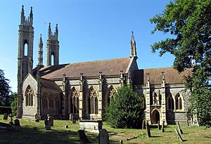
| St Michael the Archangel, Booton | Norfolk 52°45′27″N 1°08′41″E / 52.7574°N 1.1446°E |
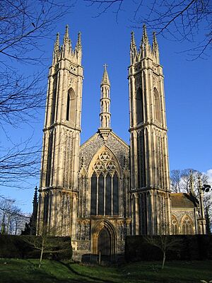
Late 19th century | This church was designed by its local priest (rector), Rev Whitwell Elwin, without an architect! He included details from other churches. At the west end, there are two slender towers set diagonally, and a three-level pointed top (pinnacle) that looks like a minaret. Inside is a special roof (hammerbeam roof) decorated with carved wooden angels. | II* |
More Information
- List of churches preserved by the Churches Conservation Trust in the English Midlands
- List of churches preserved by the Churches Conservation Trust in Northern England
- List of churches preserved by the Churches Conservation Trust in Southeast England
- List of churches preserved by the Churches Conservation Trust in Southwest England


